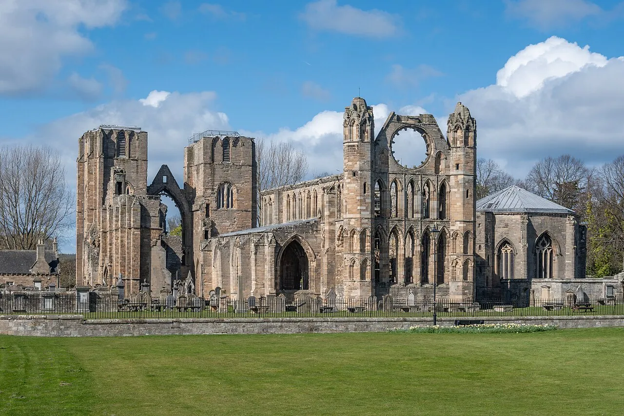
- Population
- 95,010
- 95K
- Elevation
- 489 m
- above sea level
- Local time
- UTC+00:00
- Europe/London · UTC+00:00
- Places inside
- 465
- listed under Moray
- Airports
- INV Inverness Airport50 km
- ABZ Aberdeen International Airport68 km
About Moray
Moray is a district. Location: Scotland, United Kingdom. Population: 95,010. The best months to visit are July–August. The nearest airport is Inverness Airport (50 km). Nearby sights include Tom a' Chait and Knock Frink.
Climate of Moray
Best months for sightseeingBest months for sightseeing: July–August.
This month · November
A cold month
Day 6° · Night 0° · Rain 90 mm
- Hottest month
- July (day 16°)
- Coldest month
- February (night -2°)
- Wettest month
- January (97 mm)
- Driest month
- April (58 mm)
Bars: average monthly low and high temperature. Below: precipitation. Monthly averages for 1970–2000 at about 18 km resolution, adjusted for elevation. Highlighted months are mild and relatively dry. Source: WorldClim 2.1 (CC BY 4.0).
Show values as a table
| Month | Jan | Feb | Mar | Apr | May | Jun | Jul | Aug | Sep | Oct | Nov | Dec |
|---|---|---|---|---|---|---|---|---|---|---|---|---|
| Average high (°C) | 4° | 4° | 6° | 8° | 11° | 14° | 16° | 16° | 13° | 10° | 6° | 4° |
| Average low (°C) | -2° | -2° | -1° | 0° | 3° | 6° | 8° | 8° | 6° | 3° | 0° | -1° |
| Precipitation (mm) | 97 | 67 | 76 | 58 | 61 | 63 | 62 | 73 | 84 | 96 | 90 | 85 |
How to get to Moray
The nearest airport is Inverness Airport (INV), 50 km to the west as the crow flies. For international flights: Aberdeen International Airport (ABZ) (68 km). The nearest large city is Aberdeen, 76 km to the southeast.
Airports
- Inverness Airport (INV) Inverness, Highland 50 kmwest
- Aberdeen International Airport (ABZ) Aberdeen 68 kmeast
- Dundee Airport (DND) Dundee 108 kmsouth
Nearby large cities
- Aberdeen Population: 198.6K 76 kmsoutheast
- Dundee Population: 148.2K 107 kmsouth
- Edinburgh Population: 515K 163 kmsouth
- Glasgow Population: 626.4K 183 kmsouth
- Newcastle upon Tyne Population: 300.1K 290 kmsouth
Straight-line distances; road distances are longer. Airport data: OurAirports.
Day trips from Moray
Within 100 km: 76 historic and cultural sites, 2,839 natural sites, 526 lakes, rivers and coasts.
0–25 km249 places
- Findlays Seat Mountain 17 kmN
- Island of Dundurcas Island 14 kmN
- Heathery Isle Island 9 kmNE
- Island Roary Island 7 kmNW
25–60 km1,033 places
- Balbithan Island Island 58 kmE
- Lossiemouth East Beach Beach 34 kmN
- Sunnyside Beach Beach 42 kmNE
- Eilean nan Clach Island 47 kmW
60–100 km2,159 places
- Newburgh Seals Beach Beach 77 kmE
- Aberdeen Beach Beach 76 kmE
- Moy Island Island 78 kmW
- Keith Inch Island 89 kmE
Straight-line distances.
Places in Moray
465 placesCities & villages14
- Stotfield · Village
- Thomshill · Village
- Thornhill · Neighbourhood
- Tomintoul · Village
- Tomnavoulin · Village
- Towiemore · Village
- Upper Dallachy · Village
- Urquhart · Village
- Wester Gaulrig · Village
- Whitehill · Village
- Whiteinch · Village
- Whitemire · Village
- Whitewreath · Village
- Woodside · Village
Mountains & nature28
- Stotfield Head · Natural site
- Strath Avon · Natural site
- Strath Spey · Natural site
- Tappoch · Mountain
- Ten Rood Hill · Mountain
- The Bochel · Mountain
- The Bruach · Mountain
- The Scalp · Mountain
- Thief's Hill · Mountain
- Thunderslap Hill · Mountain
- Tips of Clunymore · Mountain
- Tips of Corsemaul · Mountain
- Tom a' Chlaven · Mountain
- Tom an Urie · Mountain
- Tom a Voan · Mountain
- Tom Beag · Mountain
- Tom Dubh · Mountain
- Tomfarclas Hill · Mountain
- Tom Garbh-bheinne · Mountain
- Tom Mor · Mountain
- Tom na Bat · Mountain
- Tom na Vowin · Mountain
- Tom Trumper · Mountain
- Tor of Suie · Mountain
- Tronach Head · Natural site
- West Meur Gorm Craig · Mountain
- Whiteash Hill · Mountain
- York Tower · Mountain
Lakes, rivers & coasts3
- Stony Island · Island
- The Lake · Lake
- Water of Ailnack · River
Nearby attractions & nature
Everything nearby-
Tom a' Chait Mountain, Highland10 km SW
-
Knock Frink Mountain, Highland13 km W
-
Larig Hill Mountain, Highland17 km W
-
Geal Charn Mountain, Highland13 km W
-
Craig Watch Mountain, Aberdeenshire14 km E
-
Burn of Davidston River, Scotland17 km E
Sources & licences
Data last updated: