Shotts
Located in North Lanarkshire, Scotland Coordinates: 55°49′10″ N 3°47′51″ W
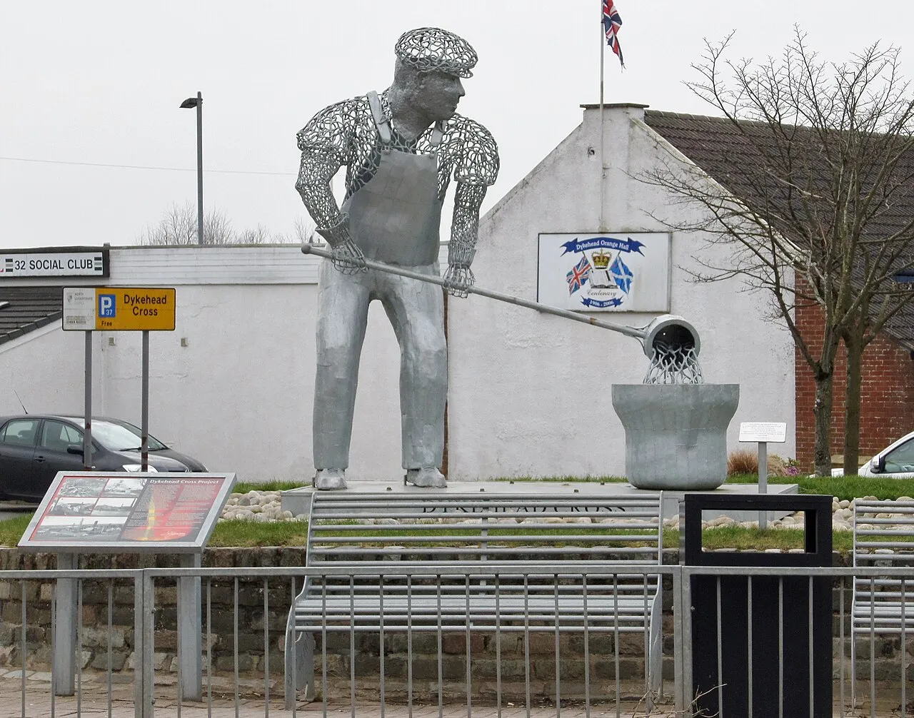
- Population
- 8,235
- 8.2K
- Elevation
- 216 m
- above sea level
- Local time
- UTC+00:00
- Europe/London · UTC+00:00
About Shotts
Shotts is a town. Location: North Lanarkshire, Scotland. Population: 8,235. Elevation: 216 m.
Shotts is a town in North Lanarkshire, Scotland. It is located 16 miles (25 kilometres) from Glasgow and has a population of about 8,840. A local story has Shotts being named after the legendary giant highwayman Bertram de Shotts, though toponymists give the Anglo-Saxon scēots ("steep slopes") as the real source of the name. Shotts is the home of the world famous Shotts and Dykehead Caledonia Pipe Band, 16-time winners of World Pipe Band Championships.
Read more on Wikipedia Text: Wikipedia contributors · CC BY-SA 4.0 · shortened
In comparison
- No. 10 of 37 places in North Lanarkshire by population
- Nearest larger town: Whitburn, 9 km NE
- 13 sights and natural places within 10 km Baton Bing, Cant Hills
Climate of Shotts
Best months for sightseeing: June–August.
| Month | Jan | Feb | Mar | Apr | May | Jun | Jul | Aug | Sep | Oct | Nov | Dec |
|---|---|---|---|---|---|---|---|---|---|---|---|---|
| Average high (°C) | 6° | 6° | 8° | 10° | 14° | 16° | 18° | 18° | 15° | 11° | 8° | 6° |
| Average low (°C) | 1° | 1° | 2° | 3° | 6° | 8° | 10° | 10° | 8° | 6° | 3° | 1° |
| Precipitation (mm) | 161 | 113 | 122 | 71 | 74 | 74 | 79 | 98 | 132 | 152 | 151 | 155 |
Monthly averages for 1970–2000 at about 18 km resolution, adjusted for elevation. Highlighted months are mild and relatively dry. Source: WorldClim 2.1 (CC BY 4.0).
Airports nearest to Shotts
- Edinburgh Airport (EDI) Ingliston, Edinburgh 30 km
- Glasgow Airport (GLA) Glasgow 40 km
- Glasgow Prestwick Airport (PIK) Prestwick, South Ayrshire 61 km
Straight-line distance; airports with scheduled flights only. Source: OurAirports (public domain).
Nearby attractions & nature
Everything nearby-
Baton Bing Mountain, North Lanarkshire1.6 km N
-
Cant Hills Mountain, North Lanarkshire3.3 km NW
-
Kirk o'Shotts Transmitting Station Landmark, North Lanarkshire4.1 km NW
-
Duntilland Hill Mountain, North Lanarkshire5.3 km NW
-
Fauldhouse Bing Mountain, West Lothian4.6 km NE
-
Tippet Knowe Mountain, West Lothian4.8 km E
-
Black Hill Transmitting Station Landmark, North Lanarkshire6.7 km NW
-
Hillend Reservoir Lake, North Lanarkshire8.3 km NW
Other cities and towns in North Lanarkshire
-
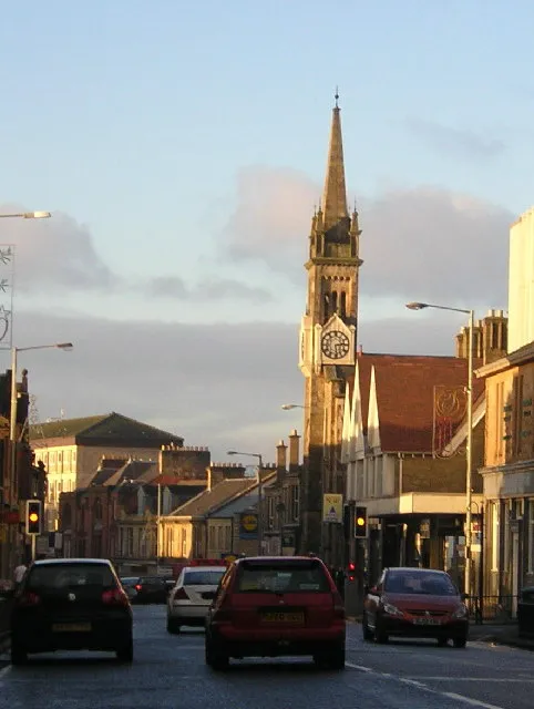 Wishaw Town, North Lanarkshire9.5 km SW
-
Newmains Town, North Lanarkshire6.2 km SW
-
 Airdrie Town, North Lanarkshire13 km NW
-
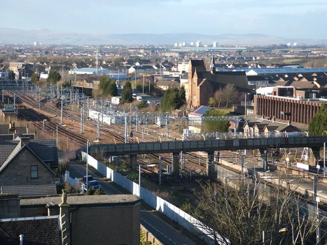 Motherwell City, North Lanarkshire13 km W
-
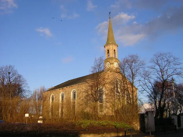 Bellshill Town, North Lanarkshire14 km W
-
Newarthill Town, North Lanarkshire8.8 km W
Sources & licences
Data last updated: · 2 independent sources