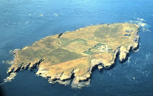
- Elevation
- 19 m
- above sea level
- Local time
- UTC+00:00
- Europe/London · UTC+00:00
- Airports
- WIC Wick John O'Groats Airport27 km
- KOI Kirkwall Airport30 km
About Muckle Skerry
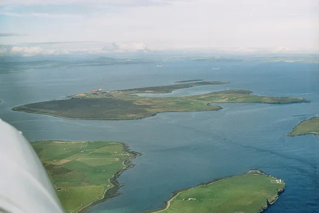
Muckle Skerry is an island. Location: Orkney Islands, Scotland.
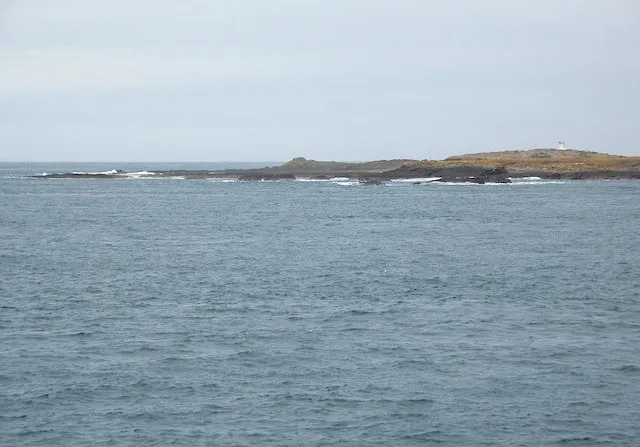
Muckle Skerry is the largest of the Pentland Skerries, a group of uninhabited islets that lie off the north coast of Scotland in the Pentland Firth. It is home to the Pentland Skerries Lighthouse, which is in the north of the island. The skerry is approximately 1 km (0.6 mi) by 0.6 km (0.4 mi), with an area of 40 ha (100 acres). It is surrounded by low cliffs, with caves and geos. There is a small landing point in Scartan Bay, to the east, with a track to the lighthouse. There is also a small burial ground.
Source: Wikipedia · CC BY-SA 4.0
At a glance
- Length
- 1.2 km
- Area
- 50 ha
Source: Wikidata
Photos of Muckle Skerry
-

Bill Boaden · CC BY-SA 2.0 -

Eirian Evans · CC BY-SA 2.0 -

Mike Pennington · CC BY-SA 2.0 -

Rob Farrow · CC BY-SA 2.0 -
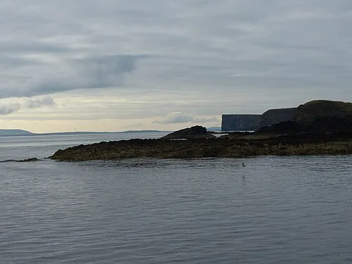
The Wing Bewahrerderwerte · CC BY-SA 4.0


Climate of Muckle Skerry
Best months for sightseeingBest months for sightseeing: July–August.
This month · November
A wet month
Day 9° · Night 4° · Rain 124 mm
- Hottest month
- August (day 15°)
- Coldest month
- February (night 2°)
- Wettest month
- November (124 mm)
- Driest month
- May (53 mm)
Bars: average monthly low and high temperature. Below: precipitation. Monthly averages for 1970–2000 at about 18 km resolution, adjusted for elevation. Highlighted months are mild and relatively dry. Source: WorldClim 2.1 (CC BY 4.0).
Show values as a table
| Month | Jan | Feb | Mar | Apr | May | Jun | Jul | Aug | Sep | Oct | Nov | Dec |
|---|---|---|---|---|---|---|---|---|---|---|---|---|
| Average high (°C) | 7° | 6° | 7° | 9° | 11° | 13° | 15° | 15° | 14° | 11° | 9° | 7° |
| Average low (°C) | 2° | 2° | 2° | 3° | 6° | 8° | 10° | 10° | 8° | 7° | 4° | 3° |
| Precipitation (mm) | 108 | 83 | 95 | 63 | 53 | 54 | 61 | 72 | 98 | 114 | 124 | 114 |
How to get to Muckle Skerry
The nearest airport is Wick John O'Groats Airport (WIC), 27 km to the south as the crow flies. The nearest large city is Aberdeen, 179 km to the south.
Airports
- Wick John O'Groats Airport (WIC) Wick 27 kmsouth
- Kirkwall Airport (KOI) Kirkwall, Orkney Islands 30 kmnorth
- Eday Airport (EOI) Eday 57 kmnorth
Nearby large cities
- Aberdeen Population: 198.6K 179 kmsouth
- Dundee Population: 148.2K 247 kmsouth
- Edinburgh Population: 515K 305 kmsouth
- Glasgow Population: 626.4K 325 kmsouth
Straight-line distances; road distances are longer. Airport data: OurAirports.
Day trips from Muckle Skerry
Within 100 km: 37 historic and cultural sites, 772 natural sites, 290 lakes, rivers and coasts.
0–25 km136 places
- Flotta Island 20 kmNW
- Hesta Head Natural site 11 kmN
- Switha Island 16 kmNW
- Island of Stroma Island 11 kmW
25–60 km453 places
- Hoy Island 28 kmNW
- Shapinsay Island 40 kmN
- Rousay Island 54 kmN
- Eday Island 56 kmN
60–100 km510 places
- Papa Westray Island Island 74 kmN
- The Wart Island 62 kmN
- Westray Island 68 kmN
- Sanday Island Island 66 kmN
Straight-line distances.
Nearest towns and villages
-
Liddel Village, Orkney Islands5.7 km N
-
 Burwick Village, Orkney Islands6.5 km NW
-
Cleat Village, Orkney Islands6.3 km N
-
Duncansby Village, Highland9 km SW
-
Saint Margaret's Hope Village, Orkney Islands15 km N
-
John O' Groats Village, Highland9.9 km SW
Nearby attractions & nature
Everything nearby-
Muckle Skerry Lighthouse Landmark, Orkney Islands0.1 km N
-
The Wing Natural site, Orkney Islands6.4 km NW
-
Brough Ness Natural site, Orkney Islands5.2 km N
-
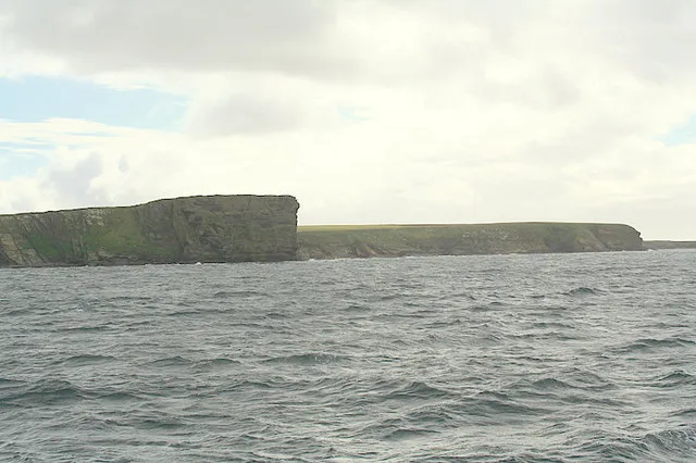 Barth Head Natural site, Orkney Islands7.6 km NW
-
Old Head Natural site, Orkney Islands5.3 km N
-
Ham Geo Natural site, Orkney Islands5.7 km N
-
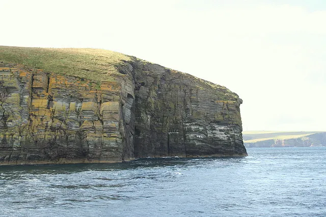 Halcro Head Natural site, Orkney Islands7.4 km N
-
Rami Geo Natural site, Orkney Islands6.8 km N
More lakes, rivers and coasts in United Kingdom
-
 Swona Island, Orkney Islands9.8 km NW
-
 Flotta Island, Orkney Islands20 km NW
-
South Ronaldsay Island, Orkney Islands9 km N
-
 Hoy Island, Orkney Islands28 km NW
-
Warbister Hill Island, Orkney Islands9.4 km NW
-
Ward Hill (S. Ronaldsay) Island, Orkney Islands10 km N
Sources & licences
Data last updated: · 2 independent sources