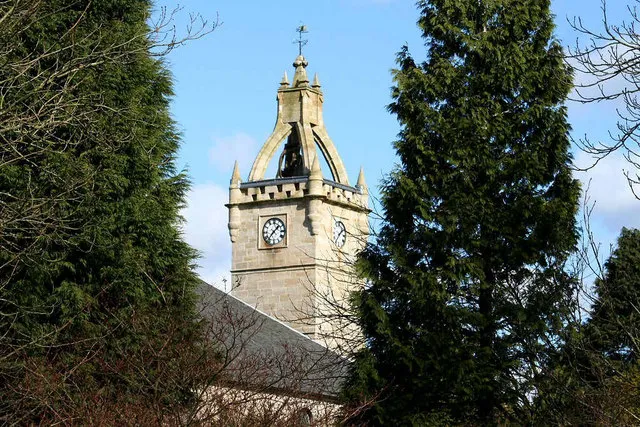
- Population
- 75,310
- 75.3K
- Elevation
- 161 m
- above sea level
- Local time
- UTC+00:00
- Europe/London · UTC+00:00
- Airports
- GLA Glasgow Airport20 km
- PIK Glasgow Prestwick Airport39 km
About East Kilbride
East Kilbride is a town. Location: South Lanarkshire, Scotland. Population: 75,310. Elevation: 161 m.
East Kilbride (; Scottish Gaelic: Cille Bhrìghde an Ear [ˈkʲʰiʎə ˈvɾʲiːtʲə əɲ ˈɛɾ]), often referred to as EK, is the largest town in South Lanarkshire in Scotland, and the country's sixth-largest locality by population, with 76,607 inhabitants in 2022. Historically a small village, it was designated Scotland's first "new town" on 6 May 1947, and thereafter widely expanded.
Source: Wikipedia · CC BY-SA 4.0
Photos of East Kilbride
-

Ross Watson · CC BY-SA 2.0 -

Ross Watson · CC BY-SA 2.0 -

Dawgy · CC BY-SA 2.0 -
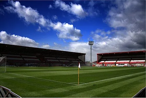
New Douglas Park Alasdair Middleton from Rothesay, Scotland · CC BY 2.0


Travel notes for East Kilbride
From Wikivoyage
East Kilbride is a town in the Central Belt of Scotland, some 8 miles southeast of Glasgow, with a population of 75,310 in 2020. It's notorious for its "New Town" architecture, yet its main attraction is the Museum of Rural Life. In Gaelic Cille Bhrìghde means the church of St Bride or Brigit, probably the 6th-century Irish saint rather than the 5th-century Scottish one.
Understand+
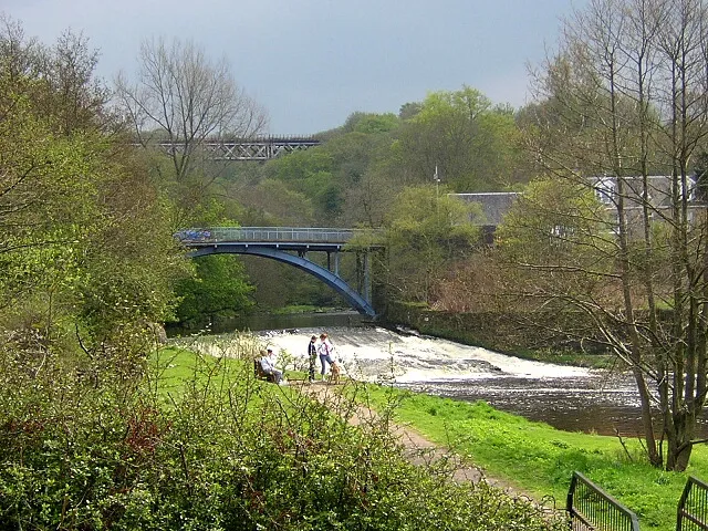
Housing in post-war Glasgow was a bleak mixture of slums and craters, so five "new towns" were built rapidly to rejuvenate the Central Belt. Four of them were on greenfield sites, East Kilbride being the first from 1947. It was followed by Glenrothes, Cumbernauld and Livingston, while the fifth was built onto the existing town of Irvine. These fulfilled an urgent need for housing but demonstrated all that is wrong with crass central planning. A sixth town, intended for Stonehouse south of Hamilton, fortunately was never built. However East Kilbride has preserved some attractive countryside along the Rotten Calder valley, the moors of Lanarkshire rise to the south, and a couple of miles out is the Museum of Rural Life.
Get in+
Long-distance public transport to East Kilbride usually involves travelling via central Glasgow and using the interchange there.
By road:
The usual approaches are M8 from Edinburgh, M74 from Carlisle and M77 from Kilmarnock, to join A725 / A726. From central Glasgow you'd probably follow A730 onto A749.
By plane:
From Glasgow Airport (GLA IATA) take the bus to Buchanan station then bus or train to East Kilbride as below.
By train:
1 East Kilbride railway station (EKL), Torrance Road, G74 1AR. The main station has trains every 30 min to and from Glasgow Central, taking 35 min. They run from 6AM to 11PM. The station is a terminus, with a ticket office and machines, waiting room, news stand and toilets. There is step-free access to the sole platform. (updated Feb 2026)
2 Hairmyres railway station (HMY), Redwood Drive, G74 5QG. Following electrification of the line in 2025, trains also stop at the refurbished Hairmyres station at the northwest edge of town, convenient for the University Hospital, the restaurants at the St. James Centre, K-Woodlands, and Jackton Distillery. (updated Feb 2026)
By bus:
3 East Kilbride bus station, 7 Olympia Way, G74 1JT. 24 hours. The bus station is in the main shopping centre. First Glasgow Bus 18 runs every 10 min from Glasgow Sauchiehall St and Central Station via Rutherglen to East Kilbride, taking an hour, and continues to Greenhills Shopping Centre. Night Bus N18 runs this route in the early hours of Saturday and Sunday. Bus 201 runs every 15 min from Airdrie via Coatbridge, Motherwell and Hamilton to East Kilbride and Hairmyres Hospital. (updated Feb 2026)
Source: Wikivoyage · CC BY-SA 4.0 · abridged
Climate of East Kilbride
Best months for sightseeingBest months for sightseeing: June–August.
This month · November
A wet month
Day 8° · Night 3° · Rain 155 mm
- Hottest month
- July (day 18°)
- Coldest month
- January (night 1°)
- Wettest month
- January (164 mm)
- Driest month
- April (73 mm)
Bars: average monthly low and high temperature. Below: precipitation. Monthly averages for 1970–2000 at about 18 km resolution, adjusted for elevation. Highlighted months are mild and relatively dry. Source: WorldClim 2.1 (CC BY 4.0).
Show values as a table
| Month | Jan | Feb | Mar | Apr | May | Jun | Jul | Aug | Sep | Oct | Nov | Dec |
|---|---|---|---|---|---|---|---|---|---|---|---|---|
| Average high (°C) | 6° | 6° | 8° | 10° | 14° | 16° | 18° | 17° | 15° | 12° | 8° | 6° |
| Average low (°C) | 1° | 1° | 2° | 3° | 5° | 8° | 10° | 10° | 8° | 6° | 3° | 1° |
| Precipitation (mm) | 164 | 114 | 124 | 73 | 76 | 73 | 81 | 100 | 137 | 158 | 155 | 155 |
How to get to East Kilbride
The nearest airport is Glasgow Airport (GLA), 20 km to the northwest as the crow flies. The nearest large city is Glasgow, 12 km to the northwest.
Airports
- Glasgow Airport (GLA) Glasgow 20 kmnorthwest
- Glasgow Prestwick Airport (PIK) Prestwick, South Ayrshire 39 kmsouthwest
- Edinburgh Airport (EDI) Ingliston, Edinburgh 54 kmnortheast
Nearby large cities
- Glasgow Population: 626.4K 12 kmnorthwest
- Edinburgh Population: 515K 65 kmeast
- Dundee Population: 148.2K 108 kmnortheast
- Belfast Population: 348K 171 kmsouthwest
- Newcastle upon Tyne Population: 300.1K 185 kmsoutheast
Straight-line distances; road distances are longer. Airport data: OurAirports.
Day trips from East Kilbride
Within 100 km: 179 historic and cultural sites, 3,658 natural sites, 1,039 lakes, rivers and coasts.
0–25 km156 places
- Newshot Island Island 22 kmNW
- Spiers Island Island 24 kmNE
- Long Loch Lake 16 kmW
- Lochgoin Reservoir Lake 12 kmSW
25–60 km1,358 places
- Great Cumbrae Island Island 47 kmW
- Ayr Beach Beach 45 kmSW
- Troon Beach Beach 39 kmSW
- Hunterston Sands Beach 45 kmW
60–100 km3,362 places
- Isle of Arran Island 70 kmW
- Burntisland Beach Beach 68 kmNE
- Cramond beach Beach 60 kmNE
- Portobello Beach Beach 70 kmE
Straight-line distances.
East Kilbride and similar cities
Side by side with cities of similar size in the same country: population, elevation and climate.
| Measure | East Kilbride | Hove | Aylesbury | Bracknell |
|---|---|---|---|---|
| Population | 75.3K | 75.2K | 74.7K | 76.1K |
| Elevation | 161 m | 24 m | 93 m | 81 m |
| Summer day (hottest month) | 18° | 22° | 22° | 22° |
| Winter night (coldest month) | 1° | 1° | 1° | 1° |
| Annual rainfall | 1,410 mm | 748 mm | 712 mm | 698 mm |
| Best months | Jun–Aug | Jun–Aug | Jun–Aug | Jun–Aug |
| Distance | — | 610 km | 492 km | 535 km |
Climate values are 1970–2000 monthly averages; straight-line distance.
Nearby attractions & nature
Everything nearby-
South Cathkin Hill Mountain, South Lanarkshire3.1 km N
-
Dechmont Hill Mediumwave Transmitter, Mast 3 Landmark, South Lanarkshire3.5 km N
-
Dechmont Hill Mediumwave Transmitter, Mast 2 Landmark, South Lanarkshire3.5 km N
-
Dechmont Hill Mediumwave Transmitter, Mast 1 Landmark, South Lanarkshire3.6 km N
-
Cathkin Braes Mountain, Glasgow City4.4 km NW
-
New Douglas Park Landmark, South Lanarkshire7.7 km E
-
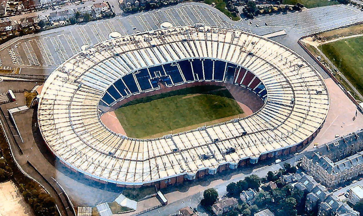 Hampden Park Landmark, Glasgow City8.3 km NW
-
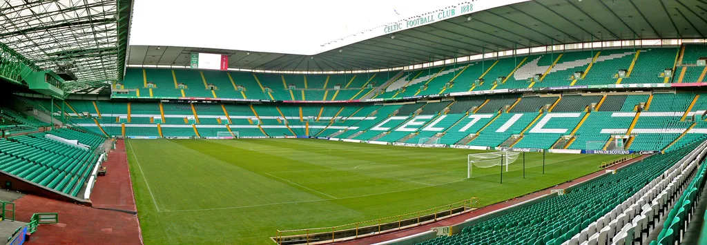 Celtic Park Landmark, Glasgow City9.6 km N
Other cities and towns in South Lanarkshire
-
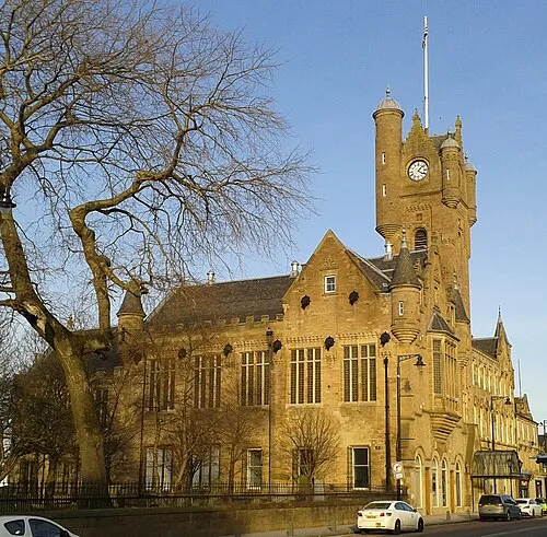 Rutherglen Town, South Lanarkshire7.6 km N
-
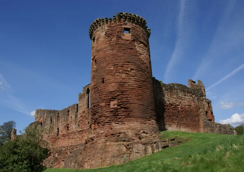 Bothwell Town, South Lanarkshire8 km NE
-
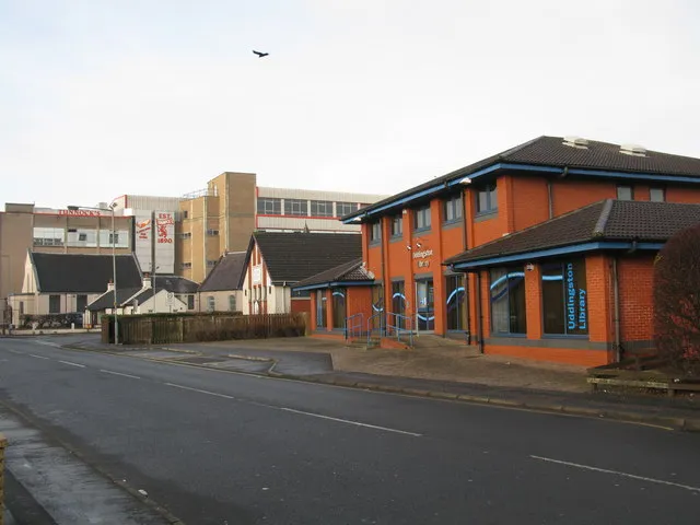 Uddingston Town, South Lanarkshire8.5 km NE
-
Blantyre Town, South Lanarkshire6.3 km NE
-
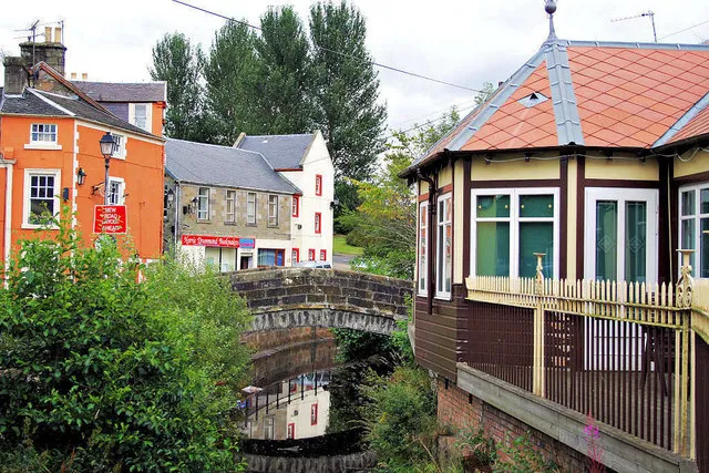 Strathaven Town, South Lanarkshire12 km SE
-
 Larkhall Town, South Lanarkshire14 km E
Sources & licences
Data last updated: · 2 independent sources