Rutherglen
Local name: An Ruadh-Ghleann
Located in South Lanarkshire, Scotland Coordinates: 55°49′44″ N 4°12′50″ W
- Population
- 30,950
- 31K
- Elevation
- 23 m
- above sea level
- Local time
- UTC+00:00
- Europe/London · UTC+00:00
- Airports
- GLA Glasgow Airport15 km
- PIK Glasgow Prestwick Airport43 km
About Rutherglen
Rutherglen is a town. Location: South Lanarkshire, Scotland. Population: 30,950. Elevation: 23 m.
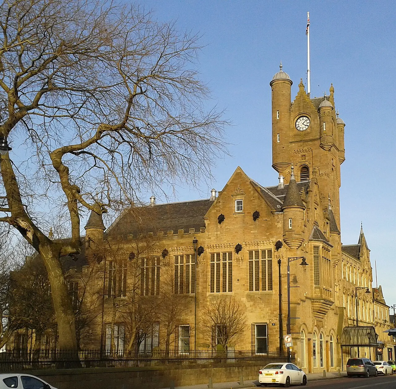
Rutherglen (; Scots: Ruglen, Scottish Gaelic: An Ruadh-Ghleann) is a town in South Lanarkshire, Scotland, immediately south-east of Glasgow, three miles (five kilometres) from the city. The town is directly south of the River Clyde. Having previously existed as a separate Lanarkshire burgh, in 1975 Rutherglen lost its own local council and administratively became a component of the City of Glasgow District within the Strathclyde region (along with neighbouring Cambuslang).
Source: Wikipedia · CC BY-SA 4.0
Photos of Rutherglen
-

Leslie Barrie · CC BY-SA 2.0 -

User:BrainiacBlink · CC BY-SA 4.0 -

Hugh Miller · CC BY-SA 2.0 -

Alec MacKinnon · CC BY-SA 2.0 -
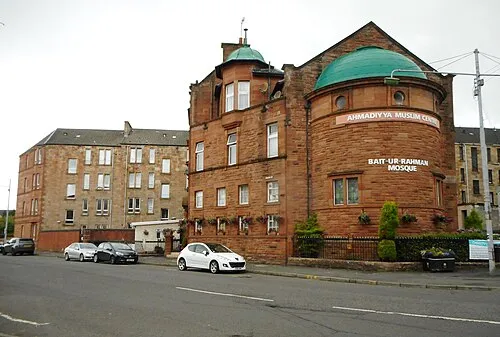
Bait-ur-Rahman Richard Sutcliffe · CC BY-SA 2.0


Travel notes for Rutherglen
From Wikivoyage
Glasgow (Gaelic: Glaschu) is the largest city in Scotland on Clydeside in the Central Belt. Glasgow reinvented itself from the 1990s, one of the most successful examples in Britain, with a range of developments in industry, culture, cuisine and architecture. It's now a lively destination meriting several days to explore, and with excellent visitor amenities in all price brackets. Its deep-red sandstone buildings have been scrubbed free of grime and the city is glorious in the sunshine, but it's a year-round place with plenty to occupy the dreich days.
Understand+
In 2024 the city had a population of 650,000, with a total of 1.2 million in the Greater Glasgow area, Scotland's largest conurbation. The name derives from ancient Brittonic glas cöü, a green hollow, which you will struggle to find. What you do encounter is a lively year-round destination with lots to see and do.
History:
Glasgow was a small market town until the 18th century, focused on the cathedral, so its "High Street" is a modest thoroughfare a mile east of the present centre. It grew rapidly when the 1707 Act of Union allowed Scotland to trade with English overseas colonies, flourishing with the transatlantic trade in tobacco, sugar and slaves. Glasgow's mills and foundries also drew in labour from the west Highlands and Donegal, as those regions lost their traditional smallholding ways of life. But the River Clyde was shallow, so the ports and shipyards grew up 25 miles downstream at Greenock, while a ramshackle flotilla of Cluthas and "Clyde Puffers" plied the city river. In the 1880s a deep channel was blasted, so shipyards and other metal-bashing industry developed at Govan. Their wealth created an elegant Victorian West End of mansions and parks, while the inner city earned a reputation as a dirty, rough place of teeming tenements, sectarian tensions, drunken brawls and poor life expectancy. In the 1960s, industry and employment collapsed, ill-designed new housing schemes were built, and drug misuse grew.
Orientation:
City Centre has the transport hubs, most visitor attractions, shopping and entertainment, and the commercial sector. It's an elegant grid of Victorian streets, several pedestrianised, bounded to the south by the Clyde and to north and west by M8. Principal thoroughfares are Argyle Street and Sauchiehall Street running east-west, and Buchanan Street south to north. East side of the centre is marketed as Merchant City, focussed on Glasgow Cross.
Get in+
By plane:
1 Glasgow Airport (GLA IATA), Paisley PA3 2ST (8 miles west of city centre, near Paisley), ☏ +44 344 481 5555. This is the city's principal airport, and a major portal of entry into Scotland. It has a wide range of European flights by traditional airlines, budget carriers and package/charters. Long-haul routes are from Toronto with Air Transat and Dubai with Emirates; other direct routes lapsed with covid. Flights from London by BA are frequent from Heathrow, less often from London City. Easyjet flies from Gatwick, Luton, Stansted, Belfast and Bristol. Flights within Scotland, including the Hebrides, Orkneys and Shetland, are by Loganair. The single terminal has the usual facilities, including car hire, cafes, and prayer rooms. (updated Apr 2023)
Airport hotels: see Paisley, as the airport is a couple of miles north of that town. Several are within walking distance, others are reached by shuttle bus or taxi.
Parking: Pick-up and drop-off costs £5 for 15 min. Use Short Stay for up to 90 minutes. There's a range of long-stay parks off-site, with transfer minibuses.
Transport from GLA is usually by bus, there's no railway station.
Glasgow Airport Express takes 15 min from the terminal via Dundas St (for Queen Street Station) to Buchanan Bus Station. It's every 10-15 minutes from 8AM to 11PM and hourly through the night. Tickets cost £10 for a single adult, £16 for an open return (within 28 days), and can be paid in cash (change is given) or by card, a little cheaper if booked online. Single tickets (but not returns) include an onward transfer to any other First Glasgow bus in the city centre.
First Glasgow Bus 77 takes an hour via Renfrew, Braehead, Govan (for QE Hospitals), Partick and Kelvingrove to Buchanan Bus Station. It's every 30 min 5:20AM to 9PM and while it's slow, it may be more convenient for the West End, and cheaper at £5.40 for a Dayrider single. (The airport is in "Local" zone, so the "City" zone fare isn't enough.)
Source: Wikivoyage · CC BY-SA 4.0 · abridged
Climate of Rutherglen
Best months for sightseeingBest months for sightseeing: June–August.
This month · November
A wet month
Day 9° · Night 4° · Rain 155 mm
- Hottest month
- July (day 19°)
- Coldest month
- January (night 2°)
- Wettest month
- January (164 mm)
- Driest month
- April (73 mm)
Bars: average monthly low and high temperature. Below: precipitation. Monthly averages for 1970–2000 at about 18 km resolution, adjusted for elevation. Highlighted months are mild and relatively dry. Source: WorldClim 2.1 (CC BY 4.0).
Show values as a table
| Month | Jan | Feb | Mar | Apr | May | Jun | Jul | Aug | Sep | Oct | Nov | Dec |
|---|---|---|---|---|---|---|---|---|---|---|---|---|
| Average high (°C) | 7° | 7° | 8° | 11° | 15° | 17° | 19° | 18° | 16° | 12° | 9° | 7° |
| Average low (°C) | 2° | 2° | 3° | 4° | 6° | 9° | 11° | 11° | 9° | 7° | 4° | 2° |
| Precipitation (mm) | 164 | 114 | 124 | 73 | 76 | 73 | 81 | 100 | 137 | 158 | 155 | 155 |
How to get to Rutherglen
The nearest airport is Glasgow Airport (GLA), 15 km to the west as the crow flies. The nearest large city is Glasgow, 5 km to the northwest.
Airports
- Glasgow Airport (GLA) Glasgow 15 kmwest
- Glasgow Prestwick Airport (PIK) Prestwick, South Ayrshire 43 kmsouthwest
- Edinburgh Airport (EDI) Ingliston, Edinburgh 54 kmeast
Nearby large cities
- Glasgow Population: 626.4K 5 kmnorthwest
- Edinburgh Population: 515K 65 kmeast
- Dundee Population: 148.2K 105 kmnortheast
- Belfast Population: 348K 175 kmsouthwest
- Newcastle upon Tyne Population: 300.1K 190 kmsoutheast
Straight-line distances; road distances are longer. Airport data: OurAirports.
Day trips from Rutherglen
Within 100 km: 178 historic and cultural sites, 3,697 natural sites, 1,079 lakes, rivers and coasts.
0–25 km184 places
- Newshot Island Island 15 kmNW
- Spiers Island Island 23 kmE
- Speirs Island Island 21 kmNE
- Long Loch Lake 16 kmSW
25–60 km1,338 places
- Great Cumbrae Island Island 45 kmW
- Ayr Beach Beach 49 kmSW
- Troon Beach Beach 43 kmSW
- Hunterston Sands Beach 44 kmW
60–100 km3,432 places
- Isle of Arran Island 70 kmW
- Burntisland Beach Beach 67 kmNE
- Portobello Beach Beach 70 kmE
- Gullane Beach Beach 89 kmE
Straight-line distances.
Nearby attractions & nature
Everything nearby-
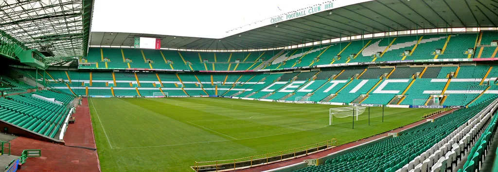 Celtic Park Landmark, Glasgow City2.3 km N
-
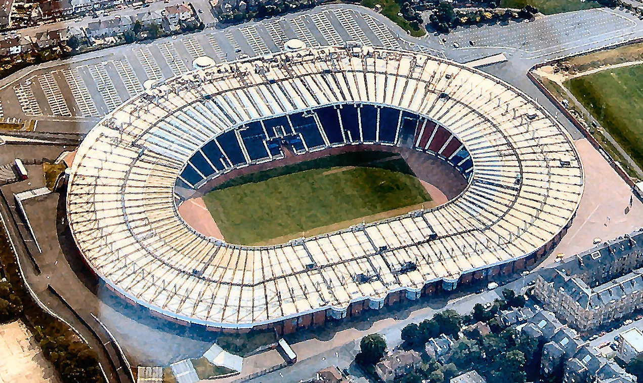 Hampden Park Landmark, Glasgow City2.4 km W
-
James Watt Statue Landmark, Glasgow City2.8 km NW
-
People's Palace Museum, Glasgow City2.9 km NW
-
Cathkin Braes Mountain, Glasgow City3.3 km S
-
Parkhead Natural site, Scotland3 km NE
-
Queen's Park Mountain, Glasgow City3.5 km W
-
Citizens Theatre Attraction, Glasgow City3.4 km NW
Other cities and towns in South Lanarkshire
-
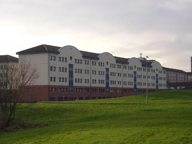 Cambuslang Town, South Lanarkshire3.9 km SE
-
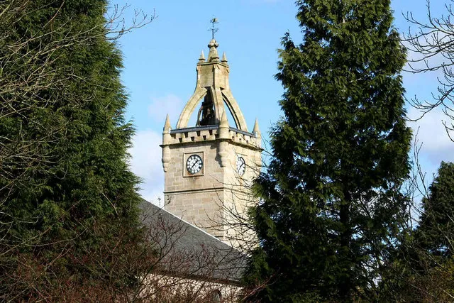 East Kilbride Town, South Lanarkshire7.6 km S
-
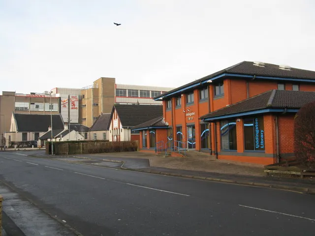 Uddingston Town, South Lanarkshire8.2 km E
-
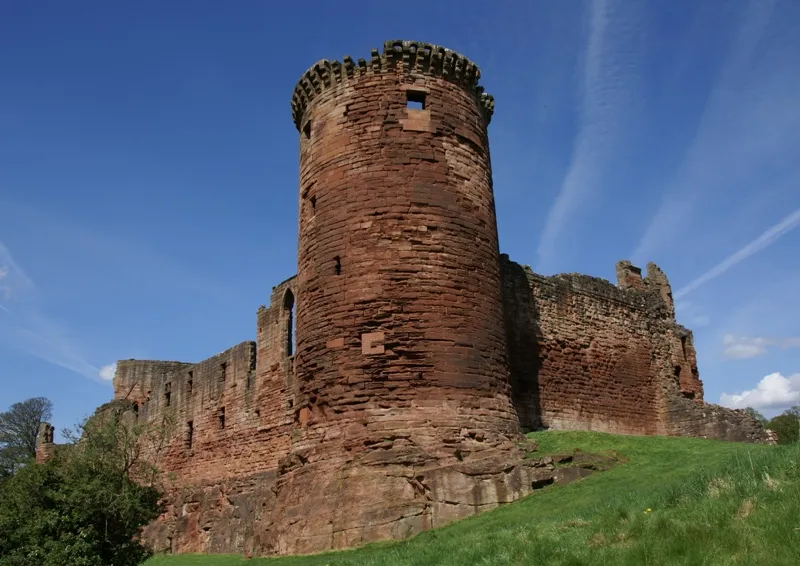 Bothwell Town, South Lanarkshire9.6 km E
-
Blantyre Town, South Lanarkshire8.3 km SE
-
High Blantyre Town, South Lanarkshire8.7 km SE
Sources & licences
Data last updated: · 2 independent sources