- Population
- 8,933
- 8.9K
- Elevation
- 10 m
- above sea level
- Local time
- UTC+00:00
- Europe/London · UTC+00:00
- Airports
- GLA Glasgow Airport4 km
- PIK Glasgow Prestwick Airport47 km
About Dalmuir
Dalmuir is a town. Location: West Dunbartonshire, Scotland. Population: 8,933. Elevation: 10 m. The best months to visit are June–August. The nearest airport is Glasgow Airport (4 km). Nearby sights include Dalmuir Light and Rashielee Light.
Climate of Dalmuir
Best months for sightseeingBest months for sightseeing: June–August.
This month · November
A wet month
Day 9° · Night 3° · Rain 148 mm
- Hottest month
- July (day 18°)
- Coldest month
- January (night 2°)
- Wettest month
- January (161 mm)
- Driest month
- April (69 mm)
Bars: average monthly low and high temperature. Below: precipitation. Monthly averages for 1970–2000 at about 18 km resolution, adjusted for elevation. Highlighted months are mild and relatively dry. Source: WorldClim 2.1 (CC BY 4.0).
Show values as a table
| Month | Jan | Feb | Mar | Apr | May | Jun | Jul | Aug | Sep | Oct | Nov | Dec |
|---|---|---|---|---|---|---|---|---|---|---|---|---|
| Average high (°C) | 7° | 7° | 9° | 11° | 15° | 17° | 18° | 18° | 16° | 12° | 9° | 7° |
| Average low (°C) | 2° | 2° | 2° | 4° | 6° | 9° | 11° | 11° | 9° | 6° | 3° | 2° |
| Precipitation (mm) | 161 | 111 | 121 | 69 | 73 | 70 | 80 | 96 | 129 | 152 | 148 | 147 |
How to get to Dalmuir
The nearest airport is Glasgow Airport (GLA), 4 km to the south as the crow flies. The nearest large city is Glasgow, 12 km to the southeast.
Airports
- Glasgow Airport (GLA) Glasgow 4 kmsouth
- Glasgow Prestwick Airport (PIK) Prestwick, South Ayrshire 47 kmsouth
- Edinburgh Airport (EDI) Ingliston, Edinburgh 66 kmeast
Nearby large cities
- Glasgow Population: 626.4K 12 kmsoutheast
- Edinburgh Population: 515K 77 kmeast
- Dundee Population: 148.2K 110 kmnortheast
- Belfast Population: 348K 175 kmsouthwest
- Aberdeen Population: 198.6K 199 kmnortheast
Straight-line distances; road distances are longer. Airport data: OurAirports.
Nearby attractions & nature
Everything nearby-
Dalmuir Light Landmark, West Dunbartonshire1.2 km SE
-
Rashielee Light Landmark, Renfrewshire1 km SW
-
Newshot Island Island, Renfrewshire1.3 km SE
-
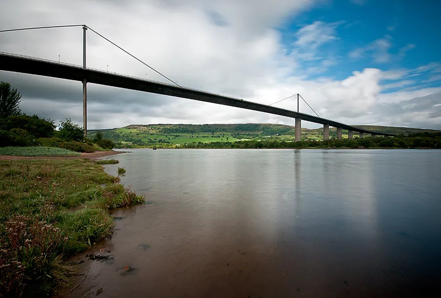 Erskine Bridge Landmark, West Dunbartonshire2.3 km NW
-
Donald's Quay Light Landmark, West Dunbartonshire2.9 km NW
-
Blythswood Light Landmark, Renfrewshire2.8 km SE
-
Craigend Hill Mountain, Renfrewshire2.4 km W
-
Creigarestie Mountain, West Dunbartonshire5.8 km NW
Other cities and towns in West Dunbartonshire
-
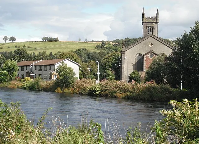 Bonhill Town, West Dunbartonshire11 km NW
-
Dumbarton City, West Dunbartonshire9.6 km NW
-
Vale of Leven Town, West Dunbartonshire12 km NW
-
Alexandria Town, West Dunbartonshire13 km NW
-
Dumbarton District Municipality, West Dunbartonshire14 km NW
Sources & licences
Data last updated: