- Elevation
- 348 m
- above sea level
- Local time
- UTC+00:00
- Europe/London · UTC+00:00
- Airports
- EDI Edinburgh Airport12 km
- GLA Glasgow Airport62 km
About Corston Hill
Corston Hill is a mountain. Location: West Lothian, Scotland. Elevation: 348 m. The best months to visit are June–August. The nearest airport is Edinburgh Airport (12 km). Nearby sights include Auchinoon Hill and Selms Tops.
Climate of Corston Hill
Best months for sightseeingBest months for sightseeing: June–August.
This month · November
A cold month
Day 7° · Night 1° · Rain 83 mm
- Hottest month
- July (day 17°)
- Coldest month
- January (night -1°)
- Wettest month
- October (90 mm)
- Driest month
- April (51 mm)
Bars: average monthly low and high temperature. Below: precipitation. Monthly averages for 1970–2000 at about 18 km resolution, adjusted for elevation. Highlighted months are mild and relatively dry. Source: WorldClim 2.1 (CC BY 4.0).
Show values as a table
| Month | Jan | Feb | Mar | Apr | May | Jun | Jul | Aug | Sep | Oct | Nov | Dec |
|---|---|---|---|---|---|---|---|---|---|---|---|---|
| Average high (°C) | 5° | 5° | 7° | 9° | 13° | 15° | 17° | 17° | 14° | 11° | 7° | 5° |
| Average low (°C) | -1° | -1° | 0° | 2° | 4° | 7° | 9° | 9° | 7° | 4° | 1° | 0° |
| Precipitation (mm) | 89 | 63 | 73 | 51 | 56 | 62 | 63 | 66 | 80 | 90 | 83 | 88 |
How to get to Corston Hill
The nearest airport is Edinburgh Airport (EDI), 12 km to the northeast as the crow flies. The nearest large city is Edinburgh, 19 km to the northeast.
Airports
- Edinburgh Airport (EDI) Ingliston, Edinburgh 12 kmnortheast
- Glasgow Airport (GLA) Glasgow 62 kmwest
- Dundee Airport (DND) Dundee 71 kmnorth
Nearby large cities
- Edinburgh Population: 515K 19 kmnortheast
- Glasgow Population: 626.4K 51 kmwest
- Dundee Population: 148.2K 74 kmnortheast
- Newcastle upon Tyne Population: 300.1K 152 kmsoutheast
- Aberdeen Population: 198.6K 166 kmnortheast
Straight-line distances; road distances are longer. Airport data: OurAirports.
Day trips from Corston Hill
Within 100 km: 280 historic and cultural sites, 3,091 natural sites, 765 lakes, rivers and coasts.
0–25 km302 places
- Cramond beach Beach 17 kmNE
- Portobello Beach Beach 24 kmNE
- Inchcolm Island 21 kmNE
- Harelaw Island Island 23 kmN
25–60 km1,268 places
- Burntisland Beach Beach 27 kmNE
- Gullane Beach Beach 43 kmNE
- Seacliff Beach Beach 55 kmNE
- Mugdrum Island Island 56 kmN
60–100 km2,566 places
- Great Cumbrae Island Island 93 kmW
- Ayr Beach Beach 87 kmSW
- Troon Beach Beach 84 kmSW
- Hunterston Sands Beach 92 kmW
Straight-line distances.
Nearest towns and villages
-
East Calder Village, West Lothian4.2 km N
-
Kirknewton Village, West Lothian4 km NE
-
Mid Calder Village, West Lothian4.6 km NW
-
Livingston City, West Lothian7.1 km NW
-
Polbeth Village, West Lothian6.4 km W
-
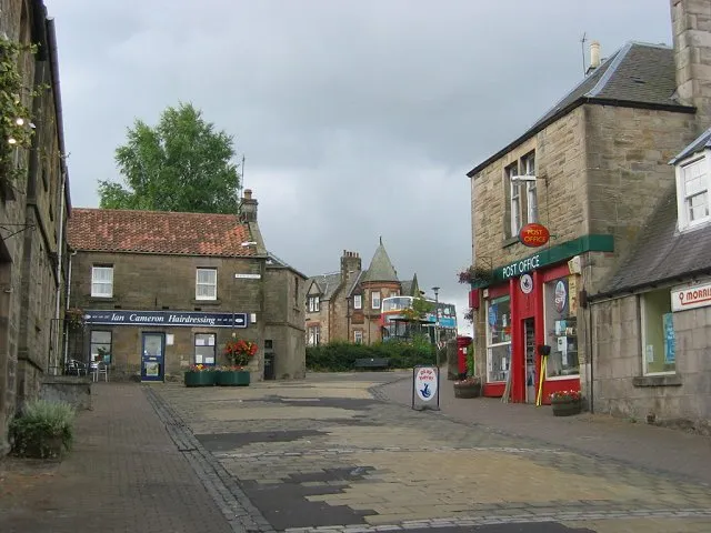 Balerno Town, Edinburgh7.5 km NE
Nearby attractions & nature
Everything nearby-
Auchinoon Hill Mountain, West Lothian0.9 km S
-
Selms Tops Mountain, West Lothian2.4 km N
-
Temple Hill Mountain, West Lothian2.7 km SE
-
Harperrig Reservoir Lake, Scotland2.5 km S
-
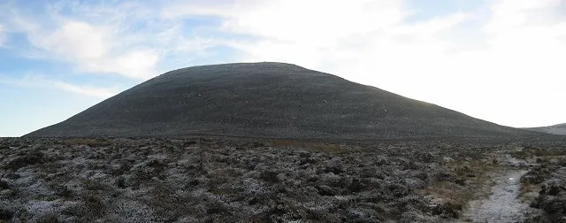 East Cairn Hill Mountain, Edinburgh5.3 km SE
-
Kaimes Hill Mountain, Edinburgh4.7 km NE
-
Mid Hill Mountain, Edinburgh4.8 km SE
-
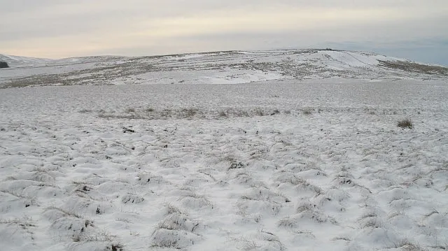 Torweaving Hill Mountain, West Lothian6.8 km S
More nature in United Kingdom
-
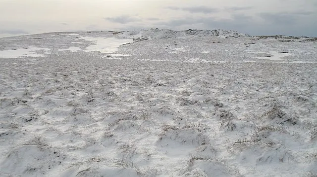 Mealowther Mountain, West Lothian7.6 km S
-
West Cairn Hill Mountain, West Lothian5.2 km S
-
Black Hill Mountain, West Lothian5.8 km S
-
Colzium Hill Mountain, West Lothian6.7 km S
-
Five Sisters Bing Mountain, West Lothian8.7 km W
-
Dechmont Law Mountain, West Lothian8.8 km NW
Sources & licences
Data last updated: