- Elevation
- 129 m
- above sea level
- Local time
- UTC+00:00
- Europe/London · UTC+00:00
- Airports
- LPL Liverpool John Lennon Airport125 km
- CWL Cardiff International Airport127 km
About Caer Pwll-glas
Caer Pwll-glas is a mountain. Location: Geneu'r Glyn, Ceredigion. Elevation: 129 m. The best months to visit are June–September. The nearest airport is Liverpool John Lennon Airport (125 km). Nearby sights include Castell Gwallter and Bryn-hir.
Photos of Caer Pwll-glas
-
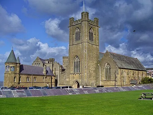
St Michael's Church Tanya Dedyukhina · CC BY 3.0 -
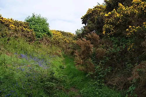
Castell Gwallter Bill Boaden · CC BY-SA 2.0 -
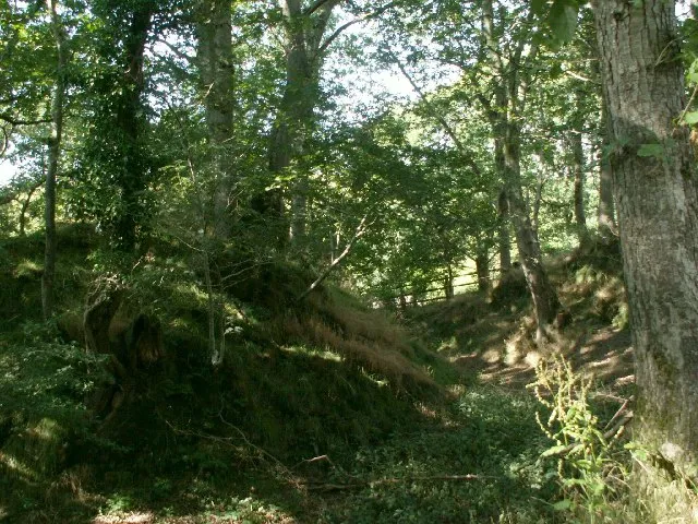
Castell Gwarcwm Nigel Callaghan · CC BY-SA 2.0 -
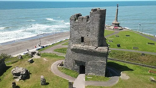
Aberystwyth Castle Llywelyn2000 · CC BY-SA 4.0


Climate of Caer Pwll-glas
Best months for sightseeingBest months for sightseeing: June–September.
This month · November
A wet month
Day 10° · Night 4° · Rain 134 mm
- Hottest month
- July (day 19°)
- Coldest month
- February (night 2°)
- Wettest month
- November (134 mm)
- Driest month
- May (61 mm)
Bars: average monthly low and high temperature. Below: precipitation. Monthly averages for 1970–2000 at about 18 km resolution, adjusted for elevation. Highlighted months are mild and relatively dry. Source: WorldClim 2.1 (CC BY 4.0).
Show values as a table
| Month | Jan | Feb | Mar | Apr | May | Jun | Jul | Aug | Sep | Oct | Nov | Dec |
|---|---|---|---|---|---|---|---|---|---|---|---|---|
| Average high (°C) | 7° | 7° | 9° | 11° | 14° | 17° | 19° | 19° | 16° | 13° | 10° | 8° |
| Average low (°C) | 2° | 2° | 3° | 4° | 6° | 9° | 12° | 11° | 9° | 7° | 4° | 3° |
| Precipitation (mm) | 116 | 84 | 96 | 65 | 61 | 78 | 78 | 95 | 101 | 124 | 134 | 128 |
Other places to visit in this season: June July August September
How to get to Caer Pwll-glas
The nearest airport is Liverpool John Lennon Airport (LPL), 125 km to the northeast as the crow flies. The nearest large city is Swansea, 94 km to the south.
Airports
- Liverpool John Lennon Airport (LPL) Liverpool 125 kmnortheast
- Cardiff International Airport (CWL) Cardiff 127 kmsouth
- Bristol Airport (BRS) Bristol 149 kmsoutheast
Nearby large cities
- Swansea Population: 300.4K 94 kmsouth
- Telford Population: 155.6K 109 kmeast
- Newport Population: 161.5K 120 kmsoutheast
- Cardiff Population: 372.1K 123 kmsoutheast
- Birkenhead Population: 325.3K 124 kmnortheast
Straight-line distances; road distances are longer. Airport data: OurAirports.
Day trips from Caer Pwll-glas
Within 100 km: 798 historic and cultural sites, 2,580 natural sites, 208 lakes, rivers and coasts.
0–25 km289 places
- Llyn Mwyngi Lake 25 kmN
- Cefn Mountain 16 kmNE
- Plynlimon Mountain 16 kmE
- Foel Fadian Mountain 21 kmNE
25–60 km1,248 places
- Mwnt beach Beach 56 kmSW
- Tresaith Beach Beach 50 kmSW
- Llangrannog's Beach Beach 46 kmSW
- Ynys Tywyn Island 52 kmN
60–100 km2,049 places
- Anglesey Island 94 kmN
- Poppit Sands Beach 61 kmSW
- Whistling Sands Beach 64 kmNW
- Traeth Penllech Beach 64 kmNW
Straight-line distances.
Nearest towns and villages
-
Bow Street Village, Tirymynach2.4 km SW
-
Llanfihangel-geneu’r-glyn Village, Geneu'r Glyn0.7 km NW
-
Llandre Village, Geneu'r Glyn0.8 km NW
-
Dole Village, Tirymynach0.5 km S
-
Pen-y-Bont Neighbourhood, Geneu'r Glyn1.8 km NW
-
Rhydypennau Village, Tirymynach1.2 km SW
Nearby attractions & nature
Everything nearby-
Castell Gwallter Historic site, Geneu'r Glyn1.2 km W
-
Bryn-hir Mountain, Geneu'r Glyn1.9 km W
-
Ysgubor y Banc Mountain, Geneu'r Glyn2 km W
-
Bryn-yr-eithin Mountain, Geneu'r Glyn2.2 km N
-
Hen Gaer Mountain, Tirymynach2.2 km S
-
Banc Ty-hen Mountain, Ceulanamaesmawr3.3 km NE
-
Banc Mynyddgorddu Mountain, Ceulanamaesmawr3.3 km E
-
Allt Dderw Mountain, Trefeurig3.5 km S
Sources & licences
Data last updated: