- Local time
- UTC+00:00
- Europe/London · UTC+00:00
- Elevation
- 28 m
- above sea level
- Airports
- LPL Liverpool John Lennon Airport86 km
- IOM Isle of Man Airport101 km
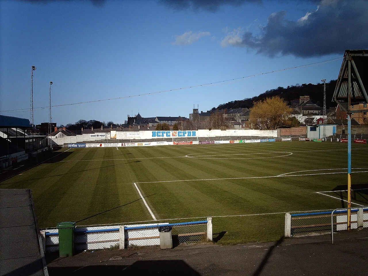
About Farrar Road Stadium
Farrar Road Stadium is a landmark. Location: Bangor, Gwynedd.
Farrar Road Stadium was a multi-purpose stadium in Bangor, Wales. The site of the ground is now covered by an Asda supermarket. From 1920, the year it was opened, until 2011 it was used mostly for football matches and was the home of Bangor City F.C. The stadium held 1,500 people, with 700 seats. The stadium was due to be demolished and redeveloped into a leisure complex after the 2008–09 season.
Source: Wikipedia · CC BY-SA 4.0
At a glance
- Built
- 1922
- Opened
- 1922
Source: Wikidata
Photos of Farrar Road Stadium
-
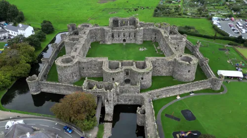
Beaumaris Castle Llywelyn2000 · CC BY-SA 4.0

Climate of Farrar Road Stadium
Best months for sightseeingBest months for sightseeing: June–September.
This month · November
A wet month
Day 11° · Night 5° · Rain 136 mm
- Hottest month
- July (day 20°)
- Coldest month
- February (night 3°)
- Wettest month
- November (136 mm)
- Driest month
- May (63 mm)
Bars: average monthly low and high temperature. Below: precipitation. Monthly averages for 1970–2000 at about 18 km resolution, adjusted for elevation. Highlighted months are mild and relatively dry. Source: WorldClim 2.1 (CC BY 4.0).
Show values as a table
| Month | Jan | Feb | Mar | Apr | May | Jun | Jul | Aug | Sep | Oct | Nov | Dec |
|---|---|---|---|---|---|---|---|---|---|---|---|---|
| Average high (°C) | 8° | 8° | 10° | 12° | 15° | 18° | 20° | 20° | 17° | 14° | 11° | 9° |
| Average low (°C) | 3° | 3° | 4° | 5° | 7° | 10° | 12° | 12° | 10° | 8° | 5° | 4° |
| Precipitation (mm) | 113 | 83 | 99 | 67 | 63 | 69 | 74 | 89 | 101 | 122 | 136 | 126 |
Other places to visit in this season: June July August September
How to get to Farrar Road Stadium
The nearest airport is Liverpool John Lennon Airport (LPL), 86 km to the east as the crow flies. The nearest large city is Birkenhead, 77 km to the east.
Airports
- Liverpool John Lennon Airport (LPL) Liverpool 86 kmeast
- Isle of Man Airport (IOM) Castletown, Rushen 101 kmnorth
- Manchester Airport (MAN) Manchester, Greater Manchester 124 kmeast
Nearby large cities
- Birkenhead Population: 325.3K 77 kmeast
- Liverpool Population: 496.8K 80 kmeast
- St Helens Population: 183.2K 97 kmeast
- Blackpool Population: 145K 98 kmnortheast
- Warrington Population: 172.3K 105 kmeast
Straight-line distances; road distances are longer. Airport data: OurAirports.
Day trips from Farrar Road Stadium
Within 100 km: 309 historic and cultural sites, 1,433 natural sites, 155 lakes, rivers and coasts.
0–25 km263 places
- Anglesey Island 15 kmNW
- Traeth Lligwy Beach 18 kmNW
- Puffin Island Island 13 kmNE
- Ynys Moelfre Island 16 kmNW
25–60 km624 places
- Whistling Sands Beach 59 kmSW
- Traeth Penllech Beach 53 kmSW
- Porth Towyn Beach Beach 49 kmSW
- Ynys Tywyn Island 33 kmS
60–100 km1,010 places
- British Isles Island 87 kmN
- Thurstaston Beach Beach 67 kmE
- Formby Beach Beach 79 kmNE
- Ainsdale Beach Beach 83 kmNE
Straight-line distances.
Nearby attractions & nature
Everything nearby-
Bangor Cathedral Attraction, Bangor0.5 km NE
-
Bangor Mountain Mountain, Bangor0.6 km SE
-
Pier Camp Historic site, Bangor1.2 km N
-
Penrhos Garnedd Mountain, Bangor2.3 km SW
-
Beaumaris Castle Historic site, Beaumaris5.4 km NE
-
Ynys Castell Island, Cwm Cadnant1.6 km NW
-
Ynys Gaint Island, Menai Bridge1.7 km NW
-
Ynys Faelog Island, Menai Bridge1.7 km W
Nearest towns and villages
-
Bangor Town, Bangor0.5 km NE
-
 Menai Bridge Village, Menai Bridge2.5 km W
-
West End Neighbourhood, Bangor0.5 km SW
-
Glan-Adda Neighbourhood, Bangor0.7 km SW
Sources & licences
Data last updated: · 2 independent sources