- Local time
- UTC+00:00
- Europe/London · UTC+00:00
- Elevation
- 21 m
- above sea level
- Airports
- LPL Liverpool John Lennon Airport104 km
- IOM Isle of Man Airport132 km
About Criccieth Castle
Criccieth Castle is a historic site. Location: Criccieth, Gwynedd.
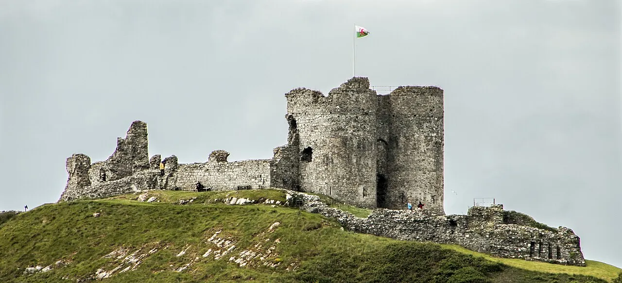
Criccieth Castle (Welsh: Castell Cricieth; Welsh pronunciation: [kastɛɬ ˈkrɪkjɛθ]) is a ruined thirteenth-century castle in Criccieth, Gwynedd, Wales. It is located on a rocky headland overlooking Tremadog Bay and consists of an inner ward almost surrounded by an outer ward. The twin-towered inner gatehouse is the most prominent remaining feature and survives to almost its full height, as does the inner curtain wall.
Source: Wikipedia · CC BY-SA 4.0
At a glance
- Built
- 1230
- Heritage designation
- Grade I listed building, scheduled monument, National Monument of Wales
- Official website
- cadw.gov.wales
Source: Wikidata
Photos of Criccieth Castle
-

Peter Trimming · CC BY-SA 2.0 -

Bill Harrison · CC BY-SA 2.0 -

TomGough · CC BY-SA 2.0 -

Hchc2009 · CC BY-SA 3.0 -

Tanya Dedyukhina · CC BY 3.0


Climate of Criccieth Castle
Best months for sightseeingBest months for sightseeing: June–September.
This month · November
A wet month
Day 11° · Night 6° · Rain 129 mm
- Hottest month
- July (day 19°)
- Coldest month
- February (night 3°)
- Wettest month
- November (129 mm)
- Driest month
- May (62 mm)
Bars: average monthly low and high temperature. Below: precipitation. Monthly averages for 1970–2000 at about 18 km resolution, adjusted for elevation. Highlighted months are mild and relatively dry. Source: WorldClim 2.1 (CC BY 4.0).
Show values as a table
| Month | Jan | Feb | Mar | Apr | May | Jun | Jul | Aug | Sep | Oct | Nov | Dec |
|---|---|---|---|---|---|---|---|---|---|---|---|---|
| Average high (°C) | 8° | 8° | 10° | 12° | 15° | 18° | 19° | 19° | 17° | 14° | 11° | 9° |
| Average low (°C) | 3° | 3° | 4° | 5° | 8° | 10° | 12° | 12° | 11° | 9° | 6° | 4° |
| Precipitation (mm) | 108 | 80 | 94 | 67 | 62 | 70 | 72 | 89 | 97 | 119 | 129 | 119 |
Other places to visit in this season: June July August September
How to get to Criccieth Castle
The nearest airport is Liverpool John Lennon Airport (LPL), 104 km to the northeast as the crow flies. The nearest large city is Birkenhead, 97 km to the northeast.
Airports
- Liverpool John Lennon Airport (LPL) Liverpool 104 kmnortheast
- Isle of Man Airport (IOM) Castletown, Rushen 132 kmnorth
- Manchester Airport (MAN) Manchester, Greater Manchester 139 kmeast
Nearby large cities
- Birkenhead Population: 325.3K 97 kmnortheast
- Liverpool Population: 496.8K 100 kmnortheast
- St Helens Population: 183.2K 117 kmnortheast
- Warrington Population: 172.3K 123 kmnortheast
- Telford Population: 155.6K 123 kmeast
Straight-line distances; road distances are longer. Airport data: OurAirports.
Day trips from Criccieth Castle
Within 100 km: 413 historic and cultural sites, 1,843 natural sites, 161 lakes, rivers and coasts.
0–25 km264 places
- Ynys Tywyn Island 7 kmE
- Saint Tudwals Island West Island 20 kmSW
- Saint Tudwals Islands Island 20 kmSW
- Saint Tudwals Island East Island 20 kmSW
25–60 km917 places
- Anglesey Island 41 kmN
- Whistling Sands Beach 34 kmW
- Traeth Penllech Beach 30 kmW
- Porth Towyn Beach Beach 27 kmW
60–100 km1,236 places
- Poppit Sands Beach 95 kmS
- Mwnt beach Beach 91 kmS
- Tresaith Beach Beach 89 kmS
- Llangrannog's Beach Beach 86 kmS
Straight-line distances.
Nearby attractions & nature
Everything nearby-
Criccieth Castle Mountain, Criccieth<0.1 km E
-
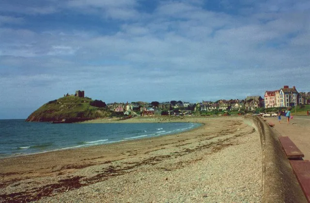 Criccieth Beach Beach, Criccieth0.4 km NE
-
Moel y Gadair Mountain, Dolbenmaen2.6 km NE
-
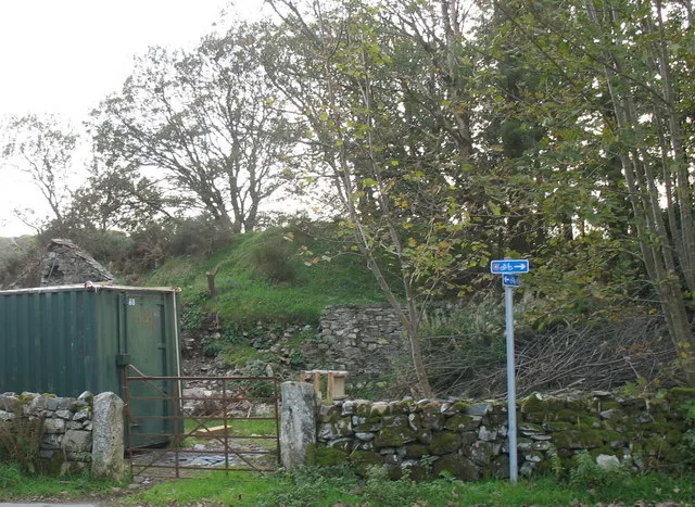 Dolbenmaen Castle Historic site, Dolbenmaen5.4 km N
-
Carreg yr Eryr Mountain, Porthmadog2.6 km E
-
Tomen Fawr Historic site, Llanystumdwy4.6 km W
-
Bryn Braich-y-saint Mountain, Dolbenmaen3.1 km NE
-
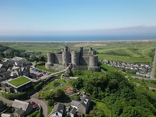 Harlech Castle Historic site, Harlech10 km SE
Nearest towns and villages
-
 Criccieth Village, Criccieth0.5 km N
-
Llanystumdwy Village, Llanystumdwy2.7 km W
-
Pentrefelin Village, Dolbenmaen3 km NE
-
Porthmadog Village, Porthmadog7 km E
Sources & licences
Data last updated: · 2 independent sources