- Elevation
- 36 m
- above sea level
- Airports
- CWL Cardiff International Airport139 km
- NQY Cornwall Airport Newquay159 km
About Gewni
Gewni is an island. Location: Solva, Pembrokeshire. The best months to visit are June–September. The nearest airport is Cardiff International Airport (139 km). Nearby sights include Green Scar and River Solva.
Climate of Gewni
Best months for sightseeingBest months for sightseeing: June–September.
This month · November
A wet month
Day 11° · Night 7° · Rain 109 mm
- Hottest month
- August (day 19°)
- Coldest month
- February (night 4°)
- Wettest month
- November (109 mm)
- Driest month
- May (54 mm)
Bars: average monthly low and high temperature. Below: precipitation. Monthly averages for 1970–2000 at about 18 km resolution, adjusted for elevation. Highlighted months are mild and relatively dry. Source: WorldClim 2.1 (CC BY 4.0).
Show values as a table
| Month | Jan | Feb | Mar | Apr | May | Jun | Jul | Aug | Sep | Oct | Nov | Dec |
|---|---|---|---|---|---|---|---|---|---|---|---|---|
| Average high (°C) | 8° | 8° | 10° | 12° | 14° | 17° | 19° | 19° | 17° | 14° | 11° | 9° |
| Average low (°C) | 4° | 4° | 5° | 6° | 8° | 11° | 13° | 13° | 12° | 9° | 7° | 5° |
| Precipitation (mm) | 98 | 74 | 72 | 56 | 54 | 59 | 56 | 78 | 76 | 105 | 109 | 101 |
Other places to visit in this season: June July August September
How to get to Gewni
The nearest airport is Cardiff International Airport (CWL), 139 km to the east as the crow flies. The nearest large city is Swansea, 91 km to the east.
Airports
- Cardiff International Airport (CWL) Cardiff 139 kmeast
- Cornwall Airport Newquay (NQY) Newquay 159 kmsouth
- Exeter International Airport (EXT) Exeter, Devon 177 kmsoutheast
Nearby large cities
- Swansea Population: 300.4K 91 kmeast
- Cardiff Population: 372.1K 146 kmeast
- Newport Population: 161.5K 155 kmeast
- Exeter Population: 130.7K 173 kmsoutheast
- Dublin Population: 1M 178 kmnorthwest
Straight-line distances; road distances are longer. Airport data: OurAirports.
Day trips from Gewni
Within 100 km: 258 historic and cultural sites, 589 natural sites, 110 lakes, rivers and coasts.
0–25 km179 places
- St Justinian Natural site 8 kmW
- Porth Clais Natural site 5 kmW
- Port Selau Natural site 7 kmW
- Caerfai Beach Beach 4 kmW
25–60 km235 places
- Poppit Sands Beach 44 kmNE
- Manorbier Beach Beach 37 kmSE
- Broad Haven South Beach Beach 35 kmSE
- Mwnt beach Beach 49 kmNE
60–100 km543 places
- Curracloe Beach Beach 98 kmNW
- Ynys Lochtyn Island 61 kmNE
- Worms Head Island 69 kmSE
- Rat Island Island 89 kmSE
Straight-line distances.
Nearest towns and villages
-
Solva Village, Solva0.8 km NE
-
Upper Solva Neighbourhood, Solva0.9 km N
-
Lower Solva Neighbourhood, Solva1.3 km NE
-
Whitchurch Village, Solva1.9 km N
-
Middle Mill Village, Solva2.4 km N
-
Nine Wells Village, St. David's and the Cathedral Close1.6 km NW
Nearby attractions & nature
Everything nearby-
Green Scar Island, Pembrokeshire0.9 km S
-
River Solva River, Pembrokeshire0.5 km NE
-
Castell Historic site, Solva1.4 km N
-
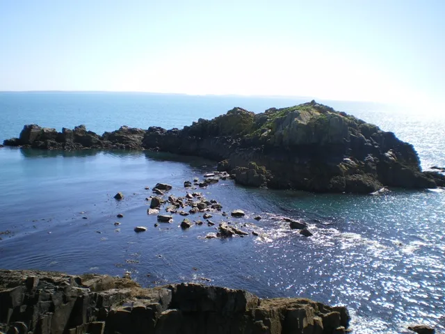 Penpleidiau Island, Pembrokeshire3.6 km W
-
Dinas Fach Island, Brawdy3 km E
-
Caerfai Beach Beach, St. David's and the Cathedral Close3.7 km W
-
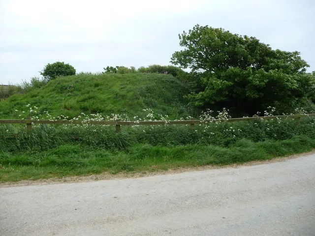 Pointz Castle Historic site, Brawdy3.3 km E
-
St Non's Bay Natural site, Wales4.5 km W
Sources & licences
Data last updated: