Rumpersdorf
Located in Weiden bei Rechnitz, Oberwart District Coordinates: 47°19′00″ N 16°20′00″ E
- Population
- 103
- 103
- Elevation
- 402 m
- above sea level
- Local time
- UTC+01:00
- Europe/Vienna · UTC+01:00
- Airports
- GRZ Graz Airport77 km
- VIE Vienna International Airport90 km
About Rumpersdorf
Rumpersdorf is a village. Location: Weiden bei Rechnitz, Oberwart District. Population: 103. Elevation: 402 m. The best months to visit are May–September. The nearest airport is Graz Airport (77 km). Nearby sights include Grosse Plischa and Kleine Plischa.
Photos of Rumpersdorf
-
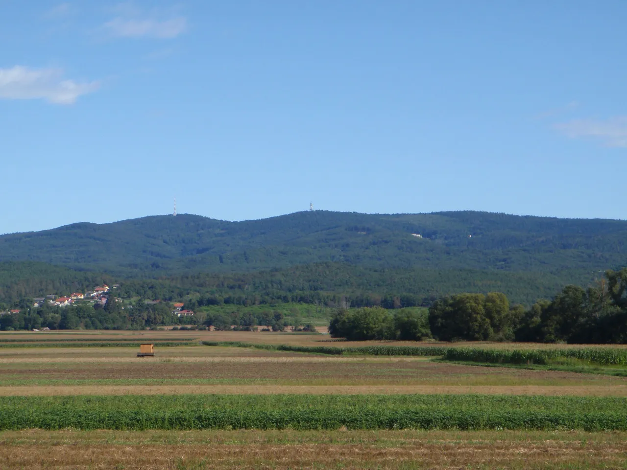
Großer Hirschenstein Pan Peter12 · CC BY-SA 4.0

Climate of Rumpersdorf
Best months for sightseeingBest months for sightseeing: May–September.
This month · November
A cold month
Day 7° · Night -1° · Rain 57 mm
- Hottest month
- July (day 24°)
- Coldest month
- January (night -5°)
- Wettest month
- June (98 mm)
- Driest month
- February (29 mm)
Bars: average monthly low and high temperature. Below: precipitation. Monthly averages for 1970–2000 at about 18 km resolution, adjusted for elevation. Highlighted months are mild and relatively dry. Source: WorldClim 2.1 (CC BY 4.0).
Show values as a table
| Month | Jan | Feb | Mar | Apr | May | Jun | Jul | Aug | Sep | Oct | Nov | Dec |
|---|---|---|---|---|---|---|---|---|---|---|---|---|
| Average high (°C) | 2° | 5° | 9° | 14° | 19° | 22° | 24° | 24° | 20° | 14° | 7° | 3° |
| Average low (°C) | -5° | -4° | -1° | 3° | 8° | 11° | 13° | 12° | 9° | 4° | -1° | -4° |
| Precipitation (mm) | 30 | 29 | 44 | 52 | 77 | 98 | 96 | 84 | 69 | 56 | 57 | 40 |
Other places to visit in this season: May June July August September
How to get to Rumpersdorf
The nearest airport is Graz Airport (GRZ), 77 km to the southwest as the crow flies. The nearest large city is Graz, 73 km to the west.
Airports
- Graz Airport (GRZ) Feldkirchen bei Graz 77 kmsouthwest
- Vienna International Airport (VIE) Vienna 90 kmnorth
- Hévíz–Balaton Airport (SOB) Sármellék 94 kmsoutheast
Nearby large cities
- Graz Population: 303.3K 73 kmwest
- Győr Population: 129.3K 106 kmnortheast
- Bratislava Population: 423.7K 109 kmnortheast
- Székesfehérvár Population: 101.6K 158 kmeast
- Zagreb Population: 663.6K 169 kmsouth
Straight-line distances; road distances are longer. Airport data: OurAirports.
Day trips from Rumpersdorf
Within 100 km: 438 historic and cultural sites, 1,109 natural sites, 393 lakes, rivers and coasts.
0–25 km46 places
- Zuberbach Mountain 6 kmS
- Tischlerberg Mountain 22 kmSW
- Niklasberg Mountain 17 kmN
- Lampelhöhe Mountain 18 kmN
25–60 km362 places
- Waldteiche Lake 58 kmSW
- St. Margarethener Seebad Lake 58 kmN
- Herrenstein Mountain 41 kmNW
- Granegg Mountain 58 kmW
60–100 km1,532 places
- Ledava River 96 kmS
- Ščavnica River 88 kmS
- Jezero Pernica Lake 93 kmSW
- Donauinsel Island 97 kmN
Straight-line distances.
Nearby attractions & nature
Everything nearby-
Grosse Plischa Mountain, Weiden bei Rechnitz2.3 km NE
-
Kleine Plischa Mountain, Unterkohlstätten3 km N
-
Großer Hirschenstein Mountain, Markt Neuhodis4.7 km NE
-
Hirschenstein Mountain, Lockenhaus5.1 km NE
-
ORF-Sender Hirschenstein Landmark, Markt Neuhodis4.7 km NE
-
Zuberbach Mountain, Weiden bei Rechnitz5.7 km S
Sources & licences
Data last updated: