Guggenberg
Located in Hermagor-Pressegger See, Politischer Bezirk Hermagor Coordinates: 46°38′00″ N 13°18′00″ E
- Population
- 26
- 26
- Elevation
- 1,090 m
- above sea level
- Local time
- UTC+01:00
- Europe/Vienna · UTC+01:00
- Airports
- KLU Klagenfurt Airport79 km
- TRS Trieste Airport90 km
About Guggenberg
Guggenberg is a village. Location: Hermagor-Pressegger See, Politischer Bezirk Hermagor. Population: 26. Elevation: 1,090 m. The best months to visit are June–August. The nearest airport is Klagenfurt Airport (79 km). Nearby sights include Rudnigbach and Kreutherhöhe.
Photos of Guggenberg
-
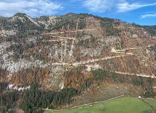
Mittagsnock Hangman'sDeath · CC0 -
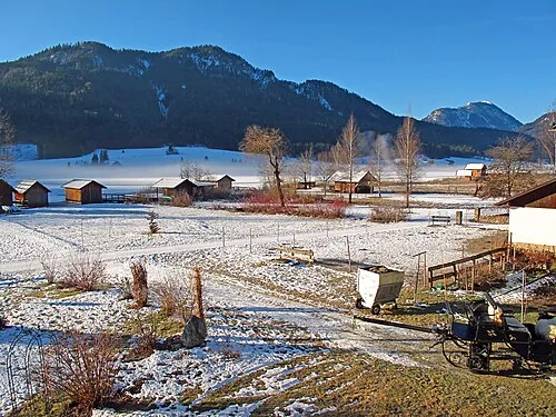
Hühnernock Joadl · CC BY-SA 3.0 at -
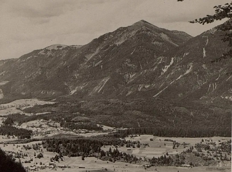
Golz K.u.k. Kriegspressequartier, Lichtbildstelle - Wien · Public domain


Climate of Guggenberg
Best months for sightseeingBest months for sightseeing: June–August.
This month · November
A wet month
Day 5° · Night -2° · Rain 136 mm
- Hottest month
- July (day 21°)
- Coldest month
- January (night -7°)
- Wettest month
- June (161 mm)
- Driest month
- February (64 mm)
Bars: average monthly low and high temperature. Below: precipitation. Monthly averages for 1970–2000 at about 18 km resolution, adjusted for elevation. Highlighted months are mild and relatively dry. Source: WorldClim 2.1 (CC BY 4.0).
Show values as a table
| Month | Jan | Feb | Mar | Apr | May | Jun | Jul | Aug | Sep | Oct | Nov | Dec |
|---|---|---|---|---|---|---|---|---|---|---|---|---|
| Average high (°C) | 1° | 3° | 6° | 10° | 15° | 19° | 21° | 21° | 17° | 12° | 5° | 2° |
| Average low (°C) | -7° | -6° | -3° | 0° | 5° | 8° | 11° | 11° | 7° | 3° | -2° | -5° |
| Precipitation (mm) | 76 | 64 | 91 | 121 | 140 | 161 | 161 | 144 | 147 | 151 | 136 | 96 |
How to get to Guggenberg
The nearest airport is Klagenfurt Airport (KLU), 79 km to the east as the crow flies. The nearest large city is Klagenfurt, 77 km to the east.
Airports
- Klagenfurt Airport (KLU) Klagenfurt am Wörthersee 79 kmeast
- Trieste Airport (TRS) Ronchi dei Legionari/Trieste 90 kmsouth
- Ljubljana Jože Pučnik Airport (LJU) Zgornji Brnik 100 kmsoutheast
Nearby large cities
- Klagenfurt Population: 100.3K 77 kmeast
- Ljubljana Population: 272.2K 113 kmsoutheast
- Salzburg Population: 157.2K 131 kmnorth
- Innsbruck Population: 132.5K 161 kmnorthwest
- Graz Population: 303.3K 170 kmeast
Straight-line distances; road distances are longer. Airport data: OurAirports.
Day trips from Guggenberg
Within 100 km: 186 historic and cultural sites, 2,900 natural sites, 695 lakes, rivers and coasts.
0–25 km182 places
- Weissensee Lake 9 kmNE
- Lake Pressegg Lake 11 kmE
- Farchtensee Lake 14 kmNE
- Egger Alpen See Lake 9 kmSE
25–60 km921 places
- Lake Bohinj Lake 58 kmSE
- Triglav Mountain 50 kmSE
- Rjavina Mountain 52 kmSE
- Prestreljenik Mountain 33 kmSE
60–100 km2,678 places
- Hoher Dachstein Mountain 96 kmN
- Lake Bled Lake 68 kmSE
- Porezen Mountain 73 kmSE
- Jelovica Mountain 74 kmSE
Straight-line distances.
Nearby attractions & nature
Everything nearby-
Rudnigbach River, Carinthia1.2 km S
-
Kreutherhöhe Mountain, Gitschtal3.5 km NW
-
Doberbach River, Carinthia2.6 km W
-
Schwarzwipfel Mountain, Hermagor-Pressegger See3.9 km S
-
Durchspring Mountain, Kirchbach4.3 km NW
-
Golz Mountain, Hermagor-Pressegger See6.8 km NE
Sources & licences
Data last updated: