Ferlach
Located in Politischer Bezirk Klagenfurt Land, Carinthia Coordinates: 46°29′48″ N 14°16′59″ E
- Population
- 7,174
- 7.2K
- Elevation
- 642 m
- above sea level
- Local time
- UTC+01:00
- Europe/Vienna · UTC+01:00
- Places inside
- 51
- listed under Ferlach
- Airports
- KLU Klagenfurt Airport17 km
- LJU Ljubljana Jože Pučnik Airport33 km
About Ferlach
Ferlach is a municipality. Location: Politischer Bezirk Klagenfurt Land, Carinthia. Population: 7,174. Elevation: 642 m. The best months to visit are June–August. The nearest airport is Klagenfurt Airport (17 km). Nearby sights include Goldenes Bründl and Tscheppaschlucht.
Photos of Ferlach
-
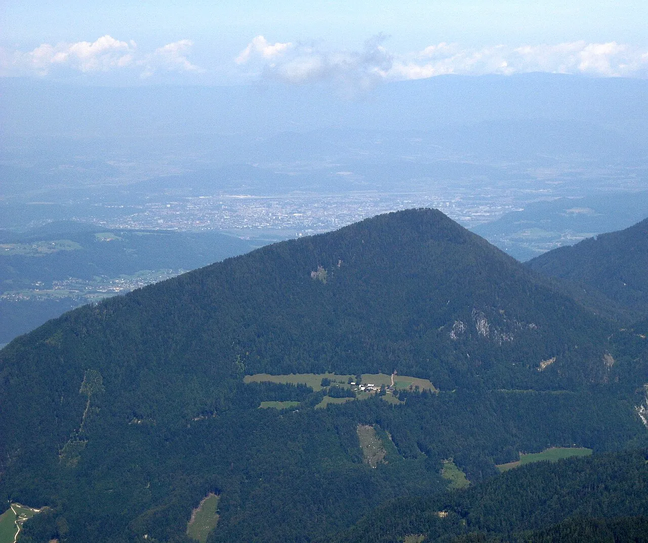
Sinacher Gupf Jensibua · CC0 -
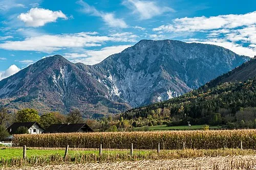
Kotla Johann Jaritz · CC BY-SA 4.0 -
Sinacher Gupf Jensibua · CC0 -
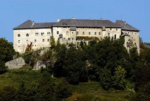
Schloss Hollenburg Johann Jaritz · CC BY-SA 4.0 -
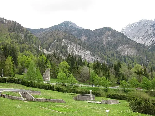
Loiblpaß Concentration Camp (Nord und Süd) Sl-Ziga · Public domain


Climate of Ferlach
Best months for sightseeingBest months for sightseeing: June–August.
This month · November
A wet month
Day 7° · Night 0° · Rain 182 mm
- Hottest month
- July (day 23°)
- Coldest month
- January (night -5°)
- Wettest month
- June (185 mm)
- Driest month
- February (83 mm)
Bars: average monthly low and high temperature. Below: precipitation. Monthly averages for 1970–2000 at about 18 km resolution, adjusted for elevation. Highlighted months are mild and relatively dry. Source: WorldClim 2.1 (CC BY 4.0).
Show values as a table
| Month | Jan | Feb | Mar | Apr | May | Jun | Jul | Aug | Sep | Oct | Nov | Dec |
|---|---|---|---|---|---|---|---|---|---|---|---|---|
| Average high (°C) | 3° | 5° | 8° | 11° | 17° | 21° | 23° | 23° | 19° | 14° | 7° | 3° |
| Average low (°C) | -5° | -4° | -2° | 2° | 7° | 10° | 12° | 12° | 9° | 5° | 0° | -4° |
| Precipitation (mm) | 95 | 83 | 119 | 152 | 153 | 185 | 164 | 150 | 164 | 179 | 182 | 127 |
How to get to Ferlach
The nearest airport is Klagenfurt Airport (KLU), 17 km to the north as the crow flies. The nearest large city is Klagenfurt, 14 km to the north.
Airports
- Klagenfurt Airport (KLU) Klagenfurt am Wörthersee 17 kmnorth
- Ljubljana Jože Pučnik Airport (LJU) Zgornji Brnik 33 kmsoutheast
- Trieste Airport (TRS) Ronchi dei Legionari/Trieste 97 kmsouthwest
Nearby large cities
- Klagenfurt Population: 100.3K 14 kmnorth
- Ljubljana Population: 272.2K 52 kmsouth
- Graz Population: 303.3K 109 kmnortheast
- Rijeka Population: 108K 131 kmsouth
- Zagreb Population: 663.6K 151 kmsoutheast
Straight-line distances; road distances are longer. Airport data: OurAirports.
Day trips from Ferlach
Within 100 km: 168 historic and cultural sites, 1,262 natural sites, 467 lakes, rivers and coasts.
0–25 km238 places
- Lake Bled Lake 21 kmSW
- Jelovica Mountain 25 kmSW
- Grintavec Mountain 25 kmSE
- Hochstuhl Mountain 11 kmSW
25–60 km486 places
- Lake Bohinj Lake 40 kmSW
- Triglav Mountain 37 kmW
- Šmarna gora Mountain 43 kmS
- Rjavina Mountain 33 kmW
60–100 km1,173 places
- Raša River 82 kmS
- Ribnica Lake Lake 76 kmE
- Prestreljenik Mountain 64 kmW
- Pohorje Mountain 91 kmE
Straight-line distances.
Places in Ferlach
51 places- 1 Ferlach 4.3K
- 2 Kappel an der Drau 298
- 3 Unter-Ferlach 297
- 4 Strau 261
- 5 Görtschach 248
- 6 Kirschentheuer 239
- 7 Unterloibl 196
- 8 Reßnig 182
- 9 Unterbergen 167
- 10 Bodental 134
- 11 Dornach 102
- 12 Windisch Bleiberg 95
- 13 Waidisch 81
- 14 Glainach 79
- 15 Otrouza 74
- 16 Seidolach 66
- 17 Tratten 57
- 18 Laak 47
- 19 Loibltal 42
- 20 Unterglainach 38
- 21 Dörfl 19
- 22 Laiplach 18
- 23 Jaklin 10
- 24 Strugarjach 10
- 25 Rauth 5
Bar: population relative to the most populous place in this list.
Cities & villages8
- Aunig · Village
- Bleiberger Graben · Village
- Oreinschnak · Village
- Pagitz · Village
- Pautz · Village
- Plösnoutz · Village
- Sankt Leonhard · Village
- Sapotnica · Village
Mountains & nature16
- Großer Rain · Mountain
- Halbing · Mountain
- Jauernik · Mountain
- Jauernikgupf · Mountain
- Kotla · Mountain
- Loibler Grintoutz · Mountain
- Loibler Prapotnik · Mountain
- Neuberg · Mountain
- Rabenberg · Mountain
- Rjautza · Mountain
- Rjava pec · Mountain
- Sechter · Mountain
- Sinacher Gupf · Mountain
- Sinacher Gupf · Mountain
- Singerberg · Mountain
- Zeller Grintoutz · Mountain
Heritage & sights2
- Loiblpaß Concentration Camp (Nord und Süd) · Historic site
- Teufelsbrücke · Landmark
Nearby attractions & nature
Everything nearby-
Goldenes Bründl Natural site, Carinthia0.9 km S
-
Tscheppaschlucht Natural site, Carinthia1.6 km SW
-
Tschaukofall Natural site, Carinthia1.7 km SW
-
Ferlacher Horn Mountain, Zell2.8 km SE
-
Bodenbach River, Carinthia2.5 km W
-
Schloss Hollenburg Historic site, Köttmannsdorf5.8 km N
-
Metschischgraben Natural site, Carinthia4.5 km SW
-
Kleiner Gerloutz Mountain, Zell4.1 km SE
Sources & licences
Data last updated: