Ludmannsdorf
Located in Politischer Bezirk Klagenfurt Land, Carinthia Coordinates: 46°32′54″ N 14°08′49″ E
- Population
- 1,802
- 1.8K
- Elevation
- 588 m
- above sea level
- Local time
- UTC+01:00
- Europe/Vienna · UTC+01:00
- Places inside
- 17
- listed under Ludmannsdorf
- Airports
- KLU Klagenfurt Airport18 km
- LJU Ljubljana Jože Pučnik Airport43 km
About Ludmannsdorf
Ludmannsdorf is a municipality. Location: Politischer Bezirk Klagenfurt Land, Carinthia. Population: 1,802. Elevation: 588 m.
Ludmannsdorf (Slovene: Bilčovs) is a town in the district of Klagenfurt-Land in the Austrian state of Carinthia.
Source: Wikipedia · CC BY-SA 4.0
Photos of Ludmannsdorf
-
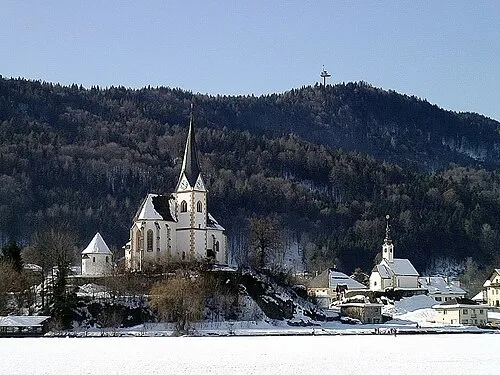
Pyramidenkogel Johann Jaritz · CC BY-SA 3.0 at -
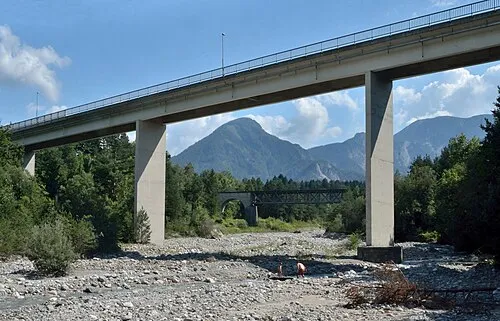
Matschacher Gupf Herzi Pinki · CC BY-SA 4.0 -
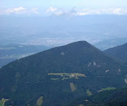
Sinacher Gupf Jensibua · CC0 -
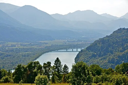
Rosental Johann Jaritz · CC BY-SA 4.0


Climate of Ludmannsdorf
Best months for sightseeingBest months for sightseeing: June–September.
This month · November
A wet month
Day 6° · Night -1° · Rain 129 mm
- Hottest month
- July (day 24°)
- Coldest month
- January (night -7°)
- Wettest month
- July (143 mm)
- Driest month
- February (57 mm)
Bars: average monthly low and high temperature. Below: precipitation. Monthly averages for 1970–2000 at about 18 km resolution, adjusted for elevation. Highlighted months are mild and relatively dry. Source: WorldClim 2.1 (CC BY 4.0).
Show values as a table
| Month | Jan | Feb | Mar | Apr | May | Jun | Jul | Aug | Sep | Oct | Nov | Dec |
|---|---|---|---|---|---|---|---|---|---|---|---|---|
| Average high (°C) | 1° | 4° | 9° | 13° | 18° | 22° | 24° | 24° | 19° | 13° | 6° | 2° |
| Average low (°C) | -7° | -6° | -2° | 2° | 7° | 10° | 12° | 12° | 8° | 4° | -1° | -5° |
| Precipitation (mm) | 61 | 57 | 83 | 104 | 113 | 142 | 143 | 125 | 126 | 133 | 129 | 83 |
Other places to visit in this season: June July August September
How to get to Ludmannsdorf
The nearest airport is Klagenfurt Airport (KLU), 18 km to the northeast as the crow flies. The nearest large city is Klagenfurt, 15 km to the northeast.
Airports
- Klagenfurt Airport (KLU) Klagenfurt am Wörthersee 18 kmnortheast
- Ljubljana Jože Pučnik Airport (LJU) Zgornji Brnik 43 kmsoutheast
- Trieste Airport (TRS) Ronchi dei Legionari/Trieste 96 kmsouthwest
Nearby large cities
- Klagenfurt Population: 100.3K 15 kmnortheast
- Ljubljana Population: 272.2K 62 kmsoutheast
- Graz Population: 303.3K 114 kmnortheast
- Rijeka Population: 108K 138 kmsouth
- Salzburg Population: 157.2K 162 kmnorthwest
Straight-line distances; road distances are longer. Airport data: OurAirports.
Day trips from Ludmannsdorf
Within 100 km: 168 historic and cultural sites, 1,539 natural sites, 544 lakes, rivers and coasts.
0–25 km225 places
- Lake Bled Lake 21 kmS
- Hochstuhl Mountain 13 kmS
- Vintgar Mountain 17 kmS
- Begunjščica Mountain 16 kmSE
25–60 km604 places
- Lake Bohinj Lake 37 kmSW
- Triglav Mountain 30 kmSW
- Šmarna gora Mountain 53 kmSE
- Rjavina Mountain 27 kmSW
60–100 km1,422 places
- Raša River 84 kmS
- Ribnica Lake Lake 86 kmE
- Hrušica Mountain 78 kmS
- Mala Gora Mountain 98 kmSE
Straight-line distances.
Places in Ludmannsdorf
17 places- 1 Ludmannsdorf 179
- 2 Pugrad 177
- 3 Edling 174
- 4 Franzendorf 162
- 5 Oberdörfl 133
- 6 Lukowitz 120
- 7 Bach 90
- 8 Spodnja Vesca 74
- 9 Großkleinberg 67
- 10 Fellersdorf 52
- 11 Rupertiberg 47
- 12 Moschenitzen 37
Bar: population relative to the most populous place in this list.
Cities & villages3
- Neusaß · Village
- Sankt Margarethen · Village
- Wettersdorf · Village
Mountains & nature1
- Tanzboden · Mountain
Heritage & sights1
- Sankt Helena · Attraction
Nearby attractions & nature
Everything nearby-
Sabalahöhe Mountain, Keutschach am See2 km N
-
Feistritzer Stausee Lake, Carinthia1.7 km S
-
Rosental Natural site, Carinthia2.8 km E
-
Feistritzbach River, Carinthia2.6 km SE
-
Turiawald Natural site, Carinthia3.1 km NW
-
Kleiner Dürrenbach River, Carinthia2.9 km SW
-
Großer Dürrenbach River, Carinthia4 km SW
-
Hafnersee Lake, Carinthia4 km N
Sources & licences
Data last updated: · 2 independent sources