Grafenstein
Located in Politischer Bezirk Klagenfurt Land, Carinthia Coordinates: 46°36′45″ N 14°28′31″ E
- Population
- 2,890
- 2.9K
- Elevation
- 413 m
- above sea level
- Local time
- UTC+01:00
- Europe/Vienna · UTC+01:00
- Places inside
- 34
- listed under Grafenstein
- Airports
- KLU Klagenfurt Airport11 km
- LJU Ljubljana Jože Pučnik Airport43 km
About Grafenstein
Grafenstein is a municipality. Location: Politischer Bezirk Klagenfurt Land, Carinthia. Population: 2,890. Elevation: 413 m. The best months to visit are May–September. The nearest airport is Klagenfurt Airport (11 km). Nearby sights include Glan and Vellach.
Climate of Grafenstein
Best months for sightseeingBest months for sightseeing: May–September.
This month · November
A wet month
Day 7° · Night 0° · Rain 115 mm
- Hottest month
- July (day 25°)
- Coldest month
- January (night -6°)
- Wettest month
- June (139 mm)
- Driest month
- January (51 mm)
Bars: average monthly low and high temperature. Below: precipitation. Monthly averages for 1970–2000 at about 18 km resolution, adjusted for elevation. Highlighted months are mild and relatively dry. Source: WorldClim 2.1 (CC BY 4.0).
Show values as a table
| Month | Jan | Feb | Mar | Apr | May | Jun | Jul | Aug | Sep | Oct | Nov | Dec |
|---|---|---|---|---|---|---|---|---|---|---|---|---|
| Average high (°C) | 2° | 5° | 10° | 14° | 20° | 23° | 25° | 25° | 20° | 14° | 7° | 2° |
| Average low (°C) | -6° | -5° | -1° | 3° | 8° | 11° | 13° | 13° | 9° | 5° | 0° | -4° |
| Precipitation (mm) | 51 | 51 | 74 | 95 | 101 | 139 | 138 | 120 | 114 | 118 | 115 | 75 |
Other places to visit in this season: May June July August September
How to get to Grafenstein
The nearest airport is Klagenfurt Airport (KLU), 11 km to the west as the crow flies. The nearest large city is Klagenfurt, 13 km to the west.
Airports
- Klagenfurt Airport (KLU) Klagenfurt am Wörthersee 11 kmwest
- Ljubljana Jože Pučnik Airport (LJU) Zgornji Brnik 43 kmsouth
- Graz Airport (GRZ) Feldkirchen bei Graz 85 kmnortheast
Nearby large cities
- Klagenfurt Population: 100.3K 13 kmwest
- Ljubljana Population: 272.2K 62 kmsouth
- Graz Population: 303.3K 89 kmnortheast
- Rijeka Population: 108K 143 kmsouth
- Zagreb Population: 663.6K 146 kmsoutheast
Straight-line distances; road distances are longer. Airport data: OurAirports.
Day trips from Grafenstein
Within 100 km: 218 historic and cultural sites, 1,499 natural sites, 579 lakes, rivers and coasts.
0–25 km246 places
- Karawanken Mountain 22 kmS
- Lake Turner Lake 8 kmE
- Längsee Lake 20 kmN
- Lake Klopein Lake 9 kmE
25–60 km544 places
- Lake Bohinj Lake 60 kmSW
- Lake Bled Lake 40 kmSW
- Triglav Mountain 56 kmSW
- Šmarna gora Mountain 54 kmS
60–100 km1,506 places
- Raša River 100 kmSW
- Ribnica Lake Lake 62 kmE
- Prestreljenik Mountain 82 kmW
- Porezen Mountain 62 kmSW
Straight-line distances.
Places in Grafenstein
34 places- 1 Grafenstein 989
- 2 Pirk 269
- 3 Schulterndorf 182
- 4 Althofen 121
- 5 Dolina 117
- 6 Froschendorf 107
- 7 Truttendorf 98
- 8 Haidach 96
- 9 Wölfnitz 88
- 10 Replach 77
- 11 Tainacherfeld 74
- 12 Sankt Peter 69
- 13 Klein Venedig 66
- 14 Gumisch 59
- 15 Saager 57
- 16 Lind 55
- 17 Unterwuchl 39
- 18 Thon 34
- 19 Hum 30
- 20 Münzendorf 27
- 21 Skarbin 25
- 22 Zapfendorf 23
- 23 Unterfischern 20
- 24 Sand 19
- 25 Sabuatach 16
- 26 Oberfischern 15
- 27 Oberwuchl 12
- 28 Werda 10
- 29 Mieger 8
- 30 Pakein 4
Bar: population relative to the most populous place in this list.
Cities & villages2
- Lassein · Village
- Sankt Johann · Village
Heritage & sights2
- Schloss Pakein · Historic site
- Schloss Rain · Historic site
Nearby attractions & nature
Everything nearby-
Glan River, Carinthia3 km E
-
Vellach River, Carinthia3.3 km S
-
Gurk River, Carinthia3.8 km E
-
Draubrücke Stein Landmark, Sankt Kanzian am Klopeiner See4.3 km E
-
NDB-Funkfeuer KFT Landmark, Völkermarkt4.7 km E
-
Wildensteiner Bach River, Carinthia5.1 km S
-
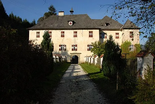 Töllerberg Historic site, Völkermarkt9.2 km NE
-
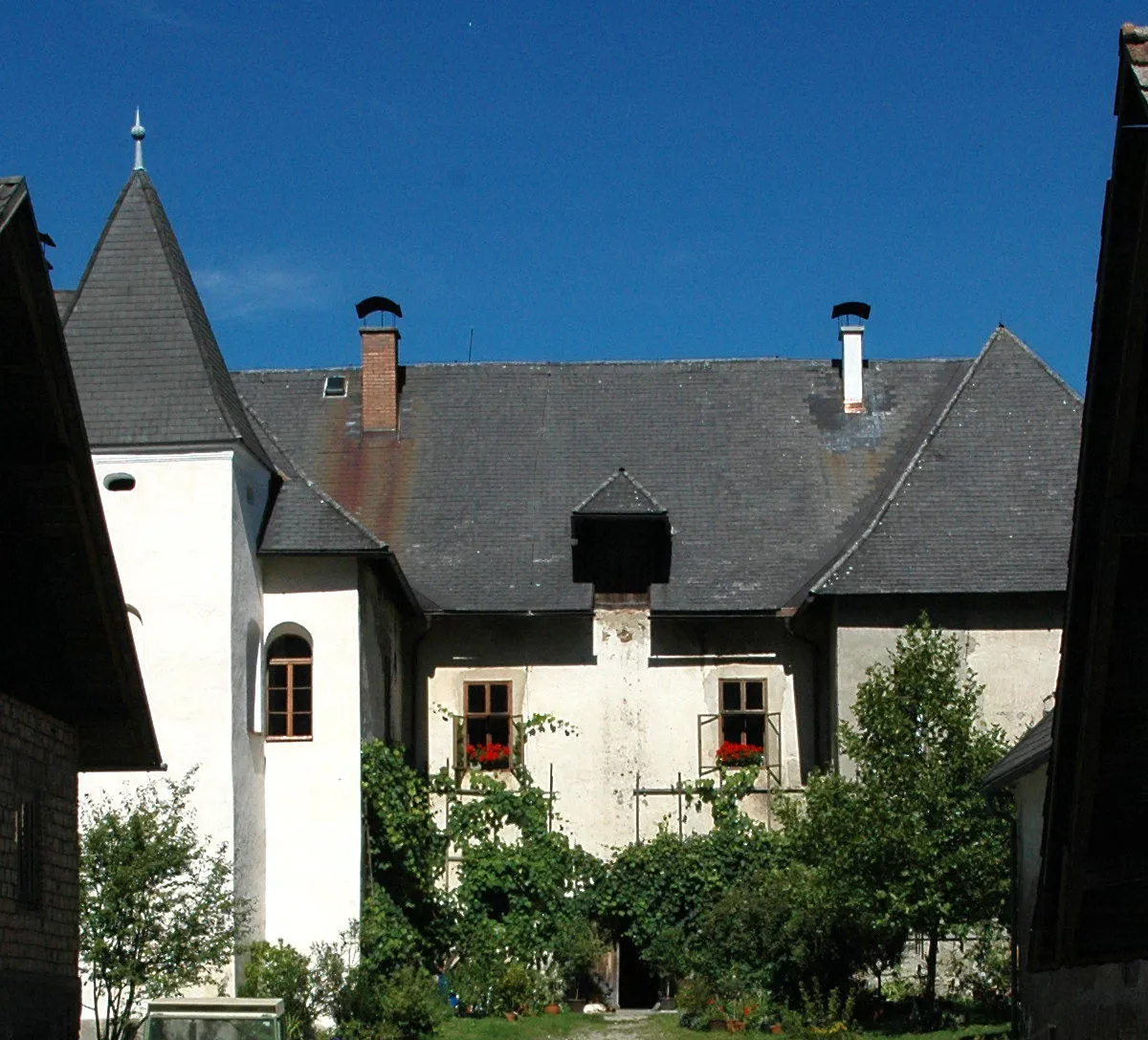 Frankenstein Historic site, Völkermarkt9.7 km NE
Sources & licences
Data last updated: