Goppelsberg
Located in Berg im Drautal, Spittal an der Drau District Coordinates: 46°45′00″ N 13°07′00″ E
- Population
- 44
- 44
- Elevation
- 803 m
- above sea level
- Local time
- UTC+01:00
- Europe/Vienna · UTC+01:00
- Airports
- KLU Klagenfurt Airport94 km
- TRS Trieste Airport106 km
About Goppelsberg
Goppelsberg is a village. Location: Berg im Drautal, Spittal an der Drau District. Population: 44. Elevation: 803 m. The best months to visit are June–September. The nearest airport is Klagenfurt Airport (94 km). Nearby sights include Feistritz Bach and Berger Bach.
Photos of Goppelsberg
-
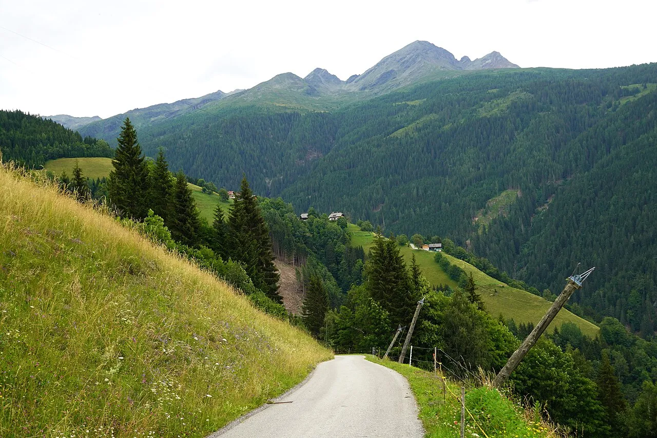
Scharnik Naturpuur · CC BY 4.0 -
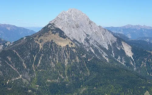
Reisskofel Carsten Steger · CC BY-SA 4.0 -
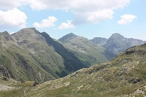
Plattachkopf Mefusbren69 · Public domain -
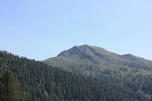
Knotenberg Mefusbren69 · Public domain -
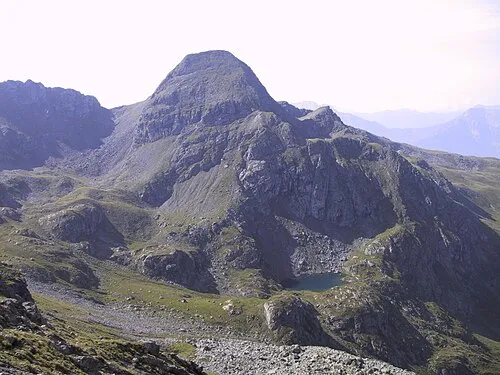
Hochtristen Ich · CC BY-SA 3.0


Climate of Goppelsberg
Best months for sightseeingBest months for sightseeing: June–September.
This month · November
A wet month
Day 8° · Night 0° · Rain 117 mm
- Hottest month
- July (day 23°)
- Coldest month
- January (night -4°)
- Wettest month
- July (163 mm)
- Driest month
- February (62 mm)
Bars: average monthly low and high temperature. Below: precipitation. Monthly averages for 1970–2000 at about 18 km resolution, adjusted for elevation. Highlighted months are mild and relatively dry. Source: WorldClim 2.1 (CC BY 4.0).
Show values as a table
| Month | Jan | Feb | Mar | Apr | May | Jun | Jul | Aug | Sep | Oct | Nov | Dec |
|---|---|---|---|---|---|---|---|---|---|---|---|---|
| Average high (°C) | 4° | 5° | 8° | 12° | 17° | 20° | 23° | 22° | 19° | 14° | 8° | 4° |
| Average low (°C) | -4° | -3° | -1° | 2° | 7° | 11° | 13° | 13° | 9° | 5° | 0° | -3° |
| Precipitation (mm) | 69 | 62 | 86 | 109 | 129 | 155 | 163 | 147 | 132 | 129 | 117 | 85 |
Other places to visit in this season: June July August September
How to get to Goppelsberg
The nearest airport is Klagenfurt Airport (KLU), 94 km to the east as the crow flies. The nearest large city is Klagenfurt, 92 km to the east.
Airports
- Klagenfurt Airport (KLU) Klagenfurt am Wörthersee 94 kmeast
- Trieste Airport (TRS) Ronchi dei Legionari/Trieste 106 kmsouth
- Salzburg Airport (SZG) Salzburg 116 kmnorth
Nearby large cities
- Klagenfurt Population: 100.3K 92 kmeast
- Salzburg Population: 157.2K 117 kmnorth
- Ljubljana Population: 272.2K 132 kmsoutheast
- Innsbruck Population: 132.5K 143 kmnorthwest
- Graz Population: 303.3K 181 kmeast
Straight-line distances; road distances are longer. Airport data: OurAirports.
Day trips from Goppelsberg
Within 100 km: 176 historic and cultural sites, 3,438 natural sites, 735 lakes, rivers and coasts.
0–25 km220 places
- Wolayersee Lake 24 kmSW
- Weissensee Lake 19 kmE
- Striedensee Lake 15 kmN
- Gössnitzersee Lake 19 kmN
25–60 km1,407 places
- Prestreljenik Mountain 51 kmSE
- Vršič Mountain 60 kmSE
- Planica Natural site 56 kmSE
- Sille River 52 kmW
60–100 km2,722 places
- Hoher Dachstein Mountain 89 kmNE
- Lake Bohinj Lake 77 kmSE
- Lake Bled Lake 87 kmSE
- Triglav Mountain 69 kmSE
Straight-line distances.
Nearby attractions & nature
Everything nearby-
Feistritz Bach River, Carinthia0.9 km S
-
Berger Bach River, Carinthia1.3 km SE
-
Knotenberg Mountain, Dellach im Drautal3.7 km N
-
Mokarspitze Mountain, Irschen5.6 km NW
-
Reisskofel Mountain, Greifenburg7.5 km S
-
Hochtristen Mountain, Greifenburg6.5 km N
Sources & licences
Data last updated: