Kuchl
Located in Hallein District, State of Salzburg Coordinates: 47°37′08″ N 13°07′55″ E
- Population
- 7,274
- 7.3K
- Elevation
- 672 m
- above sea level
- Local time
- UTC+01:00
- Europe/Vienna · UTC+01:00
- Places inside
- 10
- listed under Kuchl
- Airports
- SZG Salzburg Airport22 km
- LNZ Linz-Hörsching Airport105 km
About Kuchl
Kuchl is a municipality. Location: Hallein District, State of Salzburg. Population: 7,274. Elevation: 672 m. The best months to visit are June–September. The nearest airport is Salzburg Airport (22 km). Nearby sights include Sankt Nikolaus and Hinteres Freieck.
Photos of Kuchl
-
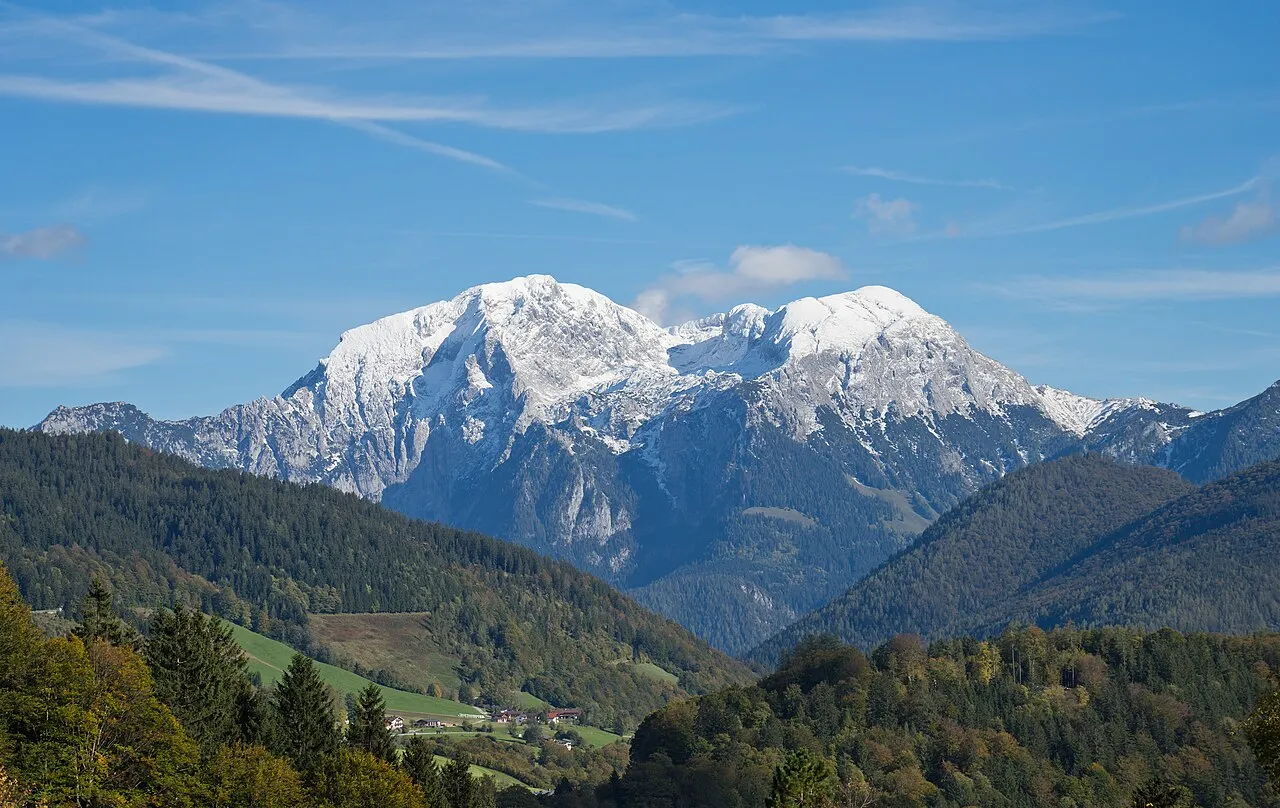
Hoher Göll Jörg Braukmamm · CC BY-SA 4.0 -
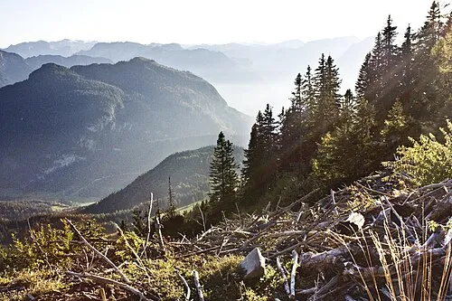
Schwarzer Berg Horst Michael Lechner · CC BY-SA 3.0 -
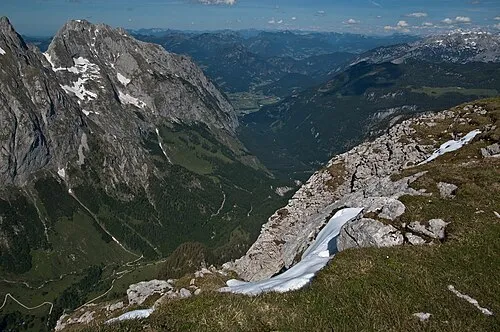
Hinteres Freieck Alupus · CC BY-SA 3.0 -
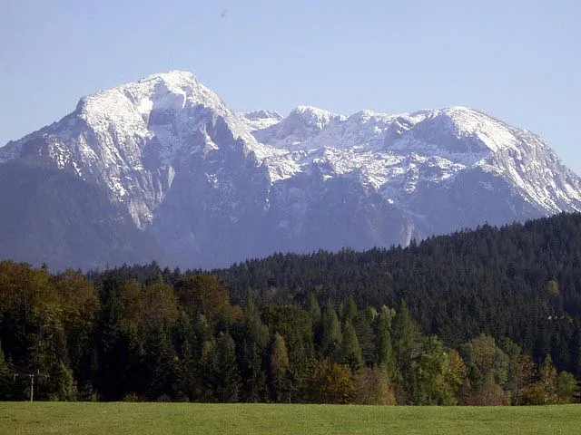
Großer Archenkopf Lobob · CC BY-SA 3.0 -
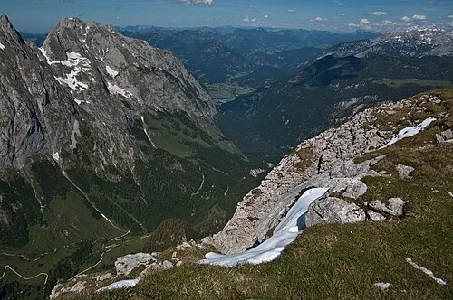
Bluntautal Alupus · CC BY-SA 3.0


Climate of Kuchl
Best months for sightseeingBest months for sightseeing: June–September.
This month · November
A wet month
Day 8° · Night 1° · Rain 102 mm
- Hottest month
- July (day 22°)
- Coldest month
- January (night -3°)
- Wettest month
- July (190 mm)
- Driest month
- February (77 mm)
Bars: average monthly low and high temperature. Below: precipitation. Monthly averages for 1970–2000 at about 18 km resolution, adjusted for elevation. Highlighted months are mild and relatively dry. Source: WorldClim 2.1 (CC BY 4.0).
Show values as a table
| Month | Jan | Feb | Mar | Apr | May | Jun | Jul | Aug | Sep | Oct | Nov | Dec |
|---|---|---|---|---|---|---|---|---|---|---|---|---|
| Average high (°C) | 4° | 5° | 8° | 11° | 17° | 19° | 22° | 22° | 18° | 14° | 8° | 5° |
| Average low (°C) | -3° | -2° | 0° | 3° | 8° | 11° | 13° | 13° | 10° | 6° | 1° | -1° |
| Precipitation (mm) | 86 | 77 | 99 | 102 | 125 | 173 | 190 | 168 | 121 | 93 | 102 | 102 |
Other places to visit in this season: June July August September
How to get to Kuchl
The nearest airport is Salzburg Airport (SZG), 22 km to the northwest as the crow flies. The nearest large city is Salzburg, 21 km to the north.
Airports
- Salzburg Airport (SZG) Salzburg 22 kmnorthwest
- Linz-Hörsching Airport (LNZ) Linz 105 kmnortheast
- Munich Airport (MUC) Munich 129 kmnorthwest
Nearby large cities
- Salzburg Population: 157.2K 21 kmnorth
- Linz Population: 204.8K 115 kmnortheast
- Munich Population: 1.5M 130 kmnorthwest
- Innsbruck Population: 132.5K 137 kmwest
- Klagenfurt Population: 100.3K 142 kmsoutheast
Straight-line distances; road distances are longer. Airport data: OurAirports.
Day trips from Kuchl
Within 100 km: 270 historic and cultural sites, 3,775 natural sites, 1,150 lakes, rivers and coasts.
0–25 km481 places
- Wiestalstausee Lake 15 kmN
- Seewaldsee Lake 10 kmE
- Hintersee Lake 17 kmNE
- Lake Fuschl Lake 23 kmNE
25–60 km1,820 places
- Hoher Dachstein Mountain 39 kmSE
- Seeriessee Lake 55 kmSE
- Untersee Lake 46 kmSE
- Wildsee Lake 58 kmSE
60–100 km2,894 places
- Frauenchiemsee Island 60 kmNW
- Herreninsel Island 61 kmNW
- Klamm Natural site 90 kmE
- Fürlegsee Lake 67 kmSW
Straight-line distances.
Places in Kuchl
10 places- 1 Kuchl 1.9K
- 2 Georgenberg 1.8K
- 3 Garnei 939
- 4 Kellau 723
- 5 Jadorf 554
- 6 Weissenbach 440
- 7 Unterlangenberg 403
- 8 Moos 397
- 9 Gasteig 126
Bar: population relative to the most populous place in this list.
Mountains & nature1
- Kleiner Göll · Mountain
Nearby attractions & nature
Everything nearby-
Sankt Nikolaus Attraction, Golling an der Salzach2.5 km SE
-
Hinteres Freieck Mountain, Golling an der Salzach4.6 km SW
-
Vorderes Freieck Mountain, Golling an der Salzach4.1 km S
-
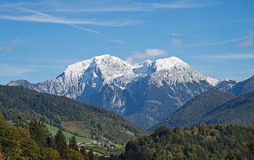 Hoher Göll Mountain, Schönau am Königssee5.6 km SW
-
Ahornbüchsenkopf Mountain, Austria3.8 km W
-
Torrenerbach River, State of Salzburg3.4 km SE
-
Zinkenkopf Mountain, Austria4 km NW
-
Tauglbach River, State of Salzburg3.6 km N
Sources & licences
Data last updated: