Brandham
Located in Berg im Attergau, Vöcklabruck District Coordinates: 47°57′55″ N 13°31′01″ E
- Population
- 32
- 32
- Elevation
- 555 m
- above sea level
- Local time
- UTC+01:00
- Europe/Vienna · UTC+01:00
- Airports
- SZG Salzburg Airport43 km
- LNZ Linz-Hörsching Airport58 km
About Brandham
Brandham is a village. Location: Berg im Attergau, Vöcklabruck District. Population: 32. Elevation: 555 m. The best months to visit are May–September. The nearest airport is Salzburg Airport (43 km). Nearby sights include Buchberg and Redl Zipf Concentration Camp (Schlier).
Climate of Brandham
Best months for sightseeingBest months for sightseeing: May–September.
This month · November
A wet month
Day 6° · Night 0° · Rain 103 mm
- Hottest month
- July (day 22°)
- Coldest month
- January (night -4°)
- Wettest month
- July (175 mm)
- Driest month
- February (79 mm)
Bars: average monthly low and high temperature. Below: precipitation. Monthly averages for 1970–2000 at about 18 km resolution, adjusted for elevation. Highlighted months are mild and relatively dry. Source: WorldClim 2.1 (CC BY 4.0).
Show values as a table
| Month | Jan | Feb | Mar | Apr | May | Jun | Jul | Aug | Sep | Oct | Nov | Dec |
|---|---|---|---|---|---|---|---|---|---|---|---|---|
| Average high (°C) | 2° | 4° | 8° | 12° | 18° | 20° | 22° | 22° | 18° | 13° | 6° | 3° |
| Average low (°C) | -4° | -4° | -1° | 3° | 7° | 10° | 12° | 12° | 9° | 5° | 0° | -3° |
| Precipitation (mm) | 90 | 79 | 101 | 96 | 110 | 154 | 175 | 150 | 111 | 90 | 103 | 105 |
Other places to visit in this season: May June July August September
How to get to Brandham
The nearest airport is Salzburg Airport (SZG), 43 km to the southwest as the crow flies. The nearest large city is Salzburg, 40 km to the southwest.
Airports
- Salzburg Airport (SZG) Salzburg 43 kmsouthwest
- Linz-Hörsching Airport (LNZ) Linz 58 kmnortheast
- České Budějovice South Bohemian Airport (JCL) České Budějovice 128 kmnortheast
Nearby large cities
- Salzburg Population: 157.2K 40 kmsouthwest
- Linz Population: 204.8K 69 kmnortheast
- Munich Population: 1.5M 146 kmwest
- Regensburg Population: 151.4K 157 kmnorthwest
- Klagenfurt Population: 100.3K 161 kmsouth
Straight-line distances; road distances are longer. Airport data: OurAirports.
Nearby attractions & nature
Everything nearby-
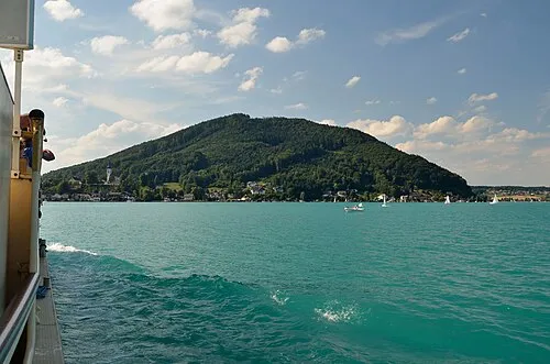 Buchberg Mountain, St Georgen im Attergau4.3 km S
-
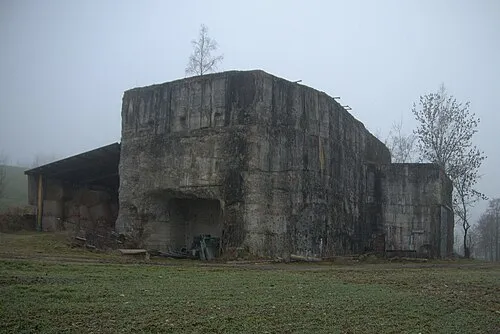 Redl Zipf Concentration Camp (Schlier) Historic site, Neukirchen an der Vöckla7.5 km N
-
Redl Bach River, Upper Austria5.4 km NW
-
Gahberg Mountain, Weyregg am Attersee7.9 km SE
-
Lenzing Concentration Camp Historic site, Lenzing7 km E
-
Lichtenberg Mountain, Straß im Attergau7.5 km SW
Sources & licences
Data last updated: