Schweizer Straße
Located in Hohenems, Politischer Bezirk Dornbirn Coordinates: 47°22′16″ N 9°40′53″ E
- Elevation
- 413 m
- above sea level
- Local time
- UTC+01:00
- Europe/Vienna · UTC+01:00
- Airports
- ACH Sankt Gallen Altenrhein Airport16 km
- FDH Bodensee Airport Friedrichshafen36 km
About Schweizer Straße
Schweizer Straße is a neighbourhood. Location: Hohenems, Politischer Bezirk Dornbirn. The best months to visit are May–September. The nearest airport is Sankt Gallen Altenrhein Airport (16 km). Nearby sights include Jewish quarter in Hohenems and Jewish Museum Hohenems, Heimann-Rosenthal Villa.
Photos of Schweizer Straße
-
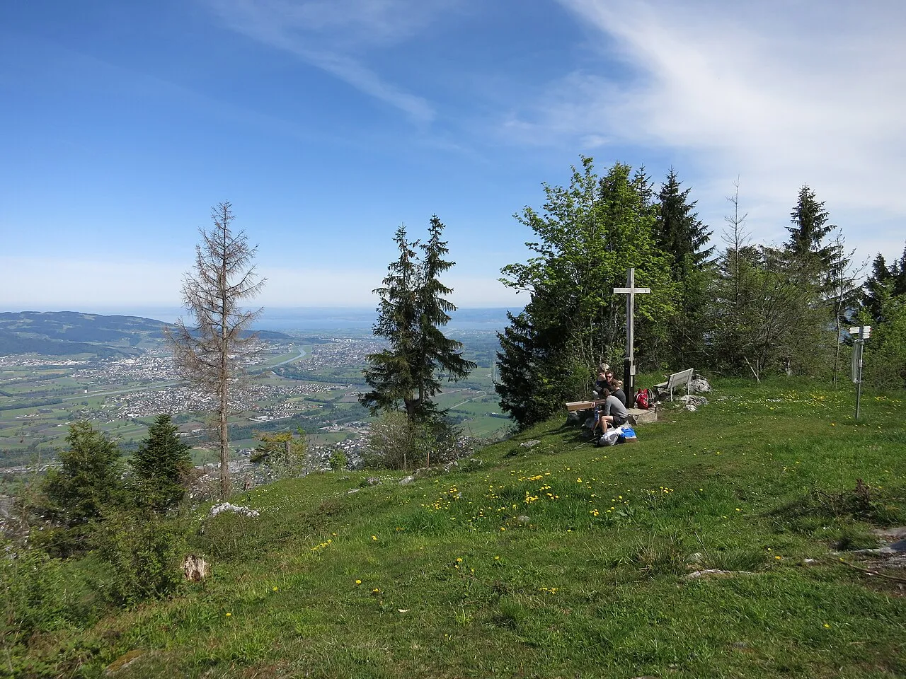
Kapf Ramessos · CC BY-SA 4.0 -
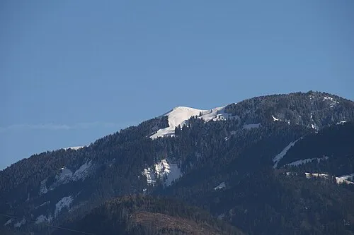
Hohe Kugel böhringer friedrich · CC BY-SA 2.5 -
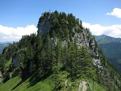
Bocksberg Ramessos · CC BY-SA 4.0 -
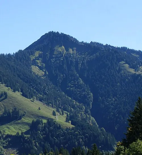
Alpkopf Asurnipal · CC BY-SA 4.0 -
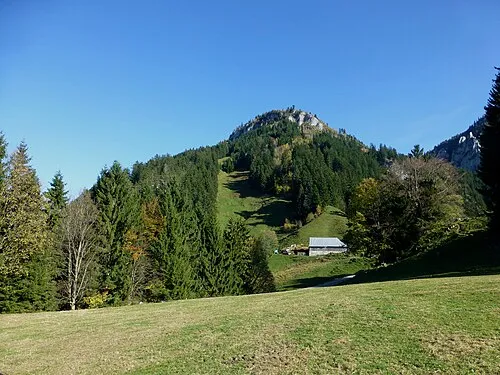
Schwarzenberg Reinhard Müller · CC BY-SA 3.0


Climate of Schweizer Straße
Best months for sightseeingBest months for sightseeing: May–September.
This month · November
A wet month
Day 9° · Night 2° · Rain 114 mm
- Hottest month
- July (day 24°)
- Coldest month
- January (night -2°)
- Wettest month
- July (179 mm)
- Driest month
- January (83 mm)
Bars: average monthly low and high temperature. Below: precipitation. Monthly averages for 1970–2000 at about 18 km resolution, adjusted for elevation. Highlighted months are mild and relatively dry. Source: WorldClim 2.1 (CC BY 4.0).
Show values as a table
| Month | Jan | Feb | Mar | Apr | May | Jun | Jul | Aug | Sep | Oct | Nov | Dec |
|---|---|---|---|---|---|---|---|---|---|---|---|---|
| Average high (°C) | 5° | 6° | 10° | 13° | 19° | 21° | 24° | 23° | 20° | 14° | 9° | 6° |
| Average low (°C) | -2° | -1° | 2° | 5° | 9° | 12° | 14° | 14° | 11° | 7° | 2° | 0° |
| Precipitation (mm) | 83 | 86 | 91 | 113 | 131 | 174 | 179 | 165 | 128 | 99 | 114 | 97 |
Other places to visit in this season: May June July August September
How to get to Schweizer Straße
The nearest airport is Sankt Gallen Altenrhein Airport (ACH), 16 km to the northwest as the crow flies. For international flights: Bodensee Airport Friedrichshafen (FDH) (36 km). The nearest large city is Winterthur, 74 km to the west.
Airports
- Sankt Gallen Altenrhein Airport (ACH) St. Gallen 16 kmnorthwest
- Bodensee Airport Friedrichshafen (FDH) Friedrichshafen 36 kmnorth
- Memmingen Allgau Airport (FMM) Memmingen 80 kmnortheast
Nearby large cities
- Winterthur Population: 111.8K 74 kmwest
- Zurich Population: 415.4K 85 kmwest
- Ulm Population: 120.5K 117 kmnorth
- Reutlingen Population: 112.6K 130 kmnorth
- Innsbruck Population: 132.5K 130 kmeast
Straight-line distances; road distances are longer. Airport data: OurAirports.
Day trips from Schweizer Straße
Within 100 km: 451 historic and cultural sites, 5,609 natural sites, 1,221 lakes, rivers and coasts.
0–25 km446 places
- Weiher Diepoldsau Lake 1 kmNW
- Alter Rhein Lake 3 kmW
- Wenigerweiher Lake 21 kmW
- Nollen Lake 3 kmNW
25–60 km2,409 places
- Mainau Island 52 kmNW
- Dominikanerinsel Konstanz Island 50 kmNW
- Walensee Lake 46 kmSW
- Obersee Lake 60 kmSW
60–100 km4,426 places
- Fahr Abbey Attraction 94 kmW
- Strandbad Steckborn Beach 62 kmNW
- Ufenau Island 70 kmW
- Insel Lützelau Island 69 kmW
Straight-line distances.
Nearby attractions & nature
Everything nearby-
Jewish quarter in Hohenems Historic site, Hohenems0.8 km SE
-
Jewish Museum Hohenems, Heimann-Rosenthal Villa Museum, Hohenems0.9 km SE
-
Museum auf Zeit Museum, Hohenems0.9 km SE
-
Pfarrkirche St. Karl Borromäus Attraction, Hohenems1.1 km SE
-
Palast Hohenems Historic site, Hohenems1.2 km SE
-
Weiher Diepoldsau Lake, Diepoldsau1.5 km NW
Sources & licences
Data last updated: