- Elevation
- 564 m
- above sea level
- Local time
- UTC+01:00
- Europe/Zagreb · UTC+01:00
- Airports
- ZAD Zadar Airport70 km
- RJK Rijeka Airport80 km
About Krš
Krš is a village. Location: Lika-Senj County, Croatia. Elevation: 564 m. The best months to visit are June–August. The nearest airport is Zadar Airport (70 km). Nearby sights include Kruščičko Jezero and Progon.
Climate of Krš
Best months for sightseeingBest months for sightseeing: June–August.
Bars: average monthly low and high temperature. Below: precipitation. Monthly averages for 1970–2000 at about 18 km resolution, adjusted for elevation. Highlighted months are mild and relatively dry. Source: WorldClim 2.1 (CC BY 4.0).
Show values as a table
| Month | Jan | Feb | Mar | Apr | May | Jun | Jul | Aug | Sep | Oct | Nov | Dec |
|---|---|---|---|---|---|---|---|---|---|---|---|---|
| Average high (°C) | 4° | 5° | 9° | 13° | 18° | 22° | 25° | 25° | 20° | 15° | 9° | 5° |
| Average low (°C) | -3° | -3° | 0° | 4° | 8° | 11° | 13° | 12° | 9° | 5° | 1° | -2° |
| Precipitation (mm) | 97 | 96 | 98 | 109 | 97 | 99 | 64 | 84 | 131 | 151 | 169 | 134 |
Airports nearest to Krš
- Zadar Airport (ZAD) Zadar 70 km
- Rijeka Airport (RJK) Rijeka(Omišalj) 80 km
- Pula Airport (PUY) Pula 112 km
Straight-line distance; airports with scheduled flights only. Source: OurAirports (public domain).
Nearby attractions & nature
Everything nearby-
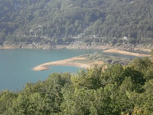 Kruščičko Jezero Lake, Lika-Senj County6.7 km SW
-
Progon Mountain, Lika-Senj County12 km S
-
Kotlina Natural site, Croatia13 km NW
-
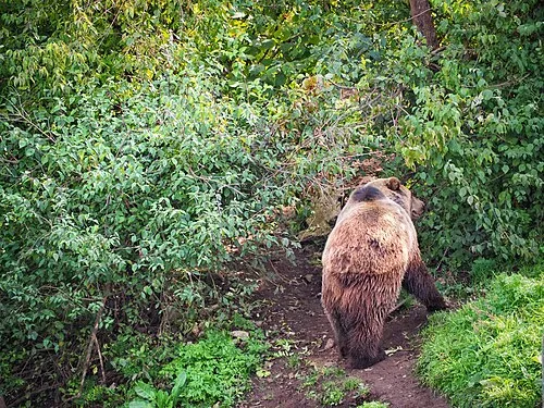 Štirovača Natural site, Lika-Senj County22 km W
-
Veliki Kozjak Mountain, Lika-Senj County23 km W
-
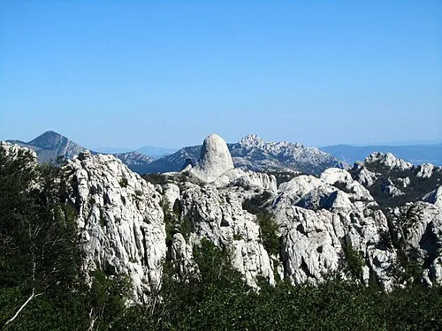 Velebit Mountain, Croatia23 km S
Sources & licences
Data last updated: