Kosa Janjačka
Located in Municipality of Perušić, Lika-Senj County Coordinates: 44°42′40″ N 15°26′14″ E
- Population
- 69
- 69
- Elevation
- 705 m
- above sea level
- Local time
- UTC+01:00
- Europe/Zagreb · UTC+01:00
- Airports
- ZAD Zadar Airport69 km
- RJK Rijeka Airport88 km
About Kosa Janjačka
Kosa Janjačka is a village. Location: Municipality of Perušić, Lika-Senj County. Population: 69. Elevation: 705 m.
Kosa Janjačka is a village in Perušić, Croatia. The population as of 2011 is 98.
Source: Wikipedia · CC BY-SA 4.0
At a glance
- Area
- 60.6 km²
Source: Wikidata
Climate of Kosa Janjačka
Best months for sightseeingBest months for sightseeing: June–August.
This month · November
A wet month
Day 8° · Night 0° · Rain 169 mm
- Hottest month
- July (day 24°)
- Coldest month
- January (night -5°)
- Wettest month
- November (169 mm)
- Driest month
- July (69 mm)
Bars: average monthly low and high temperature. Below: precipitation. Monthly averages for 1970–2000 at about 18 km resolution, adjusted for elevation. Highlighted months are mild and relatively dry. Source: WorldClim 2.1 (CC BY 4.0).
Show values as a table
| Month | Jan | Feb | Mar | Apr | May | Jun | Jul | Aug | Sep | Oct | Nov | Dec |
|---|---|---|---|---|---|---|---|---|---|---|---|---|
| Average high (°C) | 3° | 4° | 8° | 12° | 18° | 21° | 24° | 24° | 19° | 14° | 8° | 4° |
| Average low (°C) | -5° | -4° | -1° | 3° | 7° | 10° | 11° | 11° | 8° | 4° | 0° | -4° |
| Precipitation (mm) | 96 | 98 | 101 | 112 | 100 | 101 | 69 | 87 | 130 | 148 | 169 | 135 |
How to get to Kosa Janjačka
The nearest airport is Zadar Airport (ZAD), 69 km to the south as the crow flies. The nearest large city is Rijeka, 104 km to the northwest.
Airports
- Zadar Airport (ZAD) Zadar 69 kmsouth
- Rijeka Airport (RJK) Rijeka(Omišalj) 88 kmnorthwest
- Pula Airport (PUY) Pula 122 kmwest
Nearby large cities
- Rijeka Population: 108K 104 kmnorthwest
- Zagreb Population: 663.6K 130 kmnorth
- Split Population: 149.8K 156 kmsoutheast
- Ljubljana Population: 272.2K 166 kmnorthwest
- Klagenfurt Population: 100.3K 230 kmnorth
Straight-line distances; road distances are longer. Airport data: OurAirports.
Day trips from Kosa Janjačka
Within 100 km: 6 historic and cultural sites, 27 natural sites, 64 lakes, rivers and coasts.
0–25 km6 places
- Progon Mountain 13 kmSW
- Kotlina Natural site 20 kmNW
- Plitvice Lakes National Park Natural site 24 kmNE
- Kruščičko Jezero Lake 14 kmW
25–60 km26 places
- Birovača Mountain 43 kmE
- Omsica Mountain 55 kmSE
- Rab Island 53 kmW
- Otočić Mišjak Island 50 kmSW
60–100 km65 places
- Krk Island 76 kmNW
- Lošinj Island 84 kmW
- Uvala Stipanja Natural site 78 kmNW
- Silba Island 69 kmSW
Straight-line distances.
Nearby attractions & nature
Everything nearby-
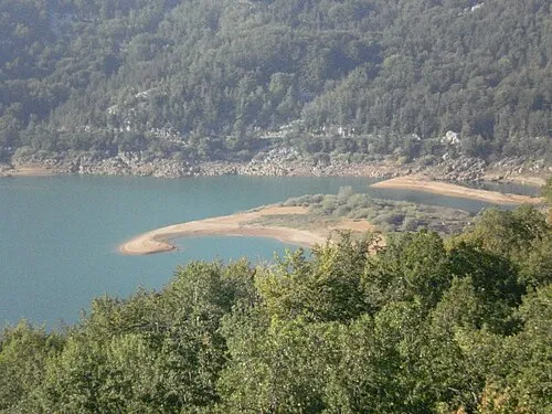 Kruščičko Jezero Lake, Lika-Senj County14 km W
-
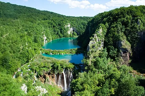 Plitvice Lakes National Park Natural site, Lika-Senj County21 km NE
-
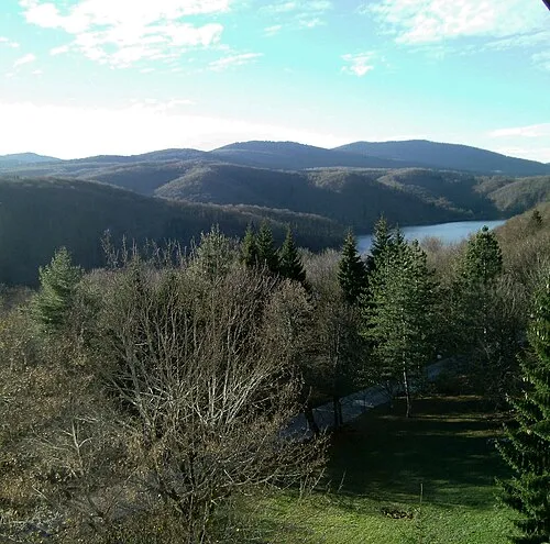 Mala Kapela Mountain, Croatia22 km N
-
Progon Mountain, Lika-Senj County13 km SW
-
Plitvice Lakes National Park Natural site, Lika-Senj County24 km NE
-
Kotlina Natural site, Croatia20 km NW
Other cities and towns in Municipality of Perušić
-
 Gornji Kosinj Village, Municipality of Perušić13 km W
-
 Kaluđerovac Village, Municipality of Perušić12 km SW
-
Donji Kosinj Village, Municipality of Perušić15 km W
-
Lipovo Polje Village, Municipality of Perušić17 km W
Sources & licences
Data last updated: · 2 independent sources