- Elevation
- 0 m
- above sea level
- Local time
- UTC+01:00
- Europe/Zagreb · UTC+01:00
- Airports
- OMO Mostar International Airport43 km
- BWK Brač Airport69 km
About Neretva
Neretva is a river. Location: Croatia.
The Neretva (pronounced [něreːtʋa]), also known as Narenta, is one of the largest rivers of the eastern part of the Adriatic basin. Four hydroelectric power plants with large dams (higher than 15 metres) provide flood protection, electricity and water storage. The Neretva is recognized for its natural environment and diverse landscapes. Freshwater ecosystems have suffered from an increasing population and the associated development pressures.
Read more on Wikipedia Text: Wikipedia contributors · CC BY-SA 4.0 · shortened
At a glance
- Heritage designation
- Ramsar site
- Length
- 225 km
Source: Wikidata
Climate of Neretva
Best months for sightseeingBest months for sightseeing: April–May, September–October.
Bars: average monthly low and high temperature. Below: precipitation. Monthly averages for 1970–2000 at about 18 km resolution, adjusted for elevation. Highlighted months are mild and relatively dry. Source: WorldClim 2.1 (CC BY 4.0).
Show values as a table
| Month | Jan | Feb | Mar | Apr | May | Jun | Jul | Aug | Sep | Oct | Nov | Dec |
|---|---|---|---|---|---|---|---|---|---|---|---|---|
| Average high (°C) | 11° | 12° | 15° | 19° | 25° | 29° | 32° | 32° | 26° | 21° | 16° | 12° |
| Average low (°C) | 4° | 5° | 8° | 11° | 16° | 19° | 22° | 21° | 17° | 13° | 9° | 5° |
| Precipitation (mm) | 92 | 82 | 82 | 79 | 62 | 52 | 37 | 51 | 75 | 104 | 120 | 105 |
Other places to visit in this season: April May September October
Airports nearest to Neretva
- Mostar International Airport (OMO) Mostar 43 km
- Brač Airport (BWK) Gornji Humac 69 km
- Dubrovnik Ruđer Bošković Airport (DBV) Dubrovnik 84 km
Straight-line distance; airports with scheduled flights only. Source: OurAirports (public domain).
Nearest towns and villages
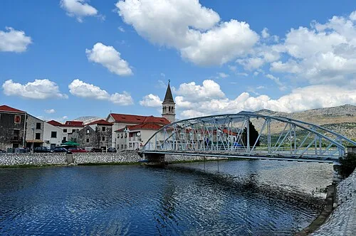
Nearby attractions & nature
Everything nearby-
Baćinska Jezera Lake, Dubrovnik-Neretva County6.7 km NW
-
 Pelješac Natural site, Croatia12 km S
-
Mislina River, Croatia13 km E
-
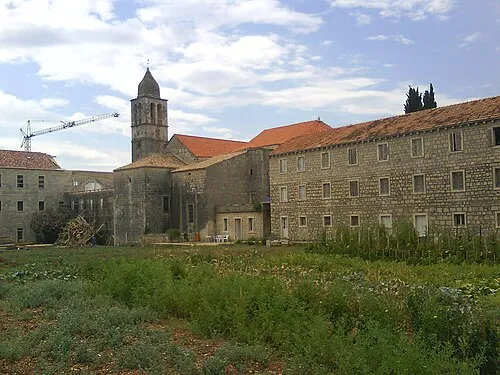 Otok Badija Island, Dubrovnik-Neretva County25 km W
-
Pelješac Bridge Landmark, Dubrovnik-Neretva County12 km SE
More lakes, rivers and coasts in Croatia
-
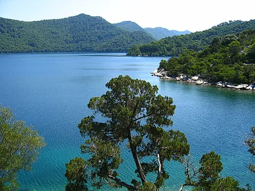 Mljet Island, Dubrovnik-Neretva County32 km S
-
Otočić Olipa Island, Dubrovnik-Neretva County39 km SE
-
Mišnjak Island, Dubrovnik-Neretva County43 km SE
-
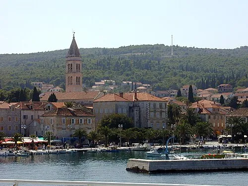 Brač Island, Split-Dalmatia County74 km NW
-
Tajan Island, Dubrovnik-Neretva County41 km SE
-
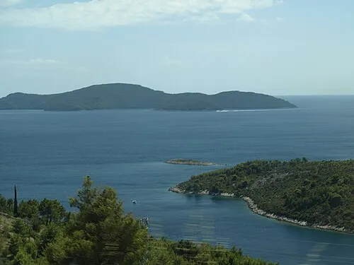 Otok Jakljan Island, Dubrovnik-Neretva County43 km SE
Sources & licences
Data last updated: · 2 independent sources