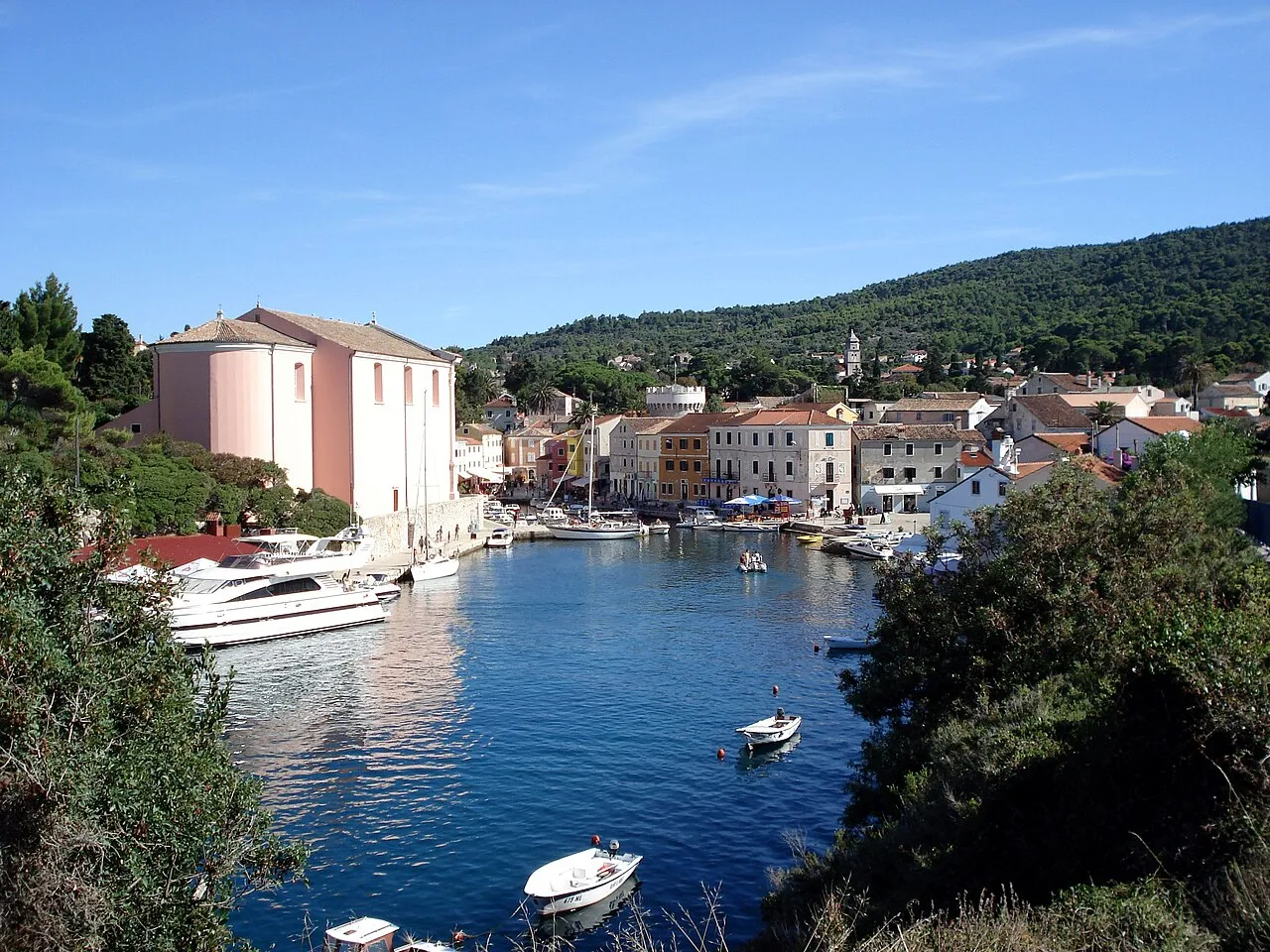
- Elevation
- 48 m
- above sea level
- Local time
- UTC+01:00
- Europe/Zagreb · UTC+01:00
- Population
- 9,587
- 9.6K
- Airports
- PUY Pula Airport51 km
- RJK Rijeka Airport71 km
About Lošinj
Lošinj is an island. Location: Primorje-Gorski Kotar County, Croatia. Population: 9,587.
Lošinj (pronounced [lɔ̌ʃiːɲ]; Italian: Lussino; Venetian: Lusin, earlier Osero; German: Lötzing; Latin: Apsorrus; Ancient Greek: Ἄψωρος) is a Croatian island in the northern Adriatic Sea, in the Kvarner Gulf. It is almost due south of the city of Rijeka and part of the Primorje-Gorski Kotar County. The settlements on Lošinj include Nerezine, Sveti Jakov, Ćunski, Artatore, Mali Lošinj and Veli Lošinj.
Source: Wikipedia · CC BY-SA 4.0
At a glance
- Length
- 33 km
- Area
- 74.4 km²
Source: Wikidata
Photos of Lošinj
-

United Kingdom Hydrographic Office · Public domain -

Falk2 · CC BY-SA 4.0 -

Falk2 · CC BY-SA 4.0 -

Juraj Patekar · CC BY 2.0 -

Fritz Lach · Public domain


Travel notes for Lošinj
From Wikivoyage
Lošinj is an island in the Kvarner region of Croatia with a surface area of 128,5 km2 and about 10,000 inhabitants.
The island has around 2600 hours of sunshine a year. For this reason the island has become a popular summer destination for Slovenian, German and Italian tourists.
Get in+
By car:
The island is connected with the island of Cres by a moveable bridge.
1 Osorski most (Moveable bridge in Osor). The bridge is opened every day at 09:00 and 17:00 to let the boats through. (updated Nov 2016)
There is another moveable bridge at the only road which connects Mali Lošinj and Veli Lošinj with the northern part of the island and hence the island of Cres.
2 Most Privlaka (Privlaka) (just at the north of Mali Lošinj at the locality of Privlaka). The bridge is opened every day at 09:00 and 18:00. (updated Nov 2016)
Source: Wikivoyage · CC BY-SA 4.0 · abridged
Climate of Lošinj
Best months for sightseeingBest months for sightseeing: May–June, September.
This month · November
A wet month
Day 14° · Night 9° · Rain 119 mm
- Hottest month
- July (day 29°)
- Coldest month
- January (night 5°)
- Wettest month
- November (119 mm)
- Driest month
- July (36 mm)
Bars: average monthly low and high temperature. Below: precipitation. Monthly averages for 1970–2000 at about 18 km resolution, adjusted for elevation. Highlighted months are mild and relatively dry. Source: WorldClim 2.1 (CC BY 4.0).
Show values as a table
| Month | Jan | Feb | Mar | Apr | May | Jun | Jul | Aug | Sep | Oct | Nov | Dec |
|---|---|---|---|---|---|---|---|---|---|---|---|---|
| Average high (°C) | 10° | 11° | 13° | 17° | 22° | 26° | 29° | 29° | 24° | 20° | 14° | 11° |
| Average low (°C) | 5° | 5° | 7° | 10° | 15° | 19° | 21° | 21° | 16° | 13° | 9° | 6° |
| Precipitation (mm) | 78 | 64 | 63 | 65 | 61 | 64 | 36 | 60 | 98 | 116 | 119 | 94 |
How to get to Lošinj
The nearest airport is Pula Airport (PUY), 51 km to the northwest as the crow flies. The nearest large city is Rijeka, 82 km to the north.
Airports
- Pula Airport (PUY) Pula 51 kmnorthwest
- Rijeka Airport (RJK) Rijeka(Omišalj) 71 kmnorth
- Zadar Airport (ZAD) Zadar 94 kmsoutheast
Nearby large cities
- Rijeka Population: 108K 82 kmnorth
- Ljubljana Population: 272.2K 163 kmnorth
- Zagreb Population: 663.6K 185 kmnortheast
- Split Population: 149.8K 203 kmsoutheast
- Klagenfurt Population: 100.3K 227 kmnorth
Straight-line distances; road distances are longer. Airport data: OurAirports.
Day trips from Lošinj
Within 100 km: 5 historic and cultural sites, 26 natural sites, 46 lakes, rivers and coasts.
0–25 km8 places
- Otok Ilovik Island 19 kmSE
- Otočić Srakane Vele Island 7 kmW
- Cres Island 23 kmN
- Otok Zeča Island 22 kmN
25–60 km25 places
- Krk Island 57 kmN
- Silba Island 33 kmSE
- Otok Premuda Island 34 kmSE
- Otočić Košljun Island 52 kmN
60–100 km44 places
- Uvala Stipanja Natural site 66 kmN
- Otok Sestrunj Island 66 kmSE
- Otok Žverinac Island 63 kmSE
- Otočić Ošljak Island 86 kmSE
Straight-line distances.
Nearest towns and villages
-
Čunski Village, Town of Mali Lošinj0.8 km E
-
Sveti Jakov Village, Town of Mali Lošinj6 km N
-
 Mali Lošinj City, Town of Mali Lošinj8.4 km SE
-
Nerezine Village, Town of Mali Lošinj7.9 km N
-
Vele Srakane Village, Town of Mali Lošinj6.6 km W
-
Veli Losinj Village, Town of Mali Lošinj11 km SE
Nearby attractions & nature
Everything nearby-
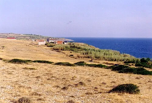 Otočić Srakane Vele Island, Primorje-Gorski Kotar County6.8 km W
-
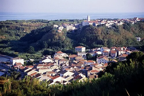 Otok Susak Island, Primorje-Gorski Kotar County11 km SW
-
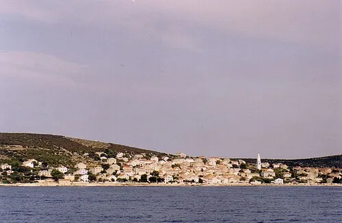 Otok Unije Island, Primorje-Gorski Kotar County14 km NW
-
 Otočić Veli Orjul Island, Primorje-Gorski Kotar County16 km SE
-
 Otok Ilovik Island, Primorje-Gorski Kotar County19 km SE
-
 Otočić Sveti Petar Island, Primorje-Gorski Kotar County18 km SE
-
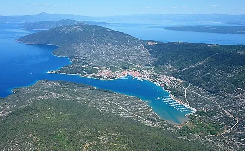 Cres Island, Primorje-Gorski Kotar County23 km N
-
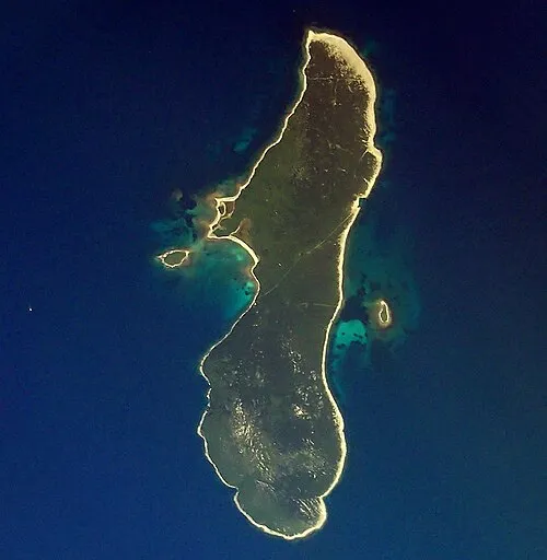 Otok Zeča Island, Primorje-Gorski Kotar County22 km N
More lakes, rivers and coasts in Croatia
-
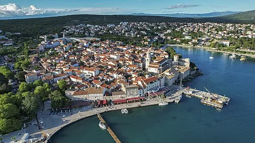 Krk Island, Primorje-Gorski Kotar County57 km N
-
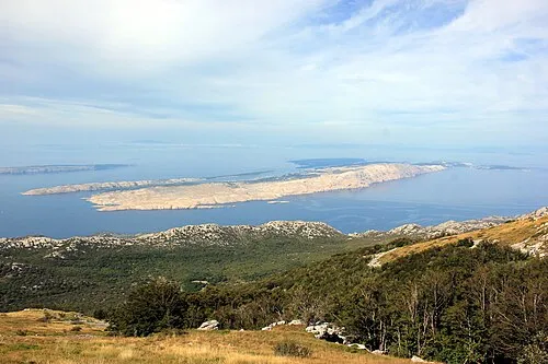 Rab Island, Primorje-Gorski Kotar County36 km NE
-
 Otok Dolin Island, Primorje-Gorski Kotar County36 km E
-
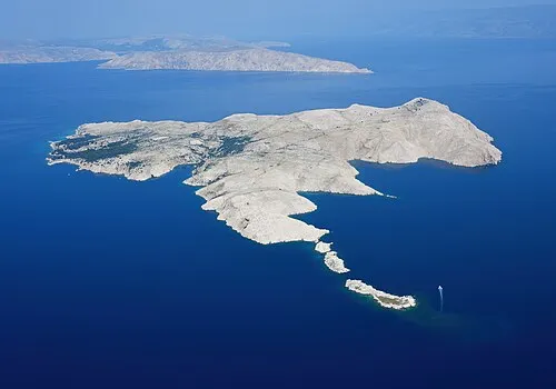 Goli otok Island, Primorje-Gorski Kotar County44 km NE
-
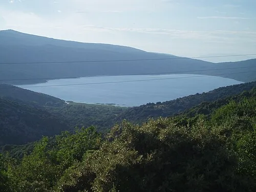 Lake Vrana Lake, Primorje-Gorski Kotar County30 km N
-
 Otok Sveti Grgur Island, Primorje-Gorski Kotar County43 km NE
Sources & licences
Data last updated: · 2 independent sources