Otočić Sveti Petar
Located in Primorje-Gorski Kotar County, Croatia Coordinates: 44°27′57″ N 14°33′10″ E

- Elevation
- 2 m
- above sea level
- Local time
- UTC+01:00
- Europe/Zagreb · UTC+01:00
- Airports
- PUY Pula Airport69 km
- ZAD Zadar Airport76 km
About Otočić Sveti Petar
Otočić Sveti Petar is an island. Location: Primorje-Gorski Kotar County, Croatia.
Sveti Petar is an uninhabited Croatian island in the Adriatic Sea located east of Ilovik. Its area is 0.96 km2 (0.37 sq mi). On the island are the remains of Benedictine Monastery, which belonged to the former abbey on the island of Susak. Nowadays, there is the cemetery where inhabitants of Ilovik bury their dead. In the history, Sveti Petar served as a quarantine on the way to Venice, from this era, the ship berths and the remains of the administration building are still visible.
Source: Wikipedia · CC BY-SA 4.0
At a glance
- Area
- 9.5 km²
Source: Wikidata
Photos of Otočić Sveti Petar
-

Otok Ilovik Darko Tepert Donatus · CC BY-SA 2.5 -

Otočić Veli Orjul Darko Tepert Donatus · CC BY-SA 2.5


Climate of Otočić Sveti Petar
Best months for sightseeingBest months for sightseeing: May–June, September.
This month · November
A wet month
Day 15° · Night 10° · Rain 114 mm
- Hottest month
- July (day 29°)
- Coldest month
- February (night 6°)
- Wettest month
- November (114 mm)
- Driest month
- July (33 mm)
Bars: average monthly low and high temperature. Below: precipitation. Monthly averages for 1970–2000 at about 18 km resolution, adjusted for elevation. Highlighted months are mild and relatively dry. Source: WorldClim 2.1 (CC BY 4.0).
Show values as a table
| Month | Jan | Feb | Mar | Apr | May | Jun | Jul | Aug | Sep | Oct | Nov | Dec |
|---|---|---|---|---|---|---|---|---|---|---|---|---|
| Average high (°C) | 11° | 11° | 14° | 17° | 22° | 27° | 29° | 29° | 24° | 20° | 15° | 12° |
| Average low (°C) | 6° | 6° | 7° | 10° | 15° | 19° | 21° | 21° | 17° | 14° | 10° | 7° |
| Precipitation (mm) | 75 | 62 | 62 | 65 | 60 | 60 | 33 | 56 | 98 | 111 | 114 | 92 |
How to get to Otočić Sveti Petar
The nearest airport is Pula Airport (PUY), 69 km to the northwest as the crow flies. The nearest large city is Rijeka, 96 km to the north.
Airports
- Pula Airport (PUY) Pula 69 kmnorthwest
- Zadar Airport (ZAD) Zadar 76 kmsoutheast
- Rijeka Airport (RJK) Rijeka(Omišalj) 83 kmnorth
Nearby large cities
- Rijeka Population: 108K 96 kmnorth
- Ljubljana Population: 272.2K 176 kmnorth
- Split Population: 149.8K 185 kmsoutheast
- Zagreb Population: 663.6K 187 kmnortheast
- Klagenfurt Population: 100.3K 241 kmnorth
Straight-line distances; road distances are longer. Airport data: OurAirports.
Day trips from Otočić Sveti Petar
Within 100 km: 4 historic and cultural sites, 23 natural sites, 54 lakes, rivers and coasts.
0–25 km10 places
- Lošinj Island 18 kmNW
- Silba Island 15 kmSE
- Otok Ilovik Island 1 kmS
- Otok Premuda Island 16 kmS
25–60 km28 places
- Otok Sestrunj Island 48 kmSE
- Otok Žverinac Island 44 kmSE
- Rab Island 38 kmNE
- Otočić Mišjak Island 54 kmE
60–100 km43 places
- Krk Island 68 kmN
- Uvala Stipanja Natural site 77 kmN
- Otočić Ošljak Island 68 kmSE
- Kornat Island 94 kmSE
Straight-line distances.
Nearest towns and villages
-
Ilovik Village, Town of Mali Lošinj0.9 km SW
-
 Veli Losinj Village, Town of Mali Lošinj6.9 km NW
-
 Mali Lošinj City, Town of Mali Lošinj9.8 km NW
-
Silba Village, Town of Zadar15 km SE
-
Premuda Village, Town of Zadar14 km S
-
 Čunski Village, Town of Mali Lošinj18 km NW
Nearby attractions & nature
Everything nearby-
Otok Ilovik Island, Primorje-Gorski Kotar County1.3 km S
-
Otočić Veli Orjul Island, Primorje-Gorski Kotar County4 km N
-
 Silba Island, Zadar County15 km SE
-
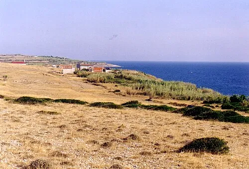 Otočić Srakane Vele Island, Primorje-Gorski Kotar County23 km NW
-
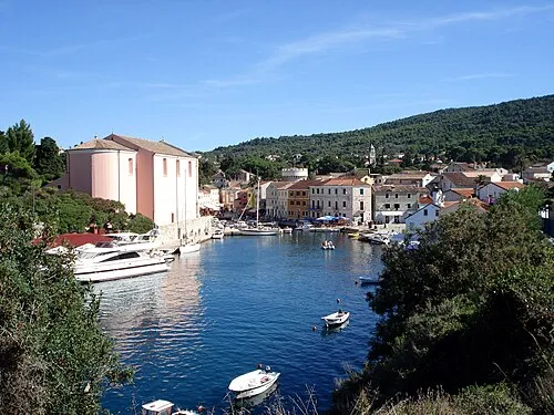 Lošinj Island, Primorje-Gorski Kotar County18 km NW
-
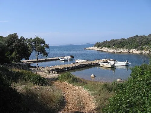 Otok Olib Island, Zadar County21 km SE
-
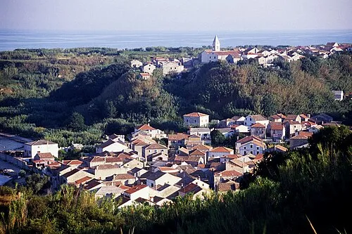 Otok Susak Island, Primorje-Gorski Kotar County21 km W
-
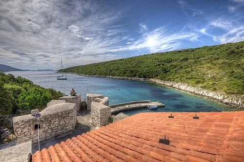 Otok Škarda Island, Zadar County23 km SE
More lakes, rivers and coasts in Croatia
-
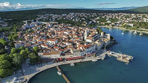 Krk Island, Primorje-Gorski Kotar County68 km N
-
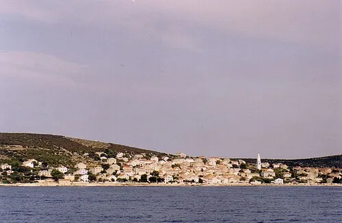 Otok Unije Island, Primorje-Gorski Kotar County32 km NW
-
 Otok Dolin Island, Primorje-Gorski Kotar County34 km NE
-
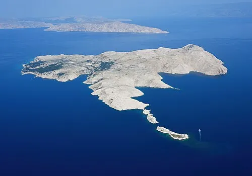 Goli otok Island, Primorje-Gorski Kotar County47 km NE
-
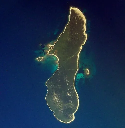 Otok Zeča Island, Primorje-Gorski Kotar County39 km NW
-
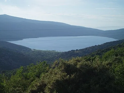 Lake Vrana Lake, Primorje-Gorski Kotar County45 km N
Sources & licences
Data last updated: · 2 independent sources