Otočić Srakane Vele
Located in Primorje-Gorski Kotar County, Croatia Coordinates: 44°34′56″ N 14°18′42″ E
- Elevation
- 15 m
- above sea level
- Local time
- UTC+01:00
- Europe/Zagreb · UTC+01:00
- Population
- 3
- 3
- Airports
- PUY Pula Airport46 km
- RJK Rijeka Airport73 km
About Otočić Srakane Vele
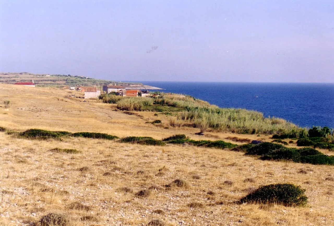
Otočić Srakane Vele is an island. Location: Primorje-Gorski Kotar County, Croatia. Population: 3.
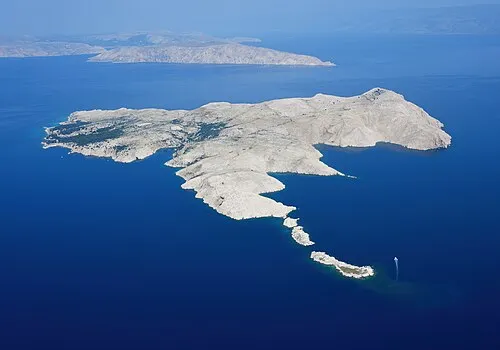
Vele Srakane (lit. 'Great Srakane'; Italian: Canidole Grande) is an island in the Croatian part of Adriatic Sea. It is situated between Lošinj, Unije and Susak, just north of Male Srakane. Its area is 1.15 km2, and as of 2021, it had a population of 4, down from 8 in 2001. Administratively, it is part of the town of Mali Lošinj. Highest peak is Vela straža, 59 meters high. As of 2012 there are no cars, no shops and no running water on the island. Electricity, however, is available.
Source: Wikipedia · CC BY-SA 4.0
At a glance
- Length
- 3.2 km
- Area
- 1.2 km²
Source: Wikidata
Photos of Otočić Srakane Vele
-
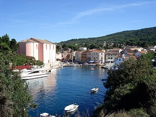
Lošinj Daniel Niederl · CC BY-SA 2.5

Climate of Otočić Srakane Vele
Best months for sightseeingBest months for sightseeing: May–June, September.
This month · November
A wet month
Day 15° · Night 10° · Rain 111 mm
- Hottest month
- July (day 29°)
- Coldest month
- February (night 5°)
- Wettest month
- November (111 mm)
- Driest month
- July (34 mm)
Bars: average monthly low and high temperature. Below: precipitation. Monthly averages for 1970–2000 at about 18 km resolution, adjusted for elevation. Highlighted months are mild and relatively dry. Source: WorldClim 2.1 (CC BY 4.0).
Show values as a table
| Month | Jan | Feb | Mar | Apr | May | Jun | Jul | Aug | Sep | Oct | Nov | Dec |
|---|---|---|---|---|---|---|---|---|---|---|---|---|
| Average high (°C) | 10° | 11° | 13° | 17° | 22° | 26° | 29° | 28° | 24° | 20° | 15° | 12° |
| Average low (°C) | 5° | 5° | 7° | 10° | 15° | 18° | 21° | 21° | 17° | 14° | 10° | 7° |
| Precipitation (mm) | 74 | 60 | 59 | 62 | 56 | 60 | 34 | 59 | 89 | 106 | 111 | 87 |
How to get to Otočić Srakane Vele
The nearest airport is Pula Airport (PUY), 46 km to the northwest as the crow flies. The nearest large city is Rijeka, 83 km to the north.
Airports
- Pula Airport (PUY) Pula 46 kmnorthwest
- Rijeka Airport (RJK) Rijeka(Omišalj) 73 kmnorth
- Zadar Airport (ZAD) Zadar 99 kmsoutheast
Nearby large cities
- Rijeka Population: 108K 83 kmnorth
- Ljubljana Population: 272.2K 164 kmnorth
- Zagreb Population: 663.6K 189 kmnortheast
- Split Population: 149.8K 208 kmsoutheast
- Klagenfurt Population: 100.3K 227 kmnorth
Straight-line distances; road distances are longer. Airport data: OurAirports.
Day trips from Otočić Srakane Vele
Within 100 km: 5 historic and cultural sites, 22 natural sites, 45 lakes, rivers and coasts.
0–25 km8 places
- Lošinj Island 7 kmE
- Otok Ilovik Island 24 kmSE
- Cres Island 25 kmN
- Otok Zeča Island 21 kmN
25–60 km28 places
- Krk Island 60 kmNE
- Silba Island 38 kmSE
- Otok Premuda Island 38 kmSE
- Otočić Košljun Island 55 kmNE
60–100 km36 places
- Uvala Stipanja Natural site 69 kmNE
- Otok Sestrunj Island 71 kmSE
- Otok Žverinac Island 67 kmSE
- Otočić Ošljak Island 91 kmSE
Straight-line distances.
Nearest towns and villages
-
Vele Srakane Village, Town of Mali Lošinj0.7 km S
-
Čunski Village, Town of Mali Lošinj7.6 km E
-
Susak Village, Town of Mali Lošinj8 km S
-
Sveti Jakov Village, Town of Mali Lošinj9.1 km NE
-
Unije Village, Town of Mali Lošinj7.7 km NW
-
 Mali Lošinj City, Town of Mali Lošinj14 km SE
Nearby attractions & nature
Everything nearby-
Lošinj Island, Primorje-Gorski Kotar County6.8 km E
-
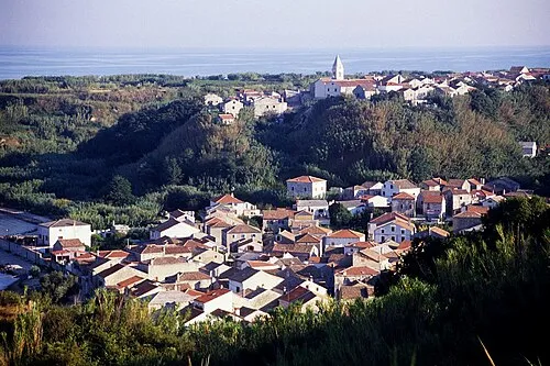 Otok Susak Island, Primorje-Gorski Kotar County8.1 km S
-
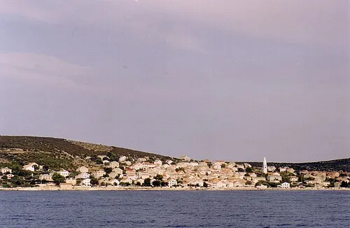 Otok Unije Island, Primorje-Gorski Kotar County9.6 km NW
-
 Otok Ilovik Island, Primorje-Gorski Kotar County24 km SE
-
 Otočić Veli Orjul Island, Primorje-Gorski Kotar County21 km SE
-
 Otočić Sveti Petar Island, Primorje-Gorski Kotar County23 km SE
-
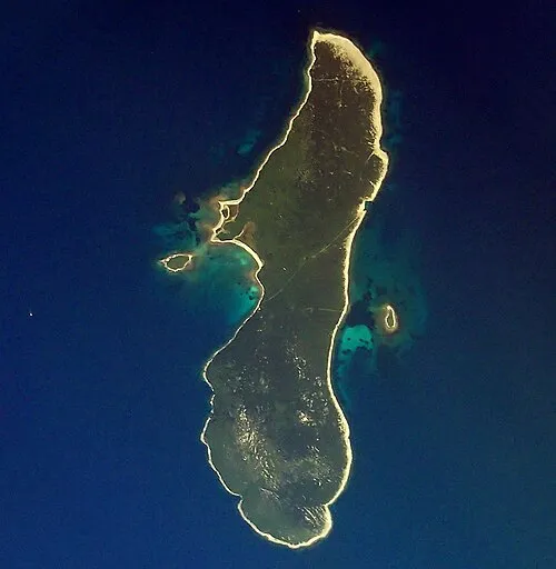 Otok Zeča Island, Primorje-Gorski Kotar County21 km N
-
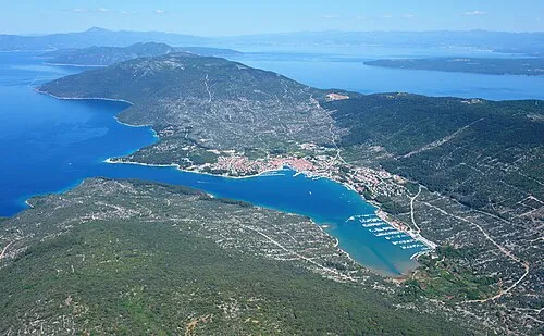 Cres Island, Primorje-Gorski Kotar County25 km N
More lakes, rivers and coasts in Croatia
-
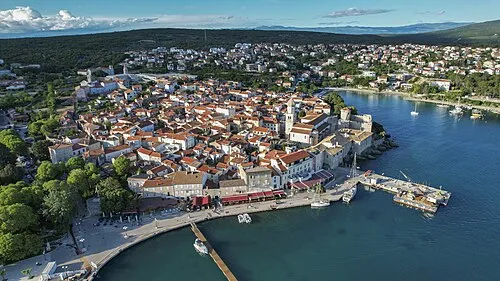 Krk Island, Primorje-Gorski Kotar County60 km NE
-
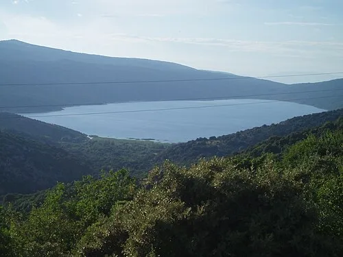 Lake Vrana Lake, Primorje-Gorski Kotar County31 km N
-
 Goli otok Island, Primorje-Gorski Kotar County50 km NE
-
 Otočić Košljun Island, Primorje-Gorski Kotar County55 km NE
-
 Otok Dolin Island, Primorje-Gorski Kotar County43 km E
-
 Otok Sveti Grgur Island, Primorje-Gorski Kotar County48 km NE
Sources & licences
Data last updated: · 2 independent sources