Baška
Located in Municipality of Baška, Primorje-Gorski Kotar County Coordinates: 44°58′13″ N 14°45′12″ E
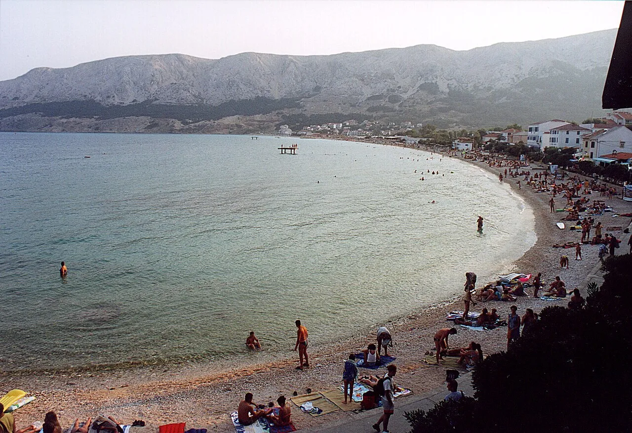
- Population
- 899
- 899
- Elevation
- 10 m
- above sea level
- Local time
- UTC+01:00
- Europe/Zagreb · UTC+01:00
- Airports
- RJK Rijeka Airport31 km
- PUY Pula Airport66 km
About Baška
Baška is a city. Location: Municipality of Baška, Primorje-Gorski Kotar County. Population: 899. Elevation: 10 m.
Baška (pronounced [bâʃka]) is a village and a municipality located on the southeast of the island of Krk, in Primorje-Gorski Kotar County, Croatia. According to the 2011 census, the municipality has a population of 1,656, with 899 in Baška itself. This cultural and historical center with its old stone houses and narrow streets, has been a tourist destination since the 19th century and has developed into a popular resort.
Source: Wikipedia · CC BY-SA 4.0
Photos of Baška
-

Laserlicht · CC BY-SA 4.0 -

Laserlicht · CC BY-SA 4.0 -

August Dominus · CC BY-SA 4.0 -

August Dominus · CC BY-SA 4.0 -

Olgierd Rudak · CC BY-SA 4.0


Travel notes for Baška
From Wikivoyage
Baška is situated in the valley of the same name at the very southeast of the island of Krk in Croatia. The best known feature of the area is its 1800-m-long pebble beach, the longest, and the largest one on part of the Adriatic sea. Of historical and cultural monuments we can mention the church of St. Lucija with the Bašćanska ploča.
Get in+
From the Krk Bridge follow the signposts for Krk town and then for Baska, which is around 45 km from the bridge. If you are driving be careful when passing Obzova, the highest part of the Krk island as the road is very narrow and has very sharp bends.
Source: Wikivoyage · CC BY-SA 4.0 · abridged
Places bordering Baška
- Punat
Climate of Baška
Best months for sightseeingBest months for sightseeing: May–June, September.
This month · November
A wet month
Day 13° · Night 7° · Rain 151 mm
- Hottest month
- July (day 29°)
- Coldest month
- January (night 3°)
- Wettest month
- October (151 mm)
- Driest month
- July (51 mm)
Bars: average monthly low and high temperature. Below: precipitation. Monthly averages for 1970–2000 at about 18 km resolution, adjusted for elevation. Highlighted months are mild and relatively dry. Source: WorldClim 2.1 (CC BY 4.0).
Show values as a table
| Month | Jan | Feb | Mar | Apr | May | Jun | Jul | Aug | Sep | Oct | Nov | Dec |
|---|---|---|---|---|---|---|---|---|---|---|---|---|
| Average high (°C) | 9° | 10° | 13° | 17° | 22° | 26° | 29° | 29° | 24° | 19° | 13° | 10° |
| Average low (°C) | 3° | 3° | 5° | 9° | 13° | 17° | 19° | 18° | 15° | 11° | 7° | 4° |
| Precipitation (mm) | 92 | 80 | 82 | 85 | 80 | 86 | 51 | 71 | 132 | 151 | 151 | 117 |
How to get to Baška
The nearest airport is Rijeka Airport (RJK), 31 km to the northwest as the crow flies. The nearest large city is Rijeka, 47 km to the northwest.
Airports
- Rijeka Airport (RJK) Rijeka(Omišalj) 31 kmnorthwest
- Pula Airport (PUY) Pula 66 kmwest
- Zadar Airport (ZAD) Zadar 108 kmsoutheast
Nearby large cities
- Rijeka Population: 108K 47 kmnorthwest
- Ljubljana Population: 272.2K 122 kmnorth
- Zagreb Population: 663.6K 134 kmnortheast
- Klagenfurt Population: 100.3K 187 kmnorth
- Banja Luka Population: 221.1K 195 kmeast
Straight-line distances; road distances are longer. Airport data: OurAirports.
Day trips from Baška
Within 100 km: 4 historic and cultural sites, 44 natural sites, 60 lakes, rivers and coasts.
0–25 km9 places
- Krk Island 16 kmNW
- Uvala Stipanja Natural site 21 kmN
- Otočić Košljun Island 12 kmNW
- Rab Island 22 kmS
25–60 km33 places
- Lošinj Island 51 kmSW
- Otok Ilovik Island 60 kmS
- Otočić Srakane Vele Island 56 kmSW
- Cres Island 33 kmSW
60–100 km66 places
- Silba Island 66 kmS
- Otok Premuda Island 72 kmS
- Otok Sestrunj Island 91 kmS
- Otok Žverinac Island 90 kmS
Straight-line distances.
Nearby attractions & nature
Everything nearby-
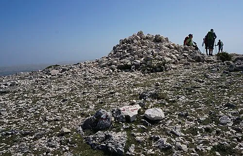 Obzova Mountain, Croatia5.9 km NW
-
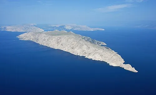 Otok Prvić Island, Primorje-Gorski Kotar County7.8 km SE
-
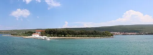 Otočić Košljun Island, Primorje-Gorski Kotar County12 km NW
-
 Otok Sveti Grgur Island, Primorje-Gorski Kotar County12 km S
-
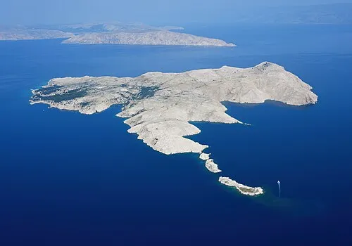 Goli otok Island, Primorje-Gorski Kotar County15 km S
-
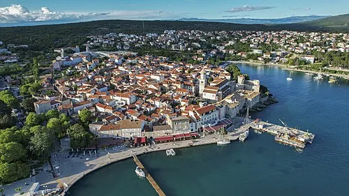 Krk Island, Primorje-Gorski Kotar County16 km NW
-
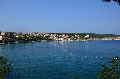 Uvala Stipanja Natural site, Primorje-Gorski Kotar County21 km N
-
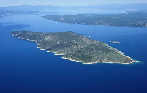 Otok Plavnik Island, Primorje-Gorski Kotar County18 km W
Sources & licences
Data last updated: · 2 independent sources