Otok Prvić
Located in Primorje-Gorski Kotar County, Croatia Coordinates: 44°54′38″ N 14°48′22″ E
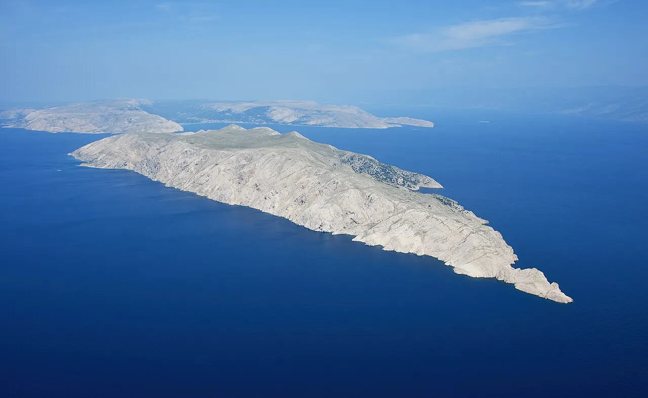
- Elevation
- 287 m
- above sea level
- Local time
- UTC+01:00
- Europe/Zagreb · UTC+01:00
- Airports
- RJK Rijeka Airport39 km
- PUY Pula Airport70 km
About Otok Prvić
Otok Prvić is an island. Location: Primorje-Gorski Kotar County, Croatia.
Prvić (pronounced [pr̩̂v̞itɕ], or Parvić in the Chakavian dialect; Pervicchio in Italian) is an uninhabited island in the Croatian part of the Adriatic Sea, located in the Kvarner Gulf. It is the largest of the so-called Senj Islands, a group of small islands and islets located off the coast of the mainland city of Senj, lying between the larger islands of Krk and Rab. Other significant islands in the Senj group are Sveti Grgur and Goli Otok, along with a number of islets and rocks, which are all uninhabited.
Source: Wikipedia · CC BY-SA 4.0
At a glance
- Area
- 12.8 km²
Source: Wikidata
Photos of Otok Prvić
-

Ruta Badina · CC BY-SA 3.0 -

Earth Science and Remote Sensing Unit , Lyndon B. Johnson Space Center · Public domain -

Joadl · CC BY-SA 3.0 -

Joadl · CC BY-SA 3.0 -

Wasquewhat · CC BY-SA 4.0


Climate of Otok Prvić
Best months for sightseeingBest months for sightseeing: May–September.
This month · November
A wet month
Day 11° · Night 5° · Rain 151 mm
- Hottest month
- July (day 27°)
- Coldest month
- January (night 1°)
- Wettest month
- October (151 mm)
- Driest month
- July (51 mm)
Bars: average monthly low and high temperature. Below: precipitation. Monthly averages for 1970–2000 at about 18 km resolution, adjusted for elevation. Highlighted months are mild and relatively dry. Source: WorldClim 2.1 (CC BY 4.0).
Show values as a table
| Month | Jan | Feb | Mar | Apr | May | Jun | Jul | Aug | Sep | Oct | Nov | Dec |
|---|---|---|---|---|---|---|---|---|---|---|---|---|
| Average high (°C) | 7° | 8° | 11° | 15° | 20° | 24° | 27° | 27° | 22° | 17° | 11° | 8° |
| Average low (°C) | 1° | 1° | 4° | 7° | 11° | 15° | 17° | 17° | 13° | 9° | 5° | 2° |
| Precipitation (mm) | 92 | 80 | 82 | 85 | 80 | 86 | 51 | 71 | 132 | 151 | 151 | 117 |
Other places to visit in this season: May June July August September
How to get to Otok Prvić
The nearest airport is Rijeka Airport (RJK), 39 km to the northwest as the crow flies. The nearest large city is Rijeka, 54 km to the northwest.
Airports
- Rijeka Airport (RJK) Rijeka(Omišalj) 39 kmnorthwest
- Pula Airport (PUY) Pula 70 kmwest
- Zadar Airport (ZAD) Zadar 100 kmsoutheast
Nearby large cities
- Rijeka Population: 108K 54 kmnorthwest
- Ljubljana Population: 272.2K 129 kmnorth
- Zagreb Population: 663.6K 136 kmnortheast
- Klagenfurt Population: 100.3K 194 kmnorth
- Split Population: 149.8K 203 kmsoutheast
Straight-line distances; road distances are longer. Airport data: OurAirports.
Day trips from Otok Prvić
Within 100 km: 4 historic and cultural sites, 35 natural sites, 58 lakes, rivers and coasts.
0–25 km9 places
- Krk Island 24 kmNW
- Otočić Košljun Island 20 kmNW
- Rab Island 16 kmS
- Otok Sveti Grgur Island 6 kmSW
25–60 km36 places
- Lošinj Island 48 kmSW
- Uvala Stipanja Natural site 29 kmNW
- Silba Island 60 kmS
- Otok Ilovik Island 55 kmS
60–100 km52 places
- Birovača Mountain 98 kmE
- Otok Premuda Island 66 kmS
- Otok Sestrunj Island 84 kmS
- Otok Žverinac Island 83 kmS
Straight-line distances.
Nearest towns and villages
-
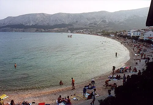 Baška City, Municipality of Baška7.8 km NW
-
Sveti Juraj Village, Town of Senj9.4 km E
-
Jurandvor Village, Municipality of Baška9.4 km NW
-
 Lopar City, Municipality of Lopar11 km SW
-
Stara Baška Village, Municipality of Punat10 km NW
-
Draga Bašćanska Village, Municipality of Baška12 km NW
Nearby attractions & nature
Everything nearby-
 Otok Sveti Grgur Island, Primorje-Gorski Kotar County5.8 km SW
-
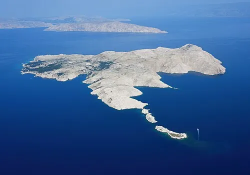 Goli otok Island, Primorje-Gorski Kotar County7.5 km S
-
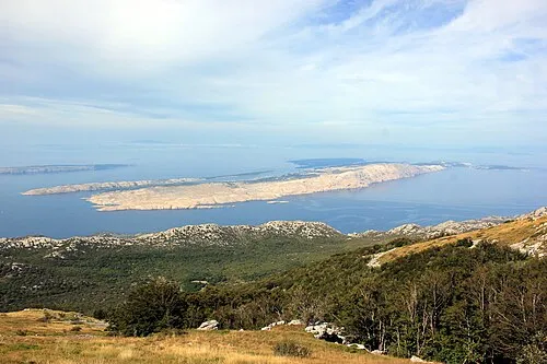 Rab Island, Primorje-Gorski Kotar County16 km S
-
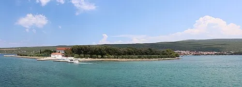 Otočić Košljun Island, Primorje-Gorski Kotar County20 km NW
-
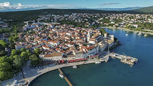 Krk Island, Primorje-Gorski Kotar County24 km NW
-
 Otok Dolin Island, Primorje-Gorski Kotar County23 km S
-
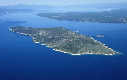 Otok Plavnik Island, Primorje-Gorski Kotar County23 km W
-
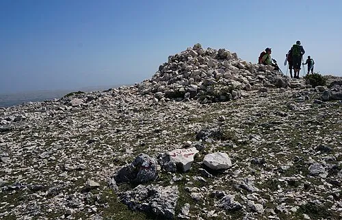 Obzova Mountain, Croatia13 km NW
More lakes, rivers and coasts in Croatia
-
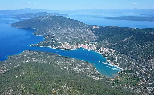 Cres Island, Primorje-Gorski Kotar County34 km SW
-
 Otok Ilovik Island, Primorje-Gorski Kotar County55 km S
-
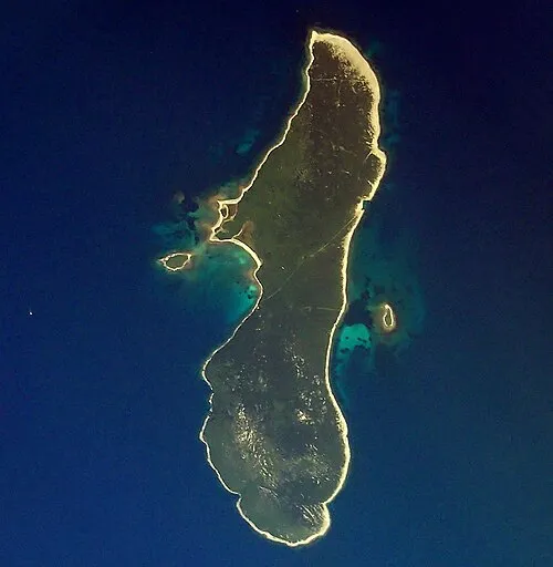 Otok Zeča Island, Primorje-Gorski Kotar County42 km W
-
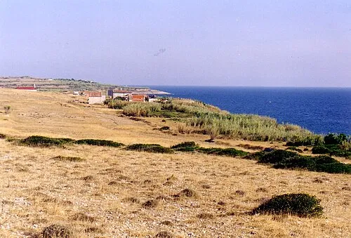 Otočić Srakane Vele Island, Primorje-Gorski Kotar County54 km SW
-
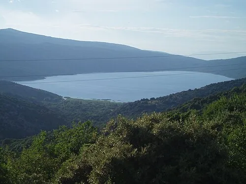 Lake Vrana Lake, Primorje-Gorski Kotar County34 km W
-
 Otočić Veli Orjul Island, Primorje-Gorski Kotar County50 km SW
Sources & licences
Data last updated: · 2 independent sources