Otok Plavnik
Located in Primorje-Gorski Kotar County, Croatia Coordinates: 44°58′16″ N 14°31′33″ E
- Elevation
- 132 m
- above sea level
- Local time
- UTC+01:00
- Europe/Zagreb · UTC+01:00
- Airports
- RJK Rijeka Airport27 km
- PUY Pula Airport48 km
About Otok Plavnik
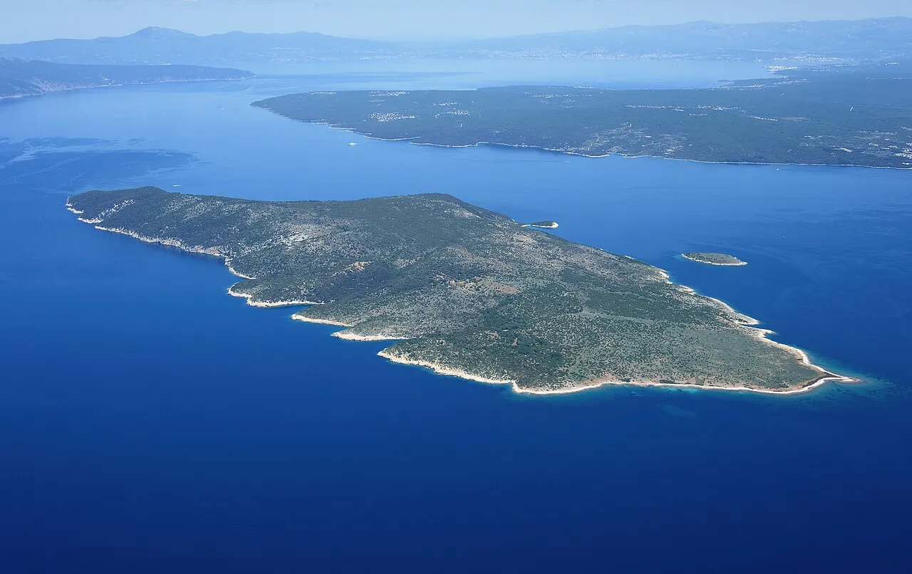
Otok Plavnik is an island. Location: Primorje-Gorski Kotar County, Croatia.
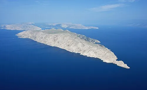
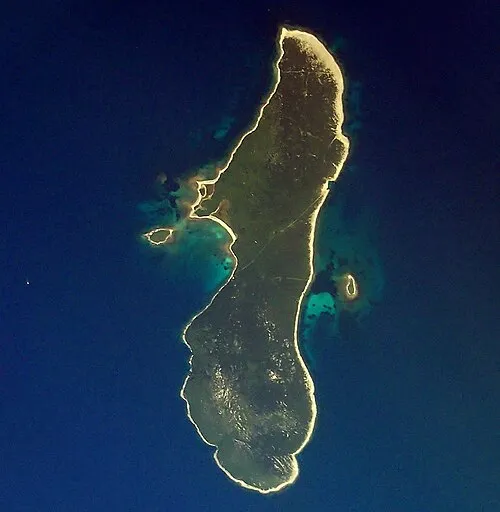
Plavnik is an unpopulated island in the Adriatic Sea, belonging to Croatia located between the Central Straits and the Kvarner Bay. The Krusija Channel cuts it off from the eastern coast of the island of Cres. This channel is the shortest route from the Adriatic Sea through the islands to Rijeka. A lighthouse, established in 1890, sits at the northwestern point of the islet, marking the east side of the narrowest opening of the Krusija Channel.
Source: Wikipedia · CC BY-SA 4.0
At a glance
- Area
- 8.6 km²
Source: Wikidata
Photos of Otok Plavnik
-

Bernd Thaller from Graz, Austria · CC BY 2.0 -

Falk2 · CC BY-SA 4.0 -

Falk2 · CC BY-SA 4.0 -

Edo.gia · CC BY-SA 4.0 -

Edo.gia · CC BY-SA 4.0


Climate of Otok Plavnik
Best months for sightseeingBest months for sightseeing: May–September.
This month · November
A wet month
Day 13° · Night 7° · Rain 148 mm
- Hottest month
- July (day 28°)
- Coldest month
- January (night 3°)
- Wettest month
- October (148 mm)
- Driest month
- July (47 mm)
Bars: average monthly low and high temperature. Below: precipitation. Monthly averages for 1970–2000 at about 18 km resolution, adjusted for elevation. Highlighted months are mild and relatively dry. Source: WorldClim 2.1 (CC BY 4.0).
Show values as a table
| Month | Jan | Feb | Mar | Apr | May | Jun | Jul | Aug | Sep | Oct | Nov | Dec |
|---|---|---|---|---|---|---|---|---|---|---|---|---|
| Average high (°C) | 9° | 9° | 12° | 16° | 21° | 25° | 28° | 28° | 23° | 18° | 13° | 10° |
| Average low (°C) | 3° | 3° | 5° | 8° | 13° | 16° | 19° | 18° | 15° | 11° | 7° | 4° |
| Precipitation (mm) | 94 | 77 | 78 | 80 | 75 | 83 | 47 | 69 | 128 | 148 | 148 | 116 |
Other places to visit in this season: May June July August September
How to get to Otok Plavnik
The nearest airport is Rijeka Airport (RJK), 27 km to the north as the crow flies. The nearest large city is Rijeka, 40 km to the north.
Airports
- Rijeka Airport (RJK) Rijeka(Omišalj) 27 kmnorth
- Pula Airport (PUY) Pula 48 kmwest
- Zadar Airport (ZAD) Zadar 117 kmsoutheast
Nearby large cities
- Rijeka Population: 108K 40 kmnorth
- Ljubljana Population: 272.2K 120 kmnorth
- Zagreb Population: 663.6K 147 kmnortheast
- Klagenfurt Population: 100.3K 185 kmnorth
- Split Population: 149.8K 223 kmsoutheast
Straight-line distances; road distances are longer. Airport data: OurAirports.
Day trips from Otok Plavnik
Within 100 km: 10 historic and cultural sites, 60 natural sites, 54 lakes, rivers and coasts.
0–25 km8 places
- Krk Island 14 kmNE
- Uvala Stipanja Natural site 23 kmNE
- Otočić Košljun Island 10 kmNE
- Cres Island 22 kmSW
25–60 km29 places
- Lošinj Island 44 kmS
- Otok Ilovik Island 57 kmS
- Otočić Srakane Vele Island 46 kmS
- Rab Island 30 kmSE
60–100 km87 places
- Silba Island 67 kmS
- Otok Premuda Island 72 kmS
- Otok Sestrunj Island 97 kmS
- Otok Žverinac Island 95 kmS
Straight-line distances.
Nearest towns and villages

Nearby attractions & nature
Everything nearby-
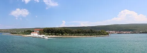 Otočić Košljun Island, Primorje-Gorski Kotar County9.5 km NE
-
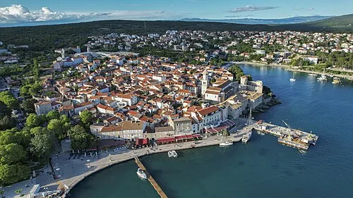 Krk Island, Primorje-Gorski Kotar County14 km NE
-
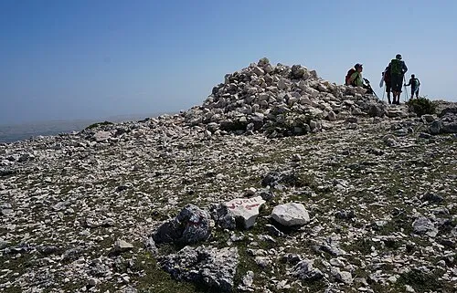 Obzova Mountain, Croatia13 km E
-
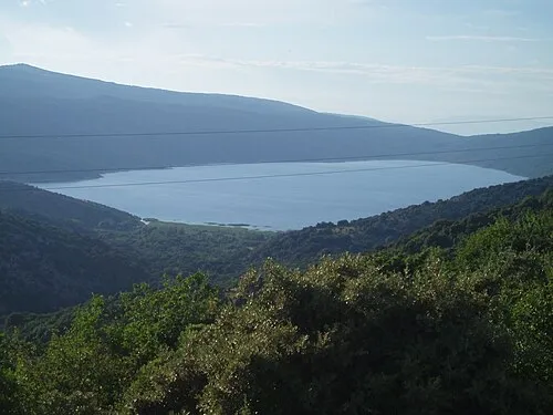 Lake Vrana Lake, Primorje-Gorski Kotar County17 km SW
-
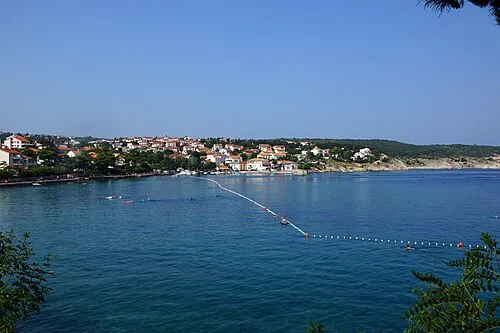 Uvala Stipanja Natural site, Primorje-Gorski Kotar County23 km NE
-
 Otok Sveti Grgur Island, Primorje-Gorski Kotar County22 km SE
-
 Otok Prvić Island, Primorje-Gorski Kotar County23 km E
-
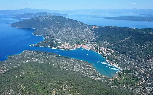 Cres Island, Primorje-Gorski Kotar County22 km SW
More lakes, rivers and coasts in Croatia
-
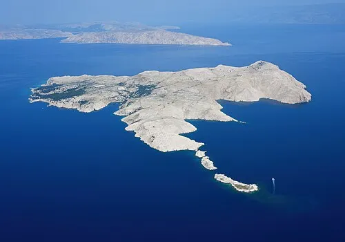 Goli otok Island, Primorje-Gorski Kotar County27 km SE
-
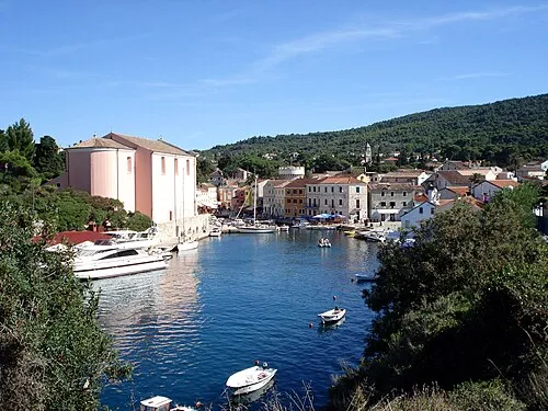 Lošinj Island, Primorje-Gorski Kotar County44 km S
-
 Otok Zeča Island, Primorje-Gorski Kotar County28 km SW
-
 Otočić Srakane Vele Island, Primorje-Gorski Kotar County46 km S
-
 Otok Dolin Island, Primorje-Gorski Kotar County37 km SE
-
 Otok Ilovik Island, Primorje-Gorski Kotar County57 km S
Sources & licences
Data last updated: · 2 independent sources