Municipality of Punat
Located in Primorje-Gorski Kotar County, Croatia Coordinates: 45°01′13″ N 14°37′56″ E

- Population
- 1,900
- 1.9K
- Elevation
- 18 m
- above sea level
- Local time
- UTC+01:00
- Europe/Zagreb · UTC+01:00
- Places inside
- 2
- listed under Municipality of Punat
- Airports
- RJK Rijeka Airport22 km
- PUY Pula Airport58 km
About Municipality of Punat
Municipality of Punat is a district. Location: Primorje-Gorski Kotar County, Croatia. Population: 1,900. The best months to visit are May–June, September. The nearest airport is Rijeka Airport (22 km). Nearby sights include Otočić Košljun and Krk.
Photos of Municipality of Punat
-
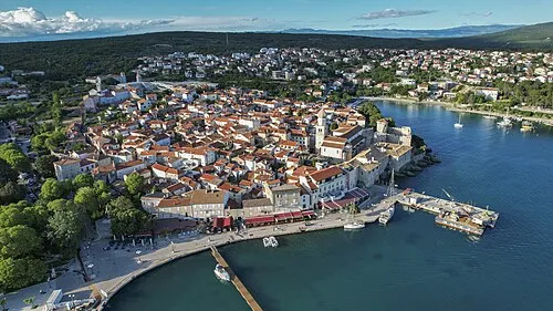
Krk Arne Müseler · CC BY-SA 3.0 de -
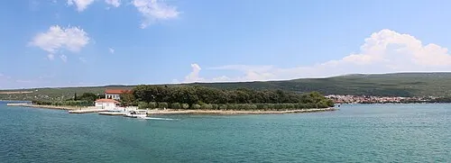
Otočić Košljun Wikiarius · CC BY-SA 3.0 -
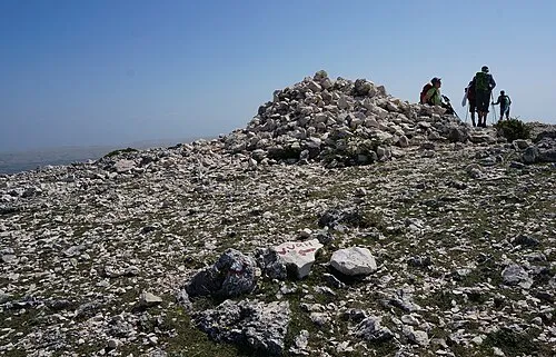
Obzova Naturpuur · CC BY 4.0


Climate of Municipality of Punat
Best months for sightseeingBest months for sightseeing: May–June, September.
This month · November
A wet month
Day 14° · Night 7° · Rain 156 mm
- Hottest month
- July (day 29°)
- Coldest month
- January (night 3°)
- Wettest month
- October (159 mm)
- Driest month
- July (51 mm)
Bars: average monthly low and high temperature. Below: precipitation. Monthly averages for 1970–2000 at about 18 km resolution, adjusted for elevation. Highlighted months are mild and relatively dry. Source: WorldClim 2.1 (CC BY 4.0).
Show values as a table
| Month | Jan | Feb | Mar | Apr | May | Jun | Jul | Aug | Sep | Oct | Nov | Dec |
|---|---|---|---|---|---|---|---|---|---|---|---|---|
| Average high (°C) | 9° | 10° | 13° | 17° | 22° | 26° | 29° | 29° | 24° | 19° | 14° | 10° |
| Average low (°C) | 3° | 3° | 6° | 9° | 13° | 17° | 19° | 19° | 15° | 11° | 7° | 4° |
| Precipitation (mm) | 100 | 81 | 82 | 85 | 81 | 90 | 51 | 74 | 136 | 159 | 156 | 124 |
How to get to Municipality of Punat
The nearest airport is Rijeka Airport (RJK), 22 km to the north as the crow flies. The nearest large city is Rijeka, 37 km to the northwest.
Airports
- Rijeka Airport (RJK) Rijeka(Omišalj) 22 kmnorth
- Pula Airport (PUY) Pula 58 kmwest
- Zadar Airport (ZAD) Zadar 118 kmsoutheast
Nearby large cities
- Rijeka Population: 108K 37 kmnorthwest
- Ljubljana Population: 272.2K 115 kmnorth
- Zagreb Population: 663.6K 137 kmnortheast
- Klagenfurt Population: 100.3K 180 kmnorth
- Split Population: 149.8K 221 kmsoutheast
Straight-line distances; road distances are longer. Airport data: OurAirports.
Day trips from Municipality of Punat
Within 100 km: 9 historic and cultural sites, 65 natural sites, 59 lakes, rivers and coasts.
0–25 km8 places
- Krk Island 6 kmN
- Uvala Stipanja Natural site 15 kmN
- Otočić Košljun Island 1 kmNW
- Otok Sveti Grgur Island 20 kmSE
25–60 km29 places
- Lošinj Island 52 kmS
- Otočić Srakane Vele Island 55 kmSW
- Rab Island 30 kmS
- Cres Island 31 kmSW
60–100 km96 places
- Silba Island 71 kmS
- Otok Ilovik Island 63 kmS
- Otok Premuda Island 77 kmS
- Otok Sestrunj Island 99 kmS
Straight-line distances.
Places in Municipality of Punat
2 places-
Punat
Population: 1.8K

Stara Baška
Population: 116
Nearby attractions & nature
Everything nearby-
Otočić Košljun Island, Primorje-Gorski Kotar County1.2 km NW
-
Krk Island, Primorje-Gorski Kotar County6.2 km N
-
Obzova Mountain, Croatia5.2 km SE
-
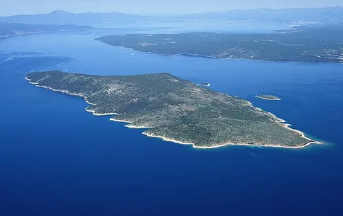 Otok Plavnik Island, Primorje-Gorski Kotar County10 km SW
-
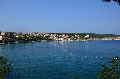 Uvala Stipanja Natural site, Primorje-Gorski Kotar County15 km N
-
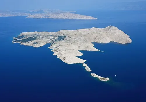 Goli otok Island, Primorje-Gorski Kotar County25 km SE
Sources & licences
Data last updated: