- Population
- 364
- 364
- Elevation
- 9 m
- above sea level
- Local time
- UTC+01:00
- Europe/Zagreb · UTC+01:00
- Airports
- RJK Rijeka Airport53 km
- PUY Pula Airport68 km
About Rab
Rab is a city. Location: Town of Rab, Primorje-Gorski Kotar County. Population: 364. Elevation: 9 m.
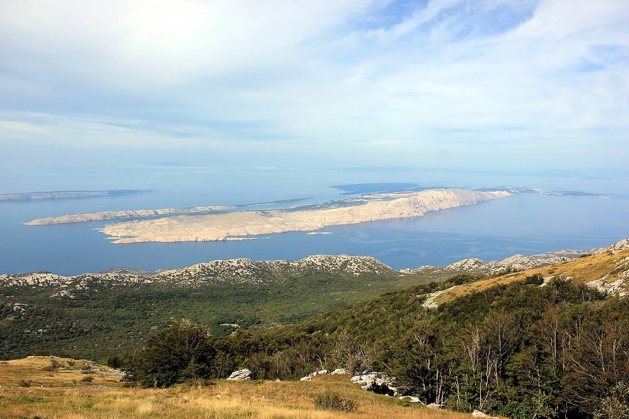
Rab (Croatian: [ɾâːb]) is an island in the Primorje-Gorski Kotar County in Croatia, located just off the northern Croatian coast in the Adriatic Sea. The island is 22 km (14 mi) long, has an area of 93.6 km2 (36 sq mi) and 7,161 inhabitants (2021). The main settlement on the island is the eponymous town of Rab, although the neighboring village of Palit has the biggest population. The highest peak is Kamenjak at 408 m.
Source: Wikipedia · CC BY-SA 4.0
At a glance
- Area
- 93.6 km²
Source: Wikidata
Photos of Rab
-

Earth Science and Remote Sensing Unit , Lyndon B. Johnson Space Center · Public domain -

Isiwal · CC BY-SA 3.0 -

Vladimirmi81 · CC BY-SA 4.0 -

Vladimirmi81 · CC BY-SA 4.0 -

Earth Science and Remote Sensing Unit , Lyndon B. Johnson Space Center · Public domain


Travel notes for Rab
From Wikivoyage
Rab (Italian Arbe) is an island and a town of the same name in Kvarner.
Understand+
Rab is just off the northern coast of Croatia in the Adriatic Sea, today in the Primorje-Gorski Kotar county. The island was the frontier between Liburnia and Dalmatia. Rab is one of the most popular islands in the north Adria, with the town as beautiful as Dubrovnik, and green woods as in Mljet National Park.
After Opatija, Rab was one of the first vacation and wellness oases in the Kvarner archipelago region, also known as the pioneer of the nudism. Rab offers everything necessary for a great holiday -- friendly people, good facilities, nice climate and great beaches.
Get in+
By ferry:
Rab can be accessed:
by car ferry from Valbiska on the island Krk (€5.97 as of 2023)
by car ferry from Stinica near Jablanac on the mainland
by a small boat from Tovarnele near Lun on the islad Pag (only pedestrians and cyclists)
By bus:
Direct bus line from Rijeka through Senj is connecting island Rab with mainland.
Source: Wikivoyage · CC BY-SA 4.0 · abridged
Climate of Rab
Best months for sightseeingBest months for sightseeing: May–June, September.
This month · November
A wet month
Day 14° · Night 8° · Rain 134 mm
- Hottest month
- July (day 29°)
- Coldest month
- January (night 4°)
- Wettest month
- October (134 mm)
- Driest month
- July (42 mm)
Bars: average monthly low and high temperature. Below: precipitation. Monthly averages for 1970–2000 at about 18 km resolution, adjusted for elevation. Highlighted months are mild and relatively dry. Source: WorldClim 2.1 (CC BY 4.0).
Show values as a table
| Month | Jan | Feb | Mar | Apr | May | Jun | Jul | Aug | Sep | Oct | Nov | Dec |
|---|---|---|---|---|---|---|---|---|---|---|---|---|
| Average high (°C) | 10° | 10° | 13° | 17° | 22° | 26° | 29° | 29° | 24° | 19° | 14° | 10° |
| Average low (°C) | 4° | 4° | 6° | 9° | 14° | 17° | 20° | 19° | 15° | 12° | 8° | 5° |
| Precipitation (mm) | 85 | 72 | 71 | 75 | 72 | 74 | 42 | 63 | 118 | 134 | 134 | 107 |
How to get to Rab
The nearest airport is Rijeka Airport (RJK), 53 km to the north as the crow flies. The nearest large city is Rijeka, 68 km to the north.
Airports
- Rijeka Airport (RJK) Rijeka(Omišalj) 53 kmnorth
- Pula Airport (PUY) Pula 68 kmwest
- Zadar Airport (ZAD) Zadar 87 kmsoutheast
Nearby large cities
- Rijeka Population: 108K 68 kmnorth
- Ljubljana Population: 272.2K 145 kmnorth
- Zagreb Population: 663.6K 151 kmnortheast
- Split Population: 149.8K 193 kmsoutheast
- Klagenfurt Population: 100.3K 211 kmnorth
Straight-line distances; road distances are longer. Airport data: OurAirports.
Day trips from Rab
Within 100 km: 4 historic and cultural sites, 32 natural sites, 55 lakes, rivers and coasts.
0–25 km8 places
- Rab Island 2 kmNE
- Otok Sveti Grgur Island 12 kmN
- Otok Prvić Island 17 kmN
- Goli otok Island 11 kmNE
25–60 km36 places
- Krk Island 37 kmN
- Lošinj Island 35 kmSW
- Uvala Stipanja Natural site 44 kmN
- Silba Island 42 kmS
60–100 km47 places
- Birovača Mountain 96 kmE
- Otok Sestrunj Island 68 kmS
- Otok Žverinac Island 67 kmS
- Otočić Ošljak Island 84 kmSE
Straight-line distances.
Nearby attractions & nature
Everything nearby-
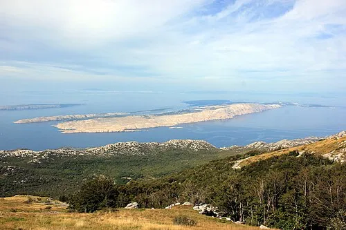 Rab Island, Primorje-Gorski Kotar County1.7 km NE
-
 Otok Dolin Island, Primorje-Gorski Kotar County7.2 km SE
-
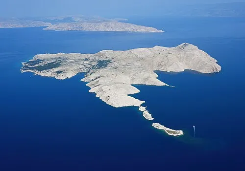 Goli otok Island, Primorje-Gorski Kotar County11 km NE
-
 Otok Sveti Grgur Island, Primorje-Gorski Kotar County12 km N
-
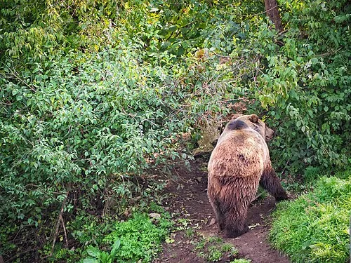 Štirovača Natural site, Lika-Senj County24 km E
-
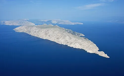 Otok Prvić Island, Primorje-Gorski Kotar County17 km N
-
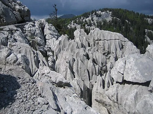 Northern Velebit National Park Natural site, Lika-Senj County20 km E
-
Veliki Kozjak Mountain, Lika-Senj County22 km E
Sources & licences
Data last updated: · 2 independent sources