- Elevation
- 15 m
- above sea level
- Local time
- UTC+01:00
- Europe/Zagreb · UTC+01:00
- Airports
- ZAD Zadar Airport31 km
- SPU Split Saint Jerome Airport70 km
About Arta Vela
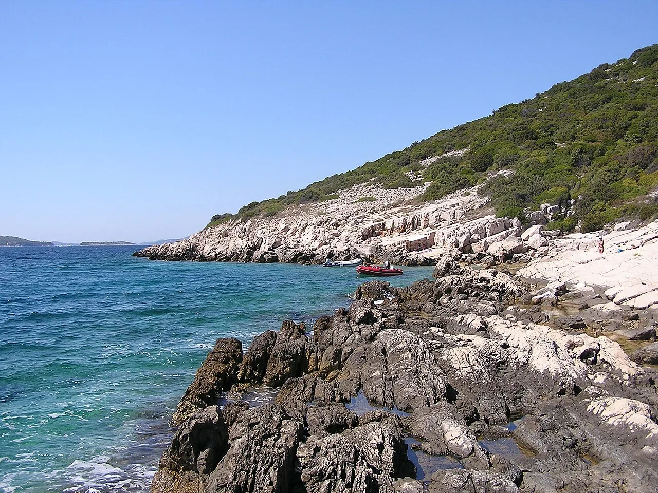
Arta Vela is an island. Location: Šibenik-Knin County, Croatia.
Arta Velika (also Arta Vela) is an uninhabited island in Croatia, in central Dalmatia, part of the Šibenik archipelago off the coast of the city of Šibenik. It lies 2.5 km northwest of the island of Murter and the settlement nearest to the island is Pakoštane, 5 km away on the mainland. The island's area is 1.27 km2 and its coastline is 5.53 km long. Arta Mala Island is the closest neighboring island at 0.83 miles away. The highest point on the island is Velika Glava, which is 95 meters high.
Source: Wikipedia · CC BY-SA 4.0
At a glance
- Area
- 1.3 km²
Source: Wikidata
Climate of Arta Vela
Best months for sightseeingBest months for sightseeing: May–June, September–October.
This month · November
Outside the best season
Day 15° · Night 7° · Rain 96 mm
- Hottest month
- July (day 30°)
- Coldest month
- January (night 3°)
- Wettest month
- November (96 mm)
- Driest month
- July (29 mm)
Bars: average monthly low and high temperature. Below: precipitation. Monthly averages for 1970–2000 at about 18 km resolution, adjusted for elevation. Highlighted months are mild and relatively dry. Source: WorldClim 2.1 (CC BY 4.0).
Show values as a table
| Month | Jan | Feb | Mar | Apr | May | Jun | Jul | Aug | Sep | Oct | Nov | Dec |
|---|---|---|---|---|---|---|---|---|---|---|---|---|
| Average high (°C) | 10° | 11° | 14° | 17° | 23° | 26° | 30° | 29° | 25° | 20° | 15° | 11° |
| Average low (°C) | 3° | 3° | 5° | 8° | 13° | 16° | 19° | 18° | 15° | 11° | 7° | 4° |
| Precipitation (mm) | 69 | 60 | 65 | 68 | 58 | 52 | 29 | 45 | 83 | 90 | 96 | 83 |
Other places to visit in this season: May June September October
How to get to Arta Vela
The nearest airport is Zadar Airport (ZAD), 31 km to the northwest as the crow flies. The nearest large city is Split, 82 km to the southeast.
Airports
- Zadar Airport (ZAD) Zadar 31 kmnorthwest
- Split Saint Jerome Airport (SPU) Split 70 kmsoutheast
- Brač Airport (BWK) Gornji Humac 111 kmsoutheast
Nearby large cities
- Split Population: 149.8K 82 kmsoutheast
- Rijeka Population: 108K 185 kmnorthwest
- Zagreb Population: 663.6K 220 kmnorth
- Klagenfurt Population: 100.3K 323 kmnorth
- Pécs Population: 145.3K 325 kmnortheast
Straight-line distances; road distances are longer. Airport data: OurAirports.
Nearest towns and villages
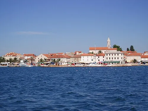
Nearby attractions & nature
Everything nearby-
Otok Vrgada Island, Zadar County3.5 km W
-
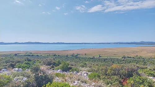 Lake Vrana Lake, Zadar County5 km NE
-
 Otok Murter Island, Šibenik-Knin County8.8 km SE
-
 Smokvica Vela Island, Šibenik-Knin County15 km S
-
 Kornat Island, Municipality of Murter-Kornati20 km W
-
 Lavsa Island, Šibenik-Knin County18 km SW
-
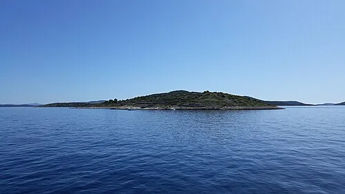 Otok Kaprije Island, Šibenik-Knin County22 km SE
-
 Otok Žut Island, Šibenik-Knin County19 km W
More lakes, rivers and coasts in Croatia
-
 Piškera Island, Šibenik-Knin County19 km SW
-
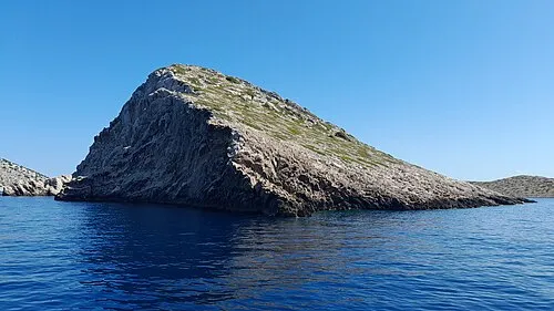 Klobučar Island, Šibenik-Knin County18 km SW
-
Otok Kakan Island, Šibenik-Knin County22 km SE
-
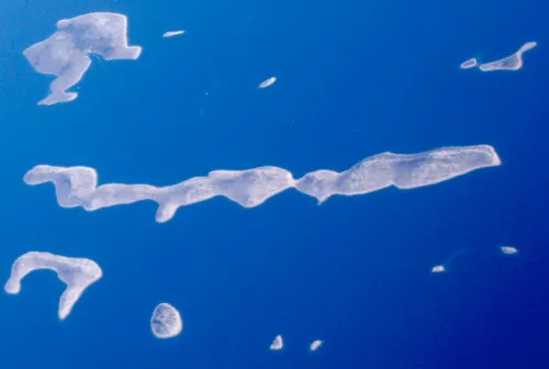 Otočić Kurba Vela Island, Šibenik-Knin County19 km S
-
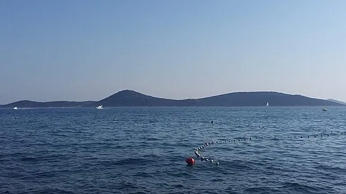 Otok Tijat Island, Šibenik-Knin County23 km SE
-
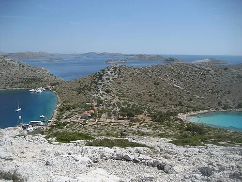 Otočić Levrnaka Island, Šibenik-Knin County24 km W
Sources & licences
Data last updated: · 2 independent sources