Milna
Located in Municipality of Milna, Split-Dalmatia County Coordinates: 43°19′36″ N 16°27′03″ E
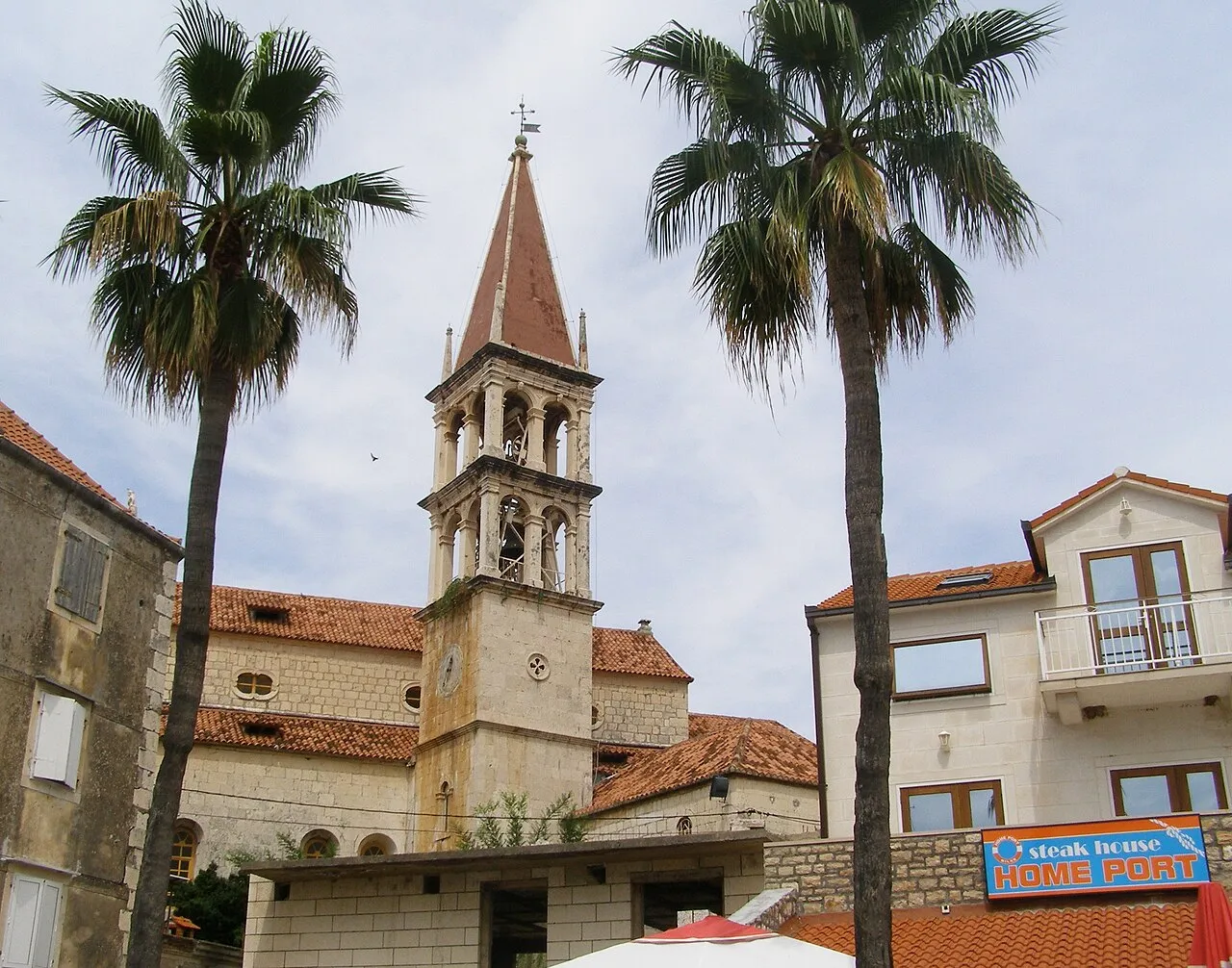
- Population
- 775
- 775
- Elevation
- 12 m
- above sea level
- Local time
- UTC+01:00
- Europe/Zagreb · UTC+01:00
- Airports
- BWK Brač Airport19 km
- SPU Split Saint Jerome Airport27 km
About Milna
Milna is a city. Location: Municipality of Milna, Split-Dalmatia County. Population: 775. Elevation: 12 m.
Milna is a village and municipality on the western side of the island of Brač, Split-Dalmatia County, Croatia. It is situated in a deep bay oriented towards the island of Mrduja and Split Channel, on the west. The village was settled in the 16th century, by shepherds from Nerežišća. Milna is notable for being the sole location on the island where the Chakavian dialect is spoken.
Source: Wikipedia · CC BY-SA 4.0
Photos of Milna
-

Falk2 · CC BY-SA 3.0 de -

Falk2 · CC BY-SA 3.0 de -

Silverije · CC BY-SA 4.0 -

Silverije · CC BY-SA 4.0 -

Alex Proimos · CC BY 2.0


Travel notes for Milna
From Wikivoyage
Milna is a small town on the island of Brac in Croatia, founded at the turn of the 17th century, on the northwest side of the island. The welcoming bays of Milna have always been favorite port to sailors sailing through the Middle Adriatic. Milna is still reputed as the most beautiful and the safest harbor of Brač.
Get in+
Buses run several times a day from Supetar, the village where the ferry docks. Unfortunately, they stop in the late afternoon or early evening -- even in summer!, so you must rent a scooter or car, or take a taxi.
A car or boat rental will let you explore the island and reach idyllic beaches.
By boat:
The ferries to the island are operated by Jadrolinija and Krilo Shipping Company. While there is no car ferry directly to Milna, car ferries arrive to Supetar from Split and to Sumartin from Makarska.
Additionally, a passenger catamaran connects Milna with Split, Vis, Solta and Hvar (one connection daily in the main summer season). All ferry line are listed on RAFT Croatia ferry platform.
Seayou, Riva 6, ☏ +385 912636805, booking@seayou.com. Private water taxi service from Split directly to Milna. Available 24/7. (updated Jan 2023)
Source: Wikivoyage · CC BY-SA 4.0 · abridged
Places bordering Milna
- Nerežišće
Climate of Milna
Best months for sightseeingBest months for sightseeing: May–June, September–October.
This month · November
Outside the best season
Day 16° · Night 10° · Rain 97 mm
- Hottest month
- July (day 30°)
- Coldest month
- February (night 6°)
- Wettest month
- November (97 mm)
- Driest month
- July (26 mm)
Bars: average monthly low and high temperature. Below: precipitation. Monthly averages for 1970–2000 at about 18 km resolution, adjusted for elevation. Highlighted months are mild and relatively dry. Source: WorldClim 2.1 (CC BY 4.0).
Show values as a table
| Month | Jan | Feb | Mar | Apr | May | Jun | Jul | Aug | Sep | Oct | Nov | Dec |
|---|---|---|---|---|---|---|---|---|---|---|---|---|
| Average high (°C) | 12° | 13° | 15° | 18° | 23° | 27° | 30° | 30° | 26° | 21° | 16° | 13° |
| Average low (°C) | 6° | 6° | 8° | 11° | 15° | 19° | 21° | 21° | 18° | 14° | 10° | 8° |
| Precipitation (mm) | 70 | 57 | 64 | 58 | 49 | 39 | 26 | 42 | 62 | 79 | 97 | 86 |
Other places to visit in this season: May June September October
How to get to Milna
The nearest airport is Brač Airport (BWK), 19 km to the east as the crow flies. For international flights: Split Saint Jerome Airport (SPU) (27 km). The nearest large city is Split, 20 km to the north.
Airports
- Brač Airport (BWK) Gornji Humac 19 kmeast
- Split Saint Jerome Airport (SPU) Split 27 kmnorthwest
- Mostar International Airport (OMO) Mostar 113 kmeast
Nearby large cities
- Split Population: 149.8K 20 kmnorth
- Rijeka Population: 108K 274 kmnorthwest
- Zagreb Population: 663.6K 279 kmnorth
- Pécs Population: 145.3K 336 kmnortheast
- Ljubljana Population: 272.2K 340 kmnorthwest
Straight-line distances; road distances are longer. Airport data: OurAirports.
Day trips from Milna
Within 100 km: 8 historic and cultural sites, 13 natural sites, 47 lakes, rivers and coasts.
0–25 km13 places
- Brač Island 15 kmE
- Šolta Island 14 kmNW
- Diocletian's Palace Historic site 20 kmN
- Marjan Mountain 20 kmN
25–60 km15 places
- Krapanj Island 58 kmNW
- Otok Mali Drvenik Island 33 kmNW
- Otok Biševo Island 53 kmSW
- Otok Šćedro Island 33 kmSE
60–100 km40 places
- Lagosta Island Island 73 kmSE
- Otok Prvić Island 70 kmNW
- Otok Zlarin Island 63 kmNW
- Otok Kaprije Island 73 kmNW
Straight-line distances.
Nearby attractions & nature
Everything nearby-
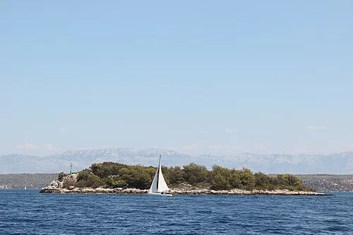 Otok Mrduja Island, Split-Dalmatia County2.9 km W
-
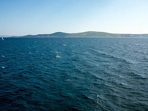 Šolta Island, Split-Dalmatia County14 km NW
-
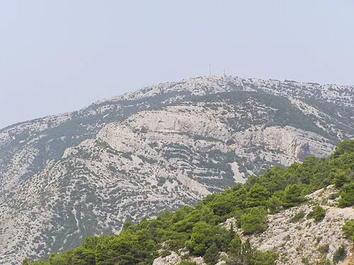 Vidova Gora Mountain, Split-Dalmatia County15 km E
-
Diocletian's Palace Historic site, Croatia20 km N
-
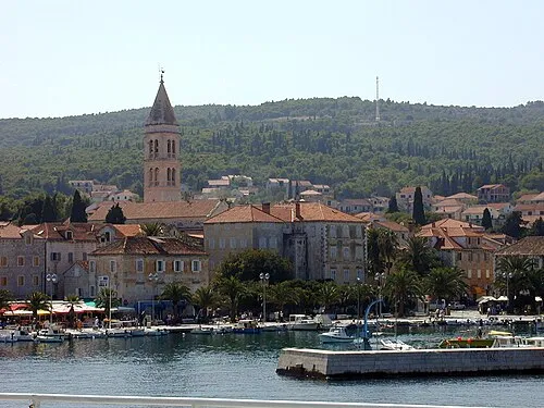 Brač Island, Split-Dalmatia County15 km E
-
Salona Historic site, Croatia24 km N
-
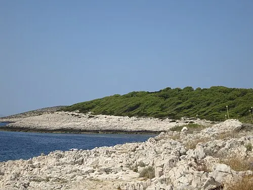 Otok Jerolim Island, Split-Dalmatia County18 km S
-
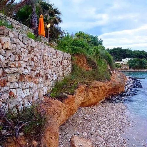 Otok Sveti Klement Island, Split-Dalmatia County19 km S
Sources & licences
Data last updated: · 2 independent sources