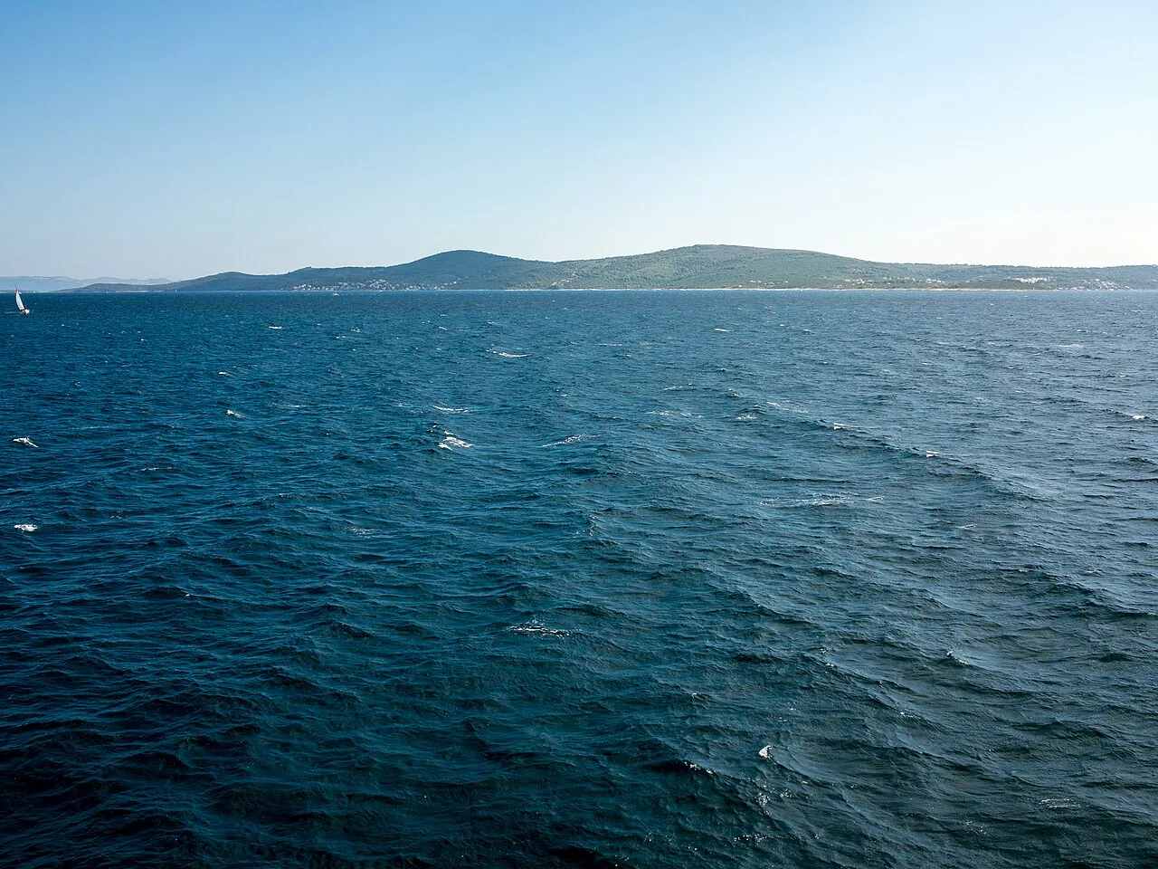
- Elevation
- 237 m
- above sea level
- Local time
- UTC+01:00
- Europe/Zagreb · UTC+01:00
- Population
- 1,479
- 1.5K
- Airports
- SPU Split Saint Jerome Airport18 km
- BWK Brač Airport33 km
About Šolta
Šolta is an island. Location: Split-Dalmatia County, Croatia. Population: 1,479.
Šolta (pronounced [ʃɔ̂ːlta]; Italian: Solta; Latin: Solentium) is an island in Croatia. It is situated in the Adriatic Sea in the central Dalmatian archipelago.
Read more on Wikipedia Text: Wikipedia contributors · CC BY-SA 4.0 · shortened
At a glance
- Area
- 59.2 km²
Source: Wikidata
Climate of Šolta
Best months for sightseeingBest months for sightseeing: May–October.
Bars: average monthly low and high temperature. Below: precipitation. Monthly averages for 1970–2000 at about 18 km resolution, adjusted for elevation. Highlighted months are mild and relatively dry. Source: WorldClim 2.1 (CC BY 4.0).
Show values as a table
| Month | Jan | Feb | Mar | Apr | May | Jun | Jul | Aug | Sep | Oct | Nov | Dec |
|---|---|---|---|---|---|---|---|---|---|---|---|---|
| Average high (°C) | 10° | 11° | 13° | 16° | 21° | 25° | 28° | 28° | 24° | 19° | 14° | 11° |
| Average low (°C) | 5° | 5° | 6° | 9° | 14° | 17° | 20° | 20° | 16° | 13° | 8° | 6° |
| Precipitation (mm) | 67 | 56 | 63 | 59 | 49 | 42 | 26 | 42 | 64 | 78 | 94 | 82 |
Other places to visit in this season: May June July August September October
Airports nearest to Šolta
- Split Saint Jerome Airport (SPU) Split 18 km
- Brač Airport (BWK) Gornji Humac 33 km
- Zadar Airport (ZAD) Zadar 110 km
Straight-line distance; airports with scheduled flights only. Source: OurAirports (public domain).
Nearest towns and villages
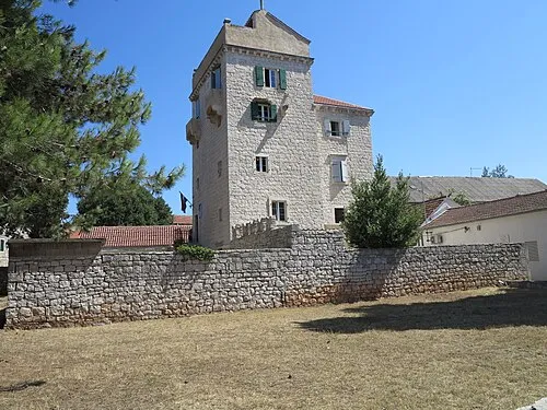
Nearby attractions & nature
Everything nearby-
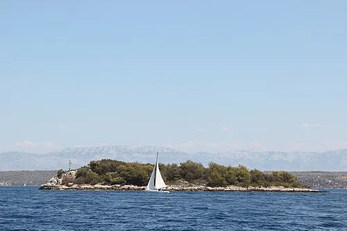 Otok Mrduja Island, Split-Dalmatia County11 km SE
-
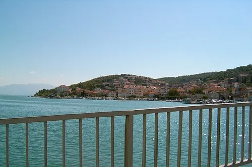 Čiovo Island, Split-Dalmatia County13 km N
-
 Otok Veli Drvenik Island, Split-Dalmatia County14 km NW
-
Otok Mali Drvenik Island, Split-Dalmatia County19 km NW
-
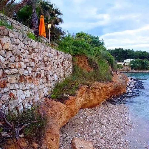 Otok Sveti Klement Island, Split-Dalmatia County25 km S
-
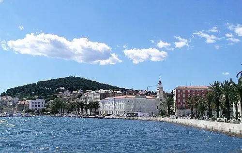 Marjan Mountain, Split-Dalmatia County18 km NE
-
 Port Paludi Natural site, Split-Dalmatia County19 km NE
-
Jadro River, Croatia23 km NE
More lakes, rivers and coasts in Croatia
-
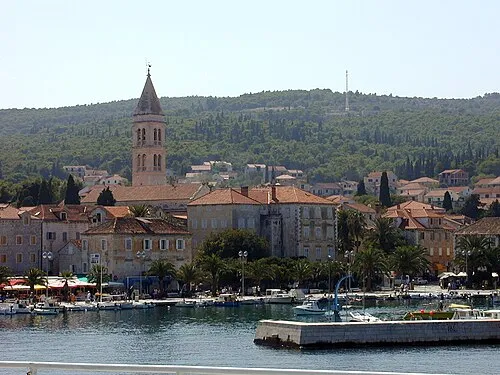 Brač Island, Split-Dalmatia County29 km E
-
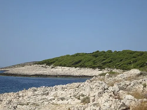 Otok Jerolim Island, Split-Dalmatia County26 km SE
-
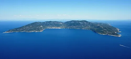 Vis Island, Split-Dalmatia County39 km S
-
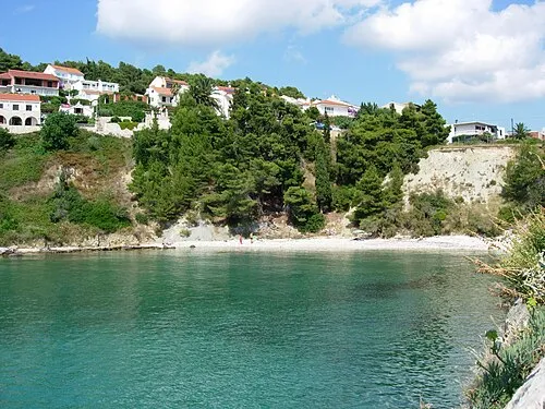 Hvar Island, Split-Dalmatia County44 km SE
-
 Otok Šćedro Island, Municipality of Jelsa46 km SE
-
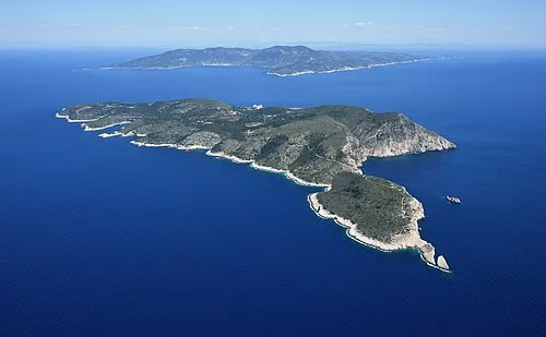 Otok Biševo Island, Split-Dalmatia County50 km SW
Sources & licences
Data last updated: · 2 independent sources