Maslinica
Located in Municipality of Šolta, Split-Dalmatia County Coordinates: 43°23′54″ N 16°12′28″ E
- Population
- 242
- 242
- Elevation
- 5 m
- above sea level
- Local time
- UTC+01:00
- Europe/Zagreb · UTC+01:00
- Airports
- SPU Split Saint Jerome Airport17 km
- BWK Brač Airport40 km
About Maslinica
Maslinica is a village. Location: Municipality of Šolta, Split-Dalmatia County. Population: 242. Elevation: 5 m.
Maslinica is a port village on the island of Šolta in Croatia in the Split-Dalmatia County. It is connected by the D111 highway. Maslinica has 208 inhabitants. The center of the village, the westernmost town of the island, the castle Martinis Marchi, now a luxury hotel with marina for about 60 boats. During the time of the Austro-Hungarian Empire the villages of Šolta still have their Italian names as well as Porto Olivetto. In the 19th century the best wine of the island came from Maslinica.
Source: Wikipedia · CC BY-SA 4.0
At a glance
- Area
- 2.7 km²
Source: Wikidata
Photos of Maslinica
-
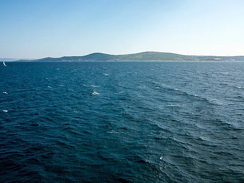
Šolta Joadl · CC BY-SA 3.0 at -

Otok Veli Drvenik Quahadi Añtó 13:14, 29 July 2012 · CC BY-SA 3.0


Population of Maslinica over time
| 2001 | 174 | |
|---|---|---|
| 2011 | 208 | |
| 2021 | 242 |
Censuses and official estimates; source: Wikidata.
Climate of Maslinica
Best months for sightseeingBest months for sightseeing: May–June, September–October.
This month · November
Outside the best season
Day 16° · Night 10° · Rain 94 mm
- Hottest month
- July (day 30°)
- Coldest month
- February (night 6°)
- Wettest month
- November (94 mm)
- Driest month
- July (26 mm)
Bars: average monthly low and high temperature. Below: precipitation. Monthly averages for 1970–2000 at about 18 km resolution, adjusted for elevation. Highlighted months are mild and relatively dry. Source: WorldClim 2.1 (CC BY 4.0).
Show values as a table
| Month | Jan | Feb | Mar | Apr | May | Jun | Jul | Aug | Sep | Oct | Nov | Dec |
|---|---|---|---|---|---|---|---|---|---|---|---|---|
| Average high (°C) | 12° | 12° | 15° | 18° | 23° | 27° | 30° | 30° | 26° | 21° | 16° | 13° |
| Average low (°C) | 6° | 6° | 8° | 11° | 15° | 19° | 21° | 21° | 18° | 14° | 10° | 7° |
| Precipitation (mm) | 67 | 56 | 63 | 59 | 49 | 42 | 26 | 42 | 64 | 78 | 94 | 82 |
Other places to visit in this season: May June September October
How to get to Maslinica
The nearest airport is Split Saint Jerome Airport (SPU), 17 km to the northeast as the crow flies. The nearest large city is Split, 22 km to the northeast.
Airports
- Split Saint Jerome Airport (SPU) Split 17 kmnortheast
- Brač Airport (BWK) Gornji Humac 40 kmeast
- Zadar Airport (ZAD) Zadar 104 kmnorthwest
Nearby large cities
- Split Population: 149.8K 22 kmnortheast
- Rijeka Population: 108K 256 kmnorthwest
- Zagreb Population: 663.6K 269 kmnorth
- Ljubljana Population: 272.2K 324 kmnorthwest
- Pécs Population: 145.3K 338 kmnortheast
Straight-line distances; road distances are longer. Airport data: OurAirports.
Day trips from Maslinica
Within 100 km: 8 historic and cultural sites, 13 natural sites, 52 lakes, rivers and coasts.
0–25 km8 places
- Šolta Island 7 kmE
- Otok Mali Drvenik Island 12 kmNW
- Otok Veli Drvenik Island 7 kmNW
- Diocletian's Palace Historic site 23 kmNE
25–60 km34 places
- Brač Island 36 kmE
- Otok Prvić Island 50 kmNW
- Otok Zlarin Island 44 kmNW
- Otok Kaprije Island 52 kmNW
60–100 km31 places
- Lagosta Island Island 90 kmSE
- Skrivena Luka Natural site 91 kmSE
- Kornat Island 87 kmNW
- Otok Žut Island 89 kmNW
Straight-line distances.
Nearby attractions & nature
Everything nearby-
Šolta Island, Split-Dalmatia County7 km E
-
Otok Veli Drvenik Island, Split-Dalmatia County7.2 km NW
-
Otok Mali Drvenik Island, Split-Dalmatia County12 km NW
-
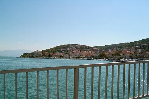 Čiovo Island, Split-Dalmatia County13 km NE
-
Diocletian's Palace Historic site, Croatia23 km NE
-
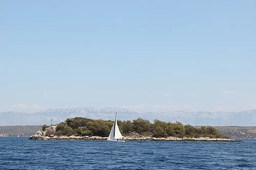 Otok Mrduja Island, Split-Dalmatia County18 km SE
Sources & licences
Data last updated: · 2 independent sources