Odolena Voda
Located in Okres Praha-východ, Central Bohemia Coordinates: 50°14′13″ N 14°24′54″ E
- Elevation
- 225 m
- above sea level
- Local time
- UTC+01:00
- Europe/Prague · UTC+01:00
- Places inside
- 3
- listed under Odolena Voda
- Airports
- PRG Václav Havel Airport Prague19 km
- PED Pardubice Airport98 km
About Odolena Voda
Odolena Voda is a municipality. Location: Okres Praha-východ, Central Bohemia. Elevation: 225 m. The best months to visit are May–September. The nearest airport is Václav Havel Airport Prague (19 km). Nearby sights include Jungfern Breschan Concentration Camp and Prague Zoo.
Climate of Odolena Voda
Best months for sightseeingBest months for sightseeing: May–September.
This month · November
A cold month
Day 7° · Night 2° · Rain 32 mm
- Hottest month
- August (day 24°)
- Coldest month
- January (night -3°)
- Wettest month
- July (75 mm)
- Driest month
- February (21 mm)
Bars: average monthly low and high temperature. Below: precipitation. Monthly averages for 1970–2000 at about 18 km resolution, adjusted for elevation. Highlighted months are mild and relatively dry. Source: WorldClim 2.1 (CC BY 4.0).
Show values as a table
| Month | Jan | Feb | Mar | Apr | May | Jun | Jul | Aug | Sep | Oct | Nov | Dec |
|---|---|---|---|---|---|---|---|---|---|---|---|---|
| Average high (°C) | 2° | 4° | 9° | 14° | 20° | 22° | 24° | 24° | 19° | 13° | 7° | 4° |
| Average low (°C) | -3° | -2° | 1° | 4° | 9° | 12° | 14° | 13° | 10° | 5° | 2° | -1° |
| Precipitation (mm) | 24 | 21 | 30 | 27 | 66 | 68 | 75 | 68 | 41 | 32 | 32 | 27 |
Other places to visit in this season: May June July August September
How to get to Odolena Voda
The nearest airport is Václav Havel Airport Prague (PRG), 19 km to the southwest as the crow flies. The nearest large city is Prague, 17 km to the south.
Airports
- Václav Havel Airport Prague (PRG) Prague 19 kmsouthwest
- Pardubice Airport (PED) Pardubice 98 kmeast
- Karlovy Vary Airport (KLV) Karlovy Vary 107 kmwest
Nearby large cities
- Prague Population: 1.2M 17 kmsouth
- Dresden Population: 564.9K 102 kmnorthwest
- Chemnitz Population: 247.2K 125 kmnorthwest
- Gera Population: 104.7K 180 kmnorthwest
- Leipzig Population: 505K 189 kmnorthwest
Straight-line distances; road distances are longer. Airport data: OurAirports.
Day trips from Odolena Voda
Within 100 km: 87 historic and cultural sites, 897 natural sites, 78 lakes, rivers and coasts.
0–25 km19 places
- Slovanský ostrov Island 17 kmS
- Dětský ostrov Island 18 kmS
- Veslařský ostrov Island 20 kmS
- Vinice Mountain 23 kmNW
25–60 km112 places
- Lysá Mountain 44 kmNE
- Hořidla Mountain 35 kmN
- Hořice Mountain 26 kmN
- Holý vrch Mountain 57 kmSW
60–100 km931 places
- Erzgebirge Mountain 85 kmNW
- Pirna-Sonnenstein Mountain 86 kmN
- Tvarožník Mountain 99 kmNE
- Vosí vrch Mountain 73 kmN
Straight-line distances.
Places in Odolena Voda
3 placesOdolena Voda
Population: 6.6K

Dolínek
Population: 1K

Čenkov
Population: 89
Nearby attractions & nature
Everything nearby-
Jungfern Breschan Concentration Camp Historic site, Panenské Břežany3 km SE
-
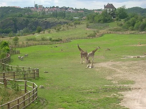 Prague Zoo Attraction, Praha-Troja13 km S
-
Charles Bridge Landmark, Praha 117 km S
-
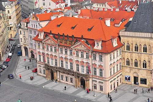 Kinsky Palace Historic site, Praha 117 km S
-
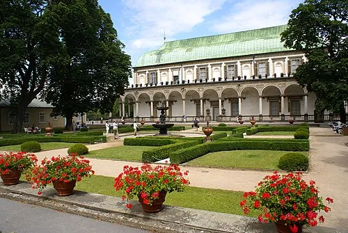 Letohrádek královny Anny Historic site, Praha 116 km S
-
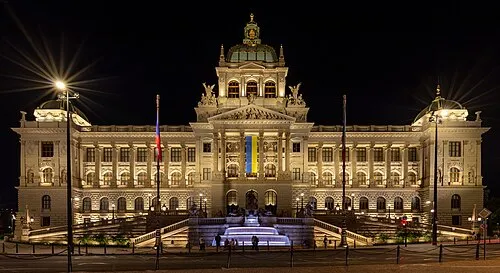 National Museum Museum, Praha 118 km S
-
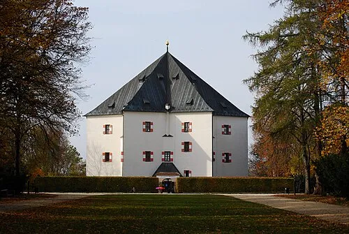 Letohrádek Hvězda Historic site, Praha 618 km S
-
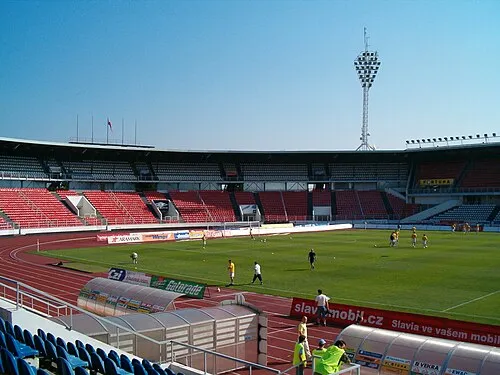 Stadion Evžena Rošického Landmark, Praha 618 km S
Sources & licences
Data last updated: