Gabersdorf Concentration Camp
Located in Trutnov, Trutnov District Coordinates: 50°36′04″ N 15°55′54″ E
- Local time
- UTC+01:00
- Europe/Prague · UTC+01:00
- Elevation
- 437 m
- above sea level
- Airports
- PED Pardubice Airport67 km
- WRO Copernicus Wrocław Airport87 km
About Gabersdorf Concentration Camp
Gabersdorf Concentration Camp is a historic site. Location: Trutnov, Trutnov District.
The Gabersdorf forced labour camp (also known as Wolta or Wolta-Gabersdorf), later a Nazi concentration camp, was located at Libeč (today part of Trutnov) in Czechoslovakia. In the camp, Jewish women were detained who worked at the textile factories of Hasse and company, Etrich, and Vereinigte Textilwerke K. H. Barthel. The camp was established in 1941 and became a subcamp of Gross-Rosen on 22 March 1944. According to a survivor, there were about 70 women in one barracks.
Source: Wikipedia · CC BY-SA 4.0
Photos of Gabersdorf Concentration Camp
-
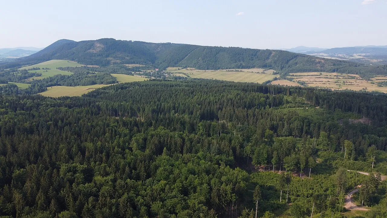
Końska Mateusz Małkowski · CC BY-SA 4.0 -
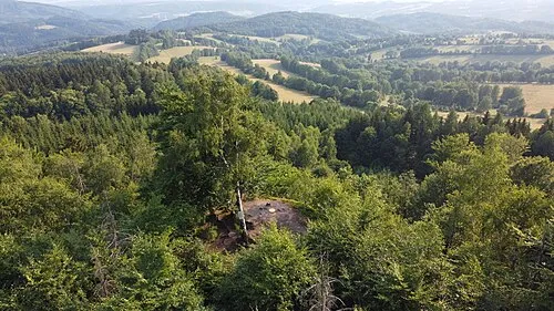
Jański Wierch Mateusz Małkowski · CC BY-SA 4.0 -
Královecký Špičák Matěj Čadil · CC BY-SA 3.0 -
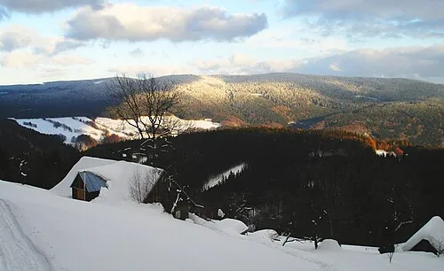
Rýchory Ralf_Hartau · CC BY-SA 3.0 -
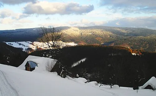
Dvorský les Ralf_Hartau · CC BY-SA 3.0


Climate of Gabersdorf Concentration Camp
Best months for sightseeingBest months for sightseeing: June–September.
This month · November
A cold month
Day 5° · Night 0° · Rain 39 mm
- Hottest month
- July (day 21°)
- Coldest month
- January (night -6°)
- Wettest month
- July (86 mm)
- Driest month
- February (27 mm)
Bars: average monthly low and high temperature. Below: precipitation. Monthly averages for 1970–2000 at about 18 km resolution, adjusted for elevation. Highlighted months are mild and relatively dry. Source: WorldClim 2.1 (CC BY 4.0).
Show values as a table
| Month | Jan | Feb | Mar | Apr | May | Jun | Jul | Aug | Sep | Oct | Nov | Dec |
|---|---|---|---|---|---|---|---|---|---|---|---|---|
| Average high (°C) | -1° | 1° | 6° | 12° | 17° | 20° | 21° | 21° | 17° | 12° | 5° | 1° |
| Average low (°C) | -6° | -5° | -1° | 2° | 6° | 10° | 11° | 11° | 8° | 4° | 0° | -4° |
| Precipitation (mm) | 29 | 27 | 33 | 41 | 63 | 82 | 86 | 75 | 48 | 40 | 39 | 37 |
Other places to visit in this season: June July August September
How to get to Gabersdorf Concentration Camp
The nearest airport is Pardubice Airport (PED), 67 km to the south as the crow flies. The nearest large city is Prague, 122 km to the southwest.
Airports
- Pardubice Airport (PED) Pardubice 67 kmsouth
- Copernicus Wrocław Airport (WRO) Wrocław 87 kmnortheast
- Václav Havel Airport Prague (PRG) Prague 131 kmsouthwest
Nearby large cities
- Prague Population: 1.2M 122 kmsouthwest
- Dresden Population: 564.9K 162 kmwest
- Brno Population: 404.3K 164 kmsouth
- Chemnitz Population: 247.2K 214 kmwest
- Leipzig Population: 505K 263 kmwest
Straight-line distances; road distances are longer. Airport data: OurAirports.
Day trips from Gabersdorf Concentration Camp
Within 100 km: 75 historic and cultural sites, 614 natural sites, 11 lakes, rivers and coasts.
0–25 km97 places
- Bielec Mountain 25 kmN
- Parkowa Mountain 24 kmN
- Czuba Mountain 21 kmNE
- Długosz Mountain 18 kmNE
25–60 km248 places
- Tvarožník Mountain 36 kmNW
- Jastrzębiec Mountain 43 kmNW
- Ptak Mountain 33 kmSE
- Kłobuk Mountain 49 kmSE
60–100 km355 places
- Lysá Mountain 80 kmW
- Sucha Kopa Mountain 81 kmSE
- Goworek Mountain 77 kmSE
- Zigeunerberg Mountain 86 kmW
Straight-line distances.
Nearby attractions & nature
Everything nearby-
Parschnitz Concentration Camp Historic site, Trutnov3.3 km S
-
Obere Altstadt Concentration Camp Historic site, Trutnov4.2 km SW
-
Jański Wierch Mountain, Gmina Lubawka4.2 km E
-
Bausnitz Concentration Camp Historic site, Trutnov6.5 km SE
-
Dvorský les Mountain, Žacléř7.2 km NW
-
Schatzlar Concentration Camp Historic site, Žacléř7.1 km N
-
Rýchory Mountain, Hradec Králové Region7.2 km NW
-
Královecký Špičák Mountain, Královec7.5 km NE
Nearest towns and villages


Sources & licences
Data last updated: · 2 independent sources