Havířov
Located in Okres Karviná, Moravian-Silesian Region Coordinates: 49°47′11″ N 18°26′26″ E
- Elevation
- 270 m
- above sea level
- Local time
- UTC+01:00
- Europe/Prague · UTC+01:00
- Places inside
- 2
- listed under Havířov
- Airports
- OSR Leoš Janáček Airport Ostrava26 km
- KTW Katowice Wojciech Korfanty International Airport89 km
About Havířov
Havířov is a municipality. Location: Okres Karviná, Moravian-Silesian Region. Elevation: 270 m. The best months to visit are May–September. The nearest airport is Leoš Janáček Airport Ostrava (26 km). Nearby sights include Gora Chełm and Golleschau Concentration Camp.
Climate of Havířov
Best months for sightseeingBest months for sightseeing: May–September.
This month · November
A cold month
Day 7° · Night 0° · Rain 49 mm
- Hottest month
- July (day 24°)
- Coldest month
- January (night -5°)
- Wettest month
- July (100 mm)
- Driest month
- January (32 mm)
Bars: average monthly low and high temperature. Below: precipitation. Monthly averages for 1970–2000 at about 18 km resolution, adjusted for elevation. Highlighted months are mild and relatively dry. Source: WorldClim 2.1 (CC BY 4.0).
Show values as a table
| Month | Jan | Feb | Mar | Apr | May | Jun | Jul | Aug | Sep | Oct | Nov | Dec |
|---|---|---|---|---|---|---|---|---|---|---|---|---|
| Average high (°C) | 2° | 3° | 8° | 13° | 19° | 22° | 24° | 24° | 19° | 14° | 7° | 3° |
| Average low (°C) | -5° | -4° | -1° | 3° | 8° | 11° | 12° | 12° | 9° | 5° | 0° | -3° |
| Precipitation (mm) | 32 | 33 | 38 | 54 | 82 | 99 | 100 | 90 | 67 | 48 | 49 | 42 |
Other places to visit in this season: May June July August September
How to get to Havířov
The nearest airport is Leoš Janáček Airport Ostrava (OSR), 26 km to the southwest as the crow flies. The nearest large city is Brno, 148 km to the southwest.
Airports
- Leoš Janáček Airport Ostrava (OSR) Mošnov 26 kmsouthwest
- Katowice Wojciech Korfanty International Airport (KTW) Katowice 89 kmnortheast
- Kraków John Paul II International Airport (KRK) Balice 102 kmeast
Nearby large cities
- Brno Population: 404.3K 148 kmsouthwest
- Bratislava Population: 423.7K 207 kmsouthwest
- Košice Population: 225K 237 kmsoutheast
- Győr Population: 129.3K 241 kmsouth
- Miskolc Population: 154.5K 254 kmsoutheast
Straight-line distances; road distances are longer. Airport data: OurAirports.
Day trips from Havířov
Within 100 km: 48 historic and cultural sites, 300 natural sites, 5 lakes, rivers and coasts.
0–25 km6 places
- Górka Wislicka Mountain 24 kmE
- Gora Chełm Mountain 22 kmE
- Ropička Mountain 21 kmSE
- Kykulka Mountain 24 kmS
25–60 km151 places
- Korňa River 43 kmS
- Gírová Mountain 38 kmSE
- Beskid Żywiecki Mountain 60 kmSE
- Beskid Śląski Mountain 49 kmSE
60–100 km196 places
- Veľký Kriváň Mountain 79 kmSE
- Strážov Mountain 92 kmS
- Chleb Mountain 80 kmSE
- Orava Castle Historic site 88 kmSE
Straight-line distances.
Places in Havířov
2 places
Nearby attractions & nature
Everything nearby-
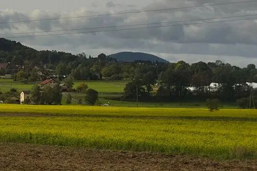 Gora Chełm Mountain, Gmina Goleszów22 km E
-
Golleschau Concentration Camp Historic site, Gmina Goleszów22 km E
-
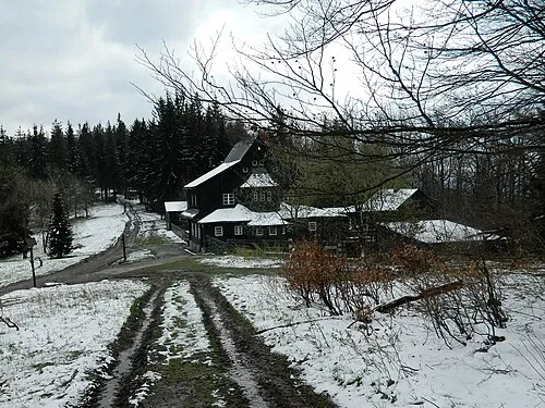 Ropička Mountain, Morávka21 km SE
-
Kyčera Mountain, Krásná22 km S
-
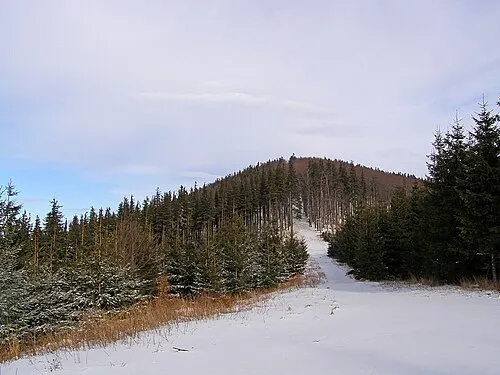 Kykulka Mountain, Malenovice24 km S
-
Górka Wislicka Mountain, Skoczów24 km E
Sources & licences
Data last updated: