- Population
- 11,202
- 11.2K
- Elevation
- 289 m
- above sea level
- Local time
- UTC+01:00
- Europe/Prague · UTC+01:00
- Airports
- BRQ Brno-Tuřany Airport7 km
- PED Pardubice Airport112 km
About Brno-Vinohrady
Brno-Vinohrady is a town. Location: Brno, Město Brno. Population: 11,202. Elevation: 289 m. The best months to visit are May–September. The nearest airport is Brno-Tuřany Airport (7 km). Nearby sights include Obřanské Hradisko and Čtvrtě.
Photos of Brno-Vinohrady
-
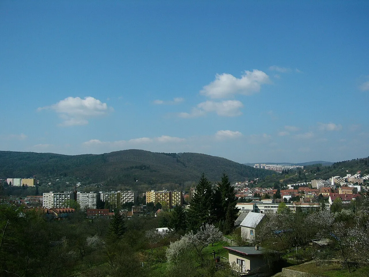
Palackého vrch Vlastní · CC0 -
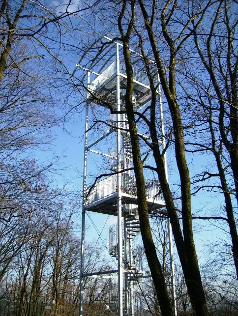
Ostrá horka Ojin · CC BY-SA 3.0 -
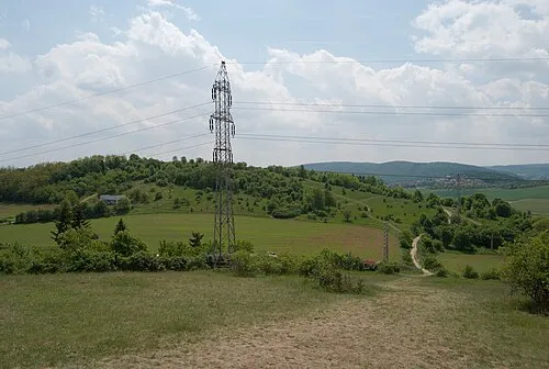
Střelecký kopec [Brno-Královo Pole] Kirk · CC BY-SA 3.0 -
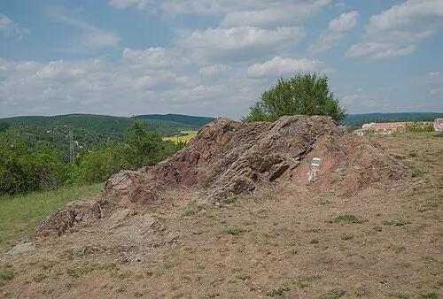
Medlánecký kopec[Brno-Medlánky] Kirk · CC BY-SA 3.0 -
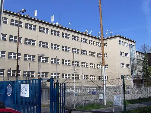
Brünn Concentration Camp Harold · CC BY-SA 3.0


Climate of Brno-Vinohrady
Best months for sightseeingBest months for sightseeing: May–September.
This month · November
A cold month
Day 6° · Night 1° · Rain 38 mm
- Hottest month
- July (day 24°)
- Coldest month
- January (night -4°)
- Wettest month
- June (80 mm)
- Driest month
- January (24 mm)
Bars: average monthly low and high temperature. Below: precipitation. Monthly averages for 1970–2000 at about 18 km resolution, adjusted for elevation. Highlighted months are mild and relatively dry. Source: WorldClim 2.1 (CC BY 4.0).
Show values as a table
| Month | Jan | Feb | Mar | Apr | May | Jun | Jul | Aug | Sep | Oct | Nov | Dec |
|---|---|---|---|---|---|---|---|---|---|---|---|---|
| Average high (°C) | 1° | 3° | 8° | 14° | 19° | 22° | 24° | 24° | 19° | 13° | 6° | 2° |
| Average low (°C) | -4° | -3° | 0° | 4° | 9° | 12° | 13° | 13° | 10° | 5° | 1° | -3° |
| Precipitation (mm) | 24 | 24 | 27 | 33 | 58 | 80 | 72 | 55 | 43 | 31 | 38 | 30 |
Other places to visit in this season: May June July August September
How to get to Brno-Vinohrady
The nearest airport is Brno-Tuřany Airport (BRQ), 7 km to the south as the crow flies. For international flights: Pardubice Airport (PED) (112 km). The nearest large city is Brno, 4 km to the west.
Airports
- Brno-Tuřany Airport (BRQ) Brno 7 kmsouth
- Pardubice Airport (PED) Pardubice 112 kmnorthwest
- Leoš Janáček Airport Ostrava (OSR) Mošnov 118 kmnortheast
Nearby large cities
- Brno Population: 404.3K 4 kmwest
- Bratislava Population: 423.7K 122 kmsouth
- Győr Population: 129.3K 184 kmsoutheast
- Prague Population: 1.2M 189 kmnorthwest
- Linz Population: 204.8K 201 kmsouthwest
Straight-line distances; road distances are longer. Airport data: OurAirports.
Day trips from Brno-Vinohrady
Within 100 km: 123 historic and cultural sites, 1,288 natural sites, 224 lakes, rivers and coasts.
0–25 km64 places
- Zlobica Mountain 17 kmNW
- Vrtačka Mountain 15 kmW
- Vlčí Kopec Mountain 18 kmSW
- Vinohrady Mountain 20 kmSE
25–60 km291 places
- Chvojnica River 56 kmSE
- Waldbergen Mountain 59 kmS
- Schatzberg Mountain 59 kmSW
- Sandbergen Mountain 55 kmS
60–100 km1,280 places
- Královský vršek Mountain 82 kmW
- Záruby Mountain 93 kmSE
- Klokoč Mountain 94 kmSE
- Plavecký hrad Historic site 91 kmSE
Straight-line distances.
Nearby attractions & nature
Everything nearby-
Obřanské Hradisko Mountain, Brno3.1 km N
-
Čtvrtě Mountain, Brno3.2 km E
-
Anaklety Mountain, Brno4.9 km NE
-
Sadová Mountain, Brno5.1 km NW
-
Ostrá horka Mountain, Brno5.5 km NW
-
Zaječí hora Mountain, Brno5.2 km NW
-
Brünn Concentration Camp Historic site, Brno4.3 km W
-
Kanický kopec Mountain, Kanice5.2 km NE
Other cities and towns in Brno
-
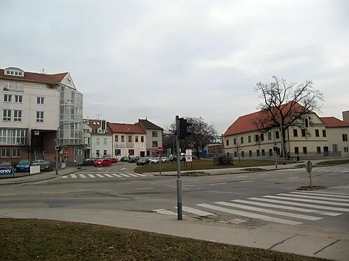 Brno-Královo Pole Town, Brno5.7 km W
-
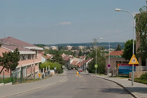 Brno-Řečkovice a Mokrá Hora Town, Brno7.8 km NW
-
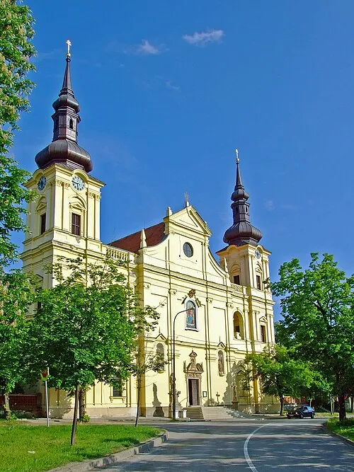 Brno-Tuřany Town, Brno6.6 km S
-
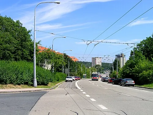 Brno-Kohoutovice Town, Brno9 km W
-
Brno-střed Town, Brno4.3 km W
-
Brno-Černovice Town, Brno3.3 km SW
Sources & licences
Data last updated: