
- Population
- 2,612
- 2.6K
- Elevation
- 286 m
- above sea level
- Local time
- UTC+01:00
- Europe/Prague · UTC+01:00
- Airports
- BRQ Brno-Tuřany Airport14 km
- PED Pardubice Airport104 km
About Mokrá Hora
Mokrá Hora is a village. Location: Brno, Město Brno. Population: 2,612. Elevation: 286 m.
Mokrá Hora is a municipal part and cadastral territory in the north part of Brno, Czech Republic part of the city district of Brno-Řečkovice a Mokrá Hora. Mokrá Hora was originally an independent municipality that was annexed to Brno in 1960. It has an area of 0.88 km2 (0.34 sq mi), and as such it is the smallest cadastral territory of Brno in terms of area. About 865 people live here. It is located above the Ponávka river, on the edge of the forested area of Soběšická vrchovina.
Source: Wikipedia · CC BY-SA 4.0
At a glance
- Area
- 88 ha
Source: Wikidata
Photos of Mokrá Hora
-

Veronika.kasparkova · CC BY-SA 3.0 -

Kirk · CC BY-SA 3.0 -

Kirk · CC BY-SA 3.0 -
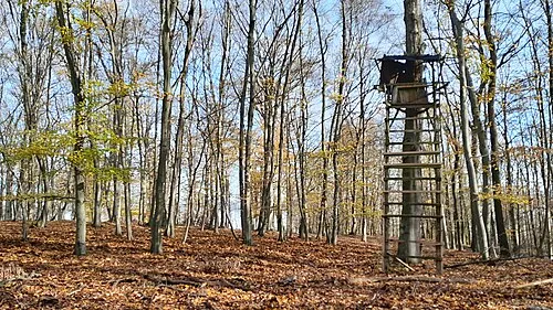
Sychrov [Kuřim] Veronika.kasparkova · CC BY-SA 4.0 -
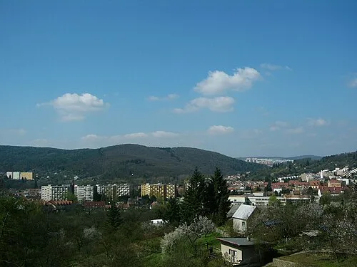
Palackého vrch Vlastní · CC0


Population of Mokrá Hora over time
| 1900 | 343 | |
|---|---|---|
| 1910 | 373 | |
| 1921 | 470 | |
| 1930 | 598 | |
| 1950 | 597 | |
| 1961 | 710 | |
| 1970 | 672 | |
| 1980 | 620 | |
| 1991 | 588 | |
| 2001 | 687 | |
| 2011 | 901 | |
| 2021 | 865 |
Censuses and official estimates; source: Wikidata.
Climate of Mokrá Hora
Best months for sightseeingBest months for sightseeing: May–September.
This month · November
A cold month
Day 6° · Night 1° · Rain 38 mm
- Hottest month
- July (day 24°)
- Coldest month
- January (night -4°)
- Wettest month
- June (80 mm)
- Driest month
- January (24 mm)
Bars: average monthly low and high temperature. Below: precipitation. Monthly averages for 1970–2000 at about 18 km resolution, adjusted for elevation. Highlighted months are mild and relatively dry. Source: WorldClim 2.1 (CC BY 4.0).
Show values as a table
| Month | Jan | Feb | Mar | Apr | May | Jun | Jul | Aug | Sep | Oct | Nov | Dec |
|---|---|---|---|---|---|---|---|---|---|---|---|---|
| Average high (°C) | 1° | 3° | 8° | 14° | 19° | 22° | 24° | 24° | 19° | 13° | 6° | 2° |
| Average low (°C) | -4° | -3° | 0° | 4° | 9° | 12° | 13° | 13° | 10° | 5° | 1° | -3° |
| Precipitation (mm) | 24 | 24 | 27 | 33 | 58 | 80 | 72 | 55 | 43 | 31 | 38 | 30 |
Other places to visit in this season: May June July August September
How to get to Mokrá Hora
The nearest airport is Brno-Tuřany Airport (BRQ), 14 km to the southeast as the crow flies. For international flights: Pardubice Airport (PED) (104 km). The nearest large city is Brno, 8 km to the south.
Airports
- Brno-Tuřany Airport (BRQ) Brno 14 kmsoutheast
- Pardubice Airport (PED) Pardubice 104 kmnorthwest
- Leoš Janáček Airport Ostrava (OSR) Mošnov 120 kmnortheast
Nearby large cities
- Brno Population: 404.3K 8 kmsouth
- Bratislava Population: 423.7K 130 kmsouth
- Prague Population: 1.2M 182 kmnorthwest
- Győr Population: 129.3K 192 kmsoutheast
- Linz Population: 204.8K 200 kmsouthwest
Straight-line distances; road distances are longer. Airport data: OurAirports.
Day trips from Mokrá Hora
Within 100 km: 117 historic and cultural sites, 1,304 natural sites, 212 lakes, rivers and coasts.
0–25 km70 places
- Zlobica Mountain 9 kmNW
- Vrtačka Mountain 9 kmW
- Vlčí Kopec Mountain 17 kmSW
- Urban Mountain 24 kmSE
25–60 km234 places
- Sandbergen Mountain 60 kmS
- Raistenberg Mountain 60 kmS
- Lange Wart Mountain 52 kmS
- Kölbl Mountain 58 kmS
60–100 km1,329 places
- Královský vršek Mountain 75 kmW
- Chvojnica River 64 kmSE
- Plavecký hrad Historic site 99 kmSE
- Křížový Mountain 98 kmE
Straight-line distances.
Nearby attractions & nature
Everything nearby-
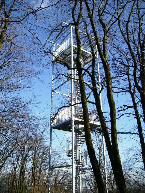 Ostrá horka Mountain, Brno2.7 km SE
-
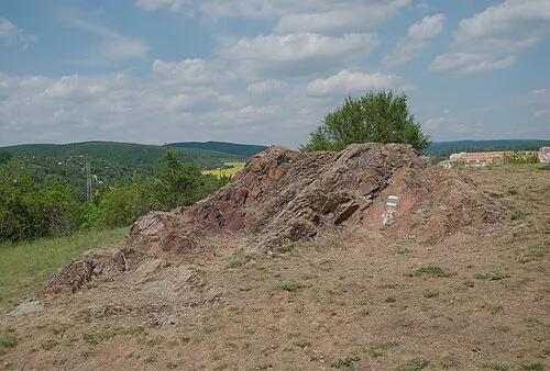 Medlánecký kopec[Brno-Medlánky] Mountain, Brno3.1 km SW
-
Sadová Mountain, Brno3 km SE
-
Zaječí hora Mountain, Brno3 km SE
-
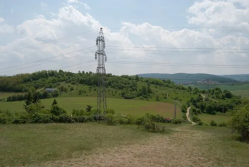 Střelecký kopec [Brno-Královo Pole] Mountain, Brno3.5 km SW
-
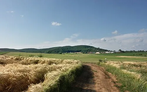 Velká Baba Mountain, Jinačovice3 km W
Other cities and towns in Brno
-
 Lesná Neighbourhood, Brno4.7 km SE
-
 Černá Pole Neighbourhood, Brno6.1 km S
-
 Veveří Neighbourhood, Brno6.6 km S
-
 Ponava Neighbourhood, Brno5.4 km S
-
 Husovice Neighbourhood, Brno6.3 km SE
-
 Zábrdovice Neighbourhood, Brno7.3 km S
Sources & licences
Data last updated: · 2 independent sources