Cítoliby
Located in Louny District, Ústí nad Labem Region Coordinates: 50°20′07″ N 13°48′25″ E
- Elevation
- 248 m
- above sea level
- Local time
- UTC+01:00
- Europe/Prague · UTC+01:00
- Places inside
- 1
- listed under Cítoliby
- Airports
- PRG Václav Havel Airport Prague42 km
- KLV Karlovy Vary Airport65 km
About Cítoliby
Cítoliby is a municipality. Location: Louny District, Ústí nad Labem Region. Elevation: 248 m. The best months to visit are May–September. The nearest airport is Václav Havel Airport Prague (42 km). Nearby sights include Oblík and Brník.
Climate of Cítoliby
Best months for sightseeingBest months for sightseeing: May–September.
This month · November
A cold month
Day 7° · Night 1° · Rain 42 mm
- Hottest month
- July (day 24°)
- Coldest month
- January (night -4°)
- Wettest month
- July (85 mm)
- Driest month
- February (34 mm)
Bars: average monthly low and high temperature. Below: precipitation. Monthly averages for 1970–2000 at about 18 km resolution, adjusted for elevation. Highlighted months are mild and relatively dry. Source: WorldClim 2.1 (CC BY 4.0).
Show values as a table
| Month | Jan | Feb | Mar | Apr | May | Jun | Jul | Aug | Sep | Oct | Nov | Dec |
|---|---|---|---|---|---|---|---|---|---|---|---|---|
| Average high (°C) | 2° | 4° | 9° | 14° | 20° | 22° | 24° | 24° | 19° | 13° | 7° | 3° |
| Average low (°C) | -4° | -3° | 0° | 4° | 8° | 11° | 13° | 13° | 9° | 5° | 1° | -2° |
| Precipitation (mm) | 37 | 34 | 45 | 36 | 64 | 76 | 85 | 71 | 48 | 45 | 42 | 42 |
Other places to visit in this season: May June July August September
How to get to Cítoliby
The nearest airport is Václav Havel Airport Prague (PRG), 42 km to the southeast as the crow flies. The nearest large city is Prague, 52 km to the southeast.
Airports
- Václav Havel Airport Prague (PRG) Prague 42 kmsoutheast
- Karlovy Vary Airport (KLV) Karlovy Vary 65 kmwest
- Dresden Airport (DRS) Dresden 89 kmnorth
Nearby large cities
- Prague Population: 1.2M 52 kmsoutheast
- Dresden Population: 564.9K 80 kmnorth
- Chemnitz Population: 247.2K 83 kmnorthwest
- Gera Population: 104.7K 136 kmnorthwest
- Leipzig Population: 505K 151 kmnorthwest
Straight-line distances; road distances are longer. Airport data: OurAirports.
Day trips from Cítoliby
Within 100 km: 204 historic and cultural sites, 1,356 natural sites, 181 lakes, rivers and coasts.
0–25 km25 places
- Vinice Mountain 23 kmE
- Stráň Mountain 12 kmS
- Skalky Mountain 22 kmE
- Ostrý Mountain 24 kmNE
25–60 km405 places
- Hořidla Mountain 40 kmNE
- Stoličná Mountain 51 kmW
- Svatý Prokop Landmark 36 kmSW
- Rückhaltebecken Reinhardtsgrimma Lake 59 kmN
60–100 km1,311 places
- Erzgebirge Mountain 62 kmN
- Pirna-Sonnenstein Mountain 69 kmN
- Lysá Mountain 74 kmE
- Vosí vrch Mountain 75 kmNE
Straight-line distances.
Places in Cítoliby
1 placeBar: population relative to the most populous place in this list.
Nearby attractions & nature
Everything nearby-
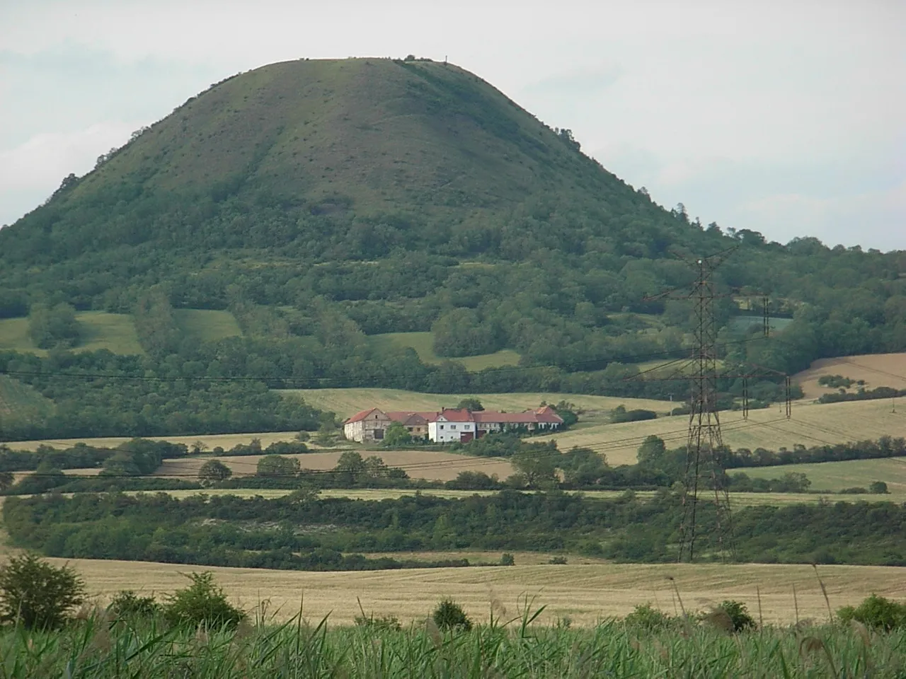 Oblík Mountain, Raná8.4 km N
-
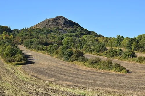 Brník Mountain, Libčeves9.4 km N
-
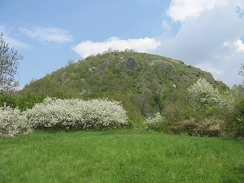 Milá Mountain, Bečov12 km N
-
Stráň Mountain, Milý12 km S
-
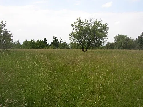 Hradišťany Mountain, Hrobčice20 km N
-
Líska Mountain, Libčeves15 km N
-
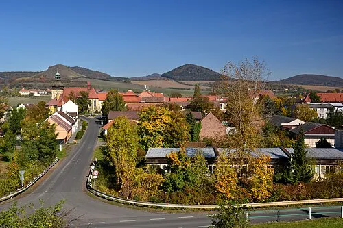 Hradišt'ko Mountain, Libčeves16 km N
-
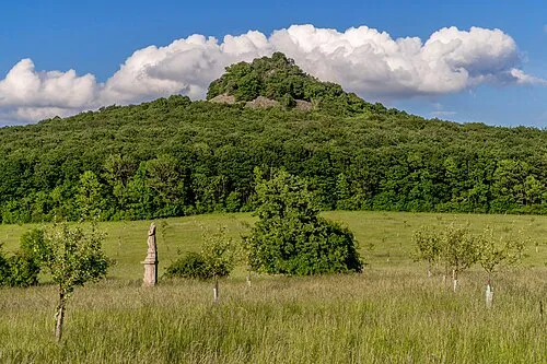 Ostrý Mountain, Velemín24 km NE
Sources & licences
Data last updated: