Brejning
Located in Vejle Kommune, Region South Denmark Coordinates: 55°39′57″ N 9°40′20″ E
- Population
- 2,220
- 2.2K
- Elevation
- 48 m
- above sea level
- Local time
- UTC+01:00
- Europe/Copenhagen · UTC+01:00
About Brejning
Brejning is a village. Location: Vejle Kommune, Region South Denmark. Population: 2,220. Elevation: 48 m.
Brejning is a railway town in Vejle Municipality, Region of Southern Denmark in Denmark, with a population of 3,149 (1 January 2026). It is located at the southern shore of Vejle Fjord 3 km northeast of Børkop. Brejning is located at the Fredericia–Aarhus railway line and is served by Brejning railway station. Brejning Church, designed in 1941 by architect Mogens Koch, was inaugurated in 1967 as an affiliated church in Gauerslund Parish.
Read more on Wikipedia Text: Wikipedia contributors · CC BY-SA 4.0 · shortened
In comparison
- No. 6 of 8 places in Vejle Kommune by population
- Nearest larger town: Børkop, 3 km SW
Airports nearest to Brejning
- Billund Airport (BLL) Billund 33 km
- Odense Hans Christian Andersen Airport (ODE) Odense 46 km
- Esbjerg Airport (EBJ) Esbjerg 72 km
Straight-line distance; airports with scheduled flights only. Source: OurAirports (public domain).
Nearby attractions & nature
Everything nearby-
Hathøj Mountain, Vejle Kommune4 km W
-
Bavnbjerg Mountain, Vejle Kommune13 km NW
-
Grejs Dal Natural site, Vejle Kommune13 km NW
-
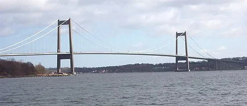 Little Belt Bridge Landmark, Region South Denmark17 km S
-
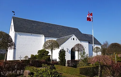 Hover Kirke Attraction, Vejle Kommune14 km NW
-
Elbo Dal Natural site, Fredericia Kommune10 km S
Sources & licences
Data last updated: · 2 independent sources