Arrondissement de Die
Located in Drôme, Auvergne-Rhône-Alpes Coordinates: 44°44′32″ N 5°17′45″ E
- Population
- 68,965
- 69K
- Elevation
- 721 m
- above sea level
- Local time
- UTC+01:00
- Europe/Paris · UTC+01:00
- Places inside
- 111
- listed under Arrondissement de Die
- Airports
- GNB Grenoble Alpes Isère Airport69 km
- AVN Avignon Caumont airport98 km
About Arrondissement de Die
Arrondissement de Die is a municipality. Location: Drôme, Auvergne-Rhône-Alpes. Population: 68,965. Elevation: 721 m. The best months to visit are June–September. The nearest airport is Grenoble Alpes Isère Airport (69 km). Nearby sights include Suze and Diois.
Photos of Arrondissement de Die
-
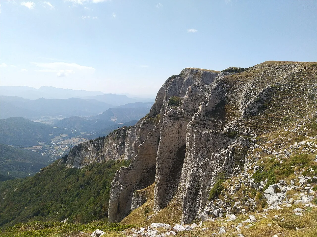
But Sapiau Nouill · CC BY-SA 4.0 -
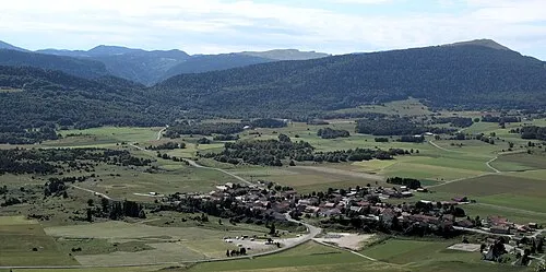
Montagne de Nève peupleloup · CC BY-SA 2.0 -
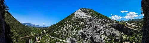
Pic de Luc Ulysse Bellier · CC BY 2.0 -
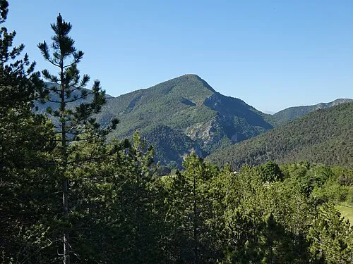
Montagne de Faraud Romainbehar · CC0 -
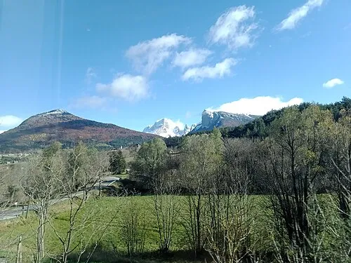
Montagne de Clairet Rémih · CC BY-SA 4.0


Climate of Arrondissement de Die
Best months for sightseeingBest months for sightseeing: June–September.
This month · November
A cold month
Day 9° · Night 1° · Rain 99 mm
- Hottest month
- July (day 26°)
- Coldest month
- January (night -2°)
- Wettest month
- October (115 mm)
- Driest month
- July (52 mm)
Bars: average monthly low and high temperature. Below: precipitation. Monthly averages for 1970–2000 at about 18 km resolution, adjusted for elevation. Highlighted months are mild and relatively dry. Source: WorldClim 2.1 (CC BY 4.0).
Show values as a table
| Month | Jan | Feb | Mar | Apr | May | Jun | Jul | Aug | Sep | Oct | Nov | Dec |
|---|---|---|---|---|---|---|---|---|---|---|---|---|
| Average high (°C) | 5° | 7° | 10° | 13° | 18° | 22° | 26° | 25° | 21° | 15° | 9° | 6° |
| Average low (°C) | -2° | -2° | 1° | 3° | 7° | 11° | 13° | 13° | 10° | 6° | 1° | -1° |
| Precipitation (mm) | 75 | 63 | 75 | 86 | 99 | 80 | 52 | 69 | 106 | 115 | 99 | 78 |
Other places to visit in this season: June July August September
How to get to Arrondissement de Die
The nearest airport is Grenoble Alpes Isère Airport (GNB), 69 km to the north as the crow flies. The nearest large city is Grenoble, 59 km to the northeast.
Airports
- Grenoble Alpes Isère Airport (GNB) Grenoble 69 kmnorth
- Avignon Caumont airport (AVN) Avignon 98 kmsouth
- Chambéry Aix les Bains airport (CMF) Chambéry 110 kmnortheast
Nearby large cities
- Grenoble Population: 158.6K 59 kmnortheast
- Saint-Etienne Population: 176.3K 105 kmnorthwest
- Lyon Population: 520.8K 117 kmnorth
- Villeurbanne Population: 131.4K 118 kmnorth
- Nîmes Population: 148.2K 125 kmsouthwest
Straight-line distances; road distances are longer. Airport data: OurAirports.
Day trips from Arrondissement de Die
Within 100 km: 135 historic and cultural sites, 1,121 natural sites, 261 lakes, rivers and coasts.
0–25 km118 places
- Vercors Plateau Mountain 25 kmN
- Vaucluse Mountain 25 kmS
- Roc de Toulau Mountain 17 kmN
- Rochemuse Mountain 20 kmS
25–60 km381 places
- Alba-la-Romaine (Ardèche, France) -- Théâtre gallo-romain Historic site 59 kmW
- Lac Mort Lake 50 kmNE
- Lac du Saulet Lake 51 kmE
- Lake Pierre-Châtel Lake 46 kmNE
60–100 km1,018 places
- Clapes River 92 kmSE
- St Alban Plage Beach 99 kmNE
- Île d'Oiselet Island 87 kmSW
- Île de la Piboulette Island 85 kmSW
Straight-line distances.
Arrondissement de Die and similar cities
Side by side with cities of similar size in the same country: population, elevation and climate.
| Measure | Arrondissement de Die | Bourges | Colmar | Valence |
|---|---|---|---|---|
| Population | 69K | 68K | 65.4K | 63.9K |
| Elevation | 721 m | 144 m | 193 m | 126 m |
| Summer day (hottest month) | 26° | 26° | 25° | 29° |
| Winter night (coldest month) | -2° | 1° | -1° | 1° |
| Annual rainfall | 997 mm | 717 mm | 654 mm | 888 mm |
| Best months | Jun–Sep | Jun–Sep | May–Sep | May–Sep |
| Distance | — | 344 km | 403 km | 37 km |
Climate values are 1970–2000 monthly averages; straight-line distance.
Places in Arrondissement de Die
111 places- 61 Plan-de-Baix 145
- 62 Barsac 139
- 63 Chamaloc 131
- 64 Boulc 126
- 65 Le Poët-Célard 126
- 66 Ponet-et-Saint-Auban 126
- 67 Laval-d'Aix 122
- 68 Ambonil 120
- 69 Autichamp 119
- 70 Rochechinard 115
- 71 Glandage 113
- 72 Sainte-Croix 107
- 73 Beaumont-en-Diois 101
- 74 Bellegarde-en-Diois 83
- 75 Montmaur-en-Diois 82
- 76 Saint-Andéol 80
- 77 Félines-sur-Rimandoule 76
- 78 Beaurières 73
- 79 Omblèze 71
- 80 Mornans 70
- 81 Poyols 69
- 82 Aubenasson 67
- 83 Eygluy-Escoulin 65
- 84 Val-Maravel 57
- 85 Miscon 56
- 86 Saint-Sauveur-en-Diois 55
- 87 Léoncel 52
- 88 Lesches-en-Diois 50
- 89 Chalancon 49
- 90 Échevis 48
- 91 Saint-Dizier-en-Diois 48
- 92 Le Chaffal 42
- 93 Brette 41
- 94 Chastel-Arnaud 38
- 95 Pennes-le-Sec 34
- 96 Volvent 34
- 97 Vachères-en-Quint 31
- 98 Charens 29
- 99 Jonchères 29
- 100 Establet 28
- 101 Rimon-et-Savel 28
- 102 Arnayon 26
- 103 Saint-Benoit-en-Diois 26
- 104 La Chaudière 24
- 105 Les Prés 23
- 106 Rottier 21
- 107 Gumiane 20
- 108 Pradelle 18
- 109 Aucelon 15
- 110 La Bâtie-des-Fonds 5
- 111 Rochefourchat 1
Bar: population relative to the most populous place in this list.
Nearby attractions & nature
Everything nearby-
Suze River, Drôme2.5 km N
-
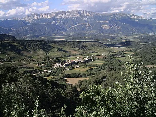 Diois Mountain, Drôme8.9 km S
-
Roanne River, Drôme5.9 km SW
-
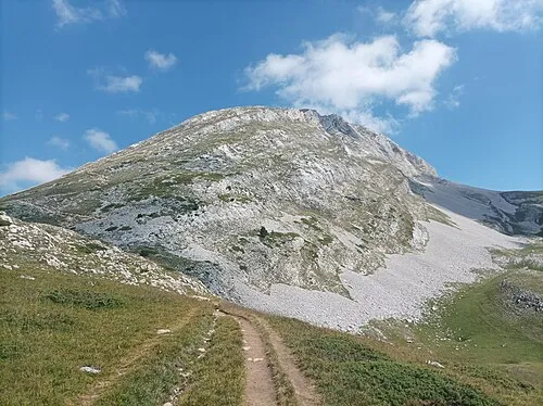 Grand Veymont Mountain, Gresse-en-Vercors23 km NE
-
Ruisseau de Brette River, Drôme14 km S
-
Forêt de Saou Natural site, Drôme17 km SW
-
Montagne de Peyre-Rouge Mountain, Chichilianne17 km NE
-
Sommet de Tourte Barreaux Mountain, Chichilianne18 km NE
Sources & licences
Data last updated: