Arrondissement of Albertville
Located in Savoy, Auvergne-Rhône-Alpes Coordinates: 45°34′24″ N 6°37′05″ E
- Population
- 112,282
- 112.3K
- Elevation
- 1,900 m
- above sea level
- Local time
- UTC+01:00
- Europe/Paris · UTC+01:00
- Places inside
- 69
- listed under Arrondissement of Albertville
- Airports
- NCY Annecy Meythet airport57 km
- CMF Chambéry Aix les Bains airport58 km
About Arrondissement of Albertville
Arrondissement of Albertville is a municipality. Location: Savoy, Auvergne-Rhône-Alpes. Population: 112,282. Elevation: 1,900 m. The best months to visit are July–August. The nearest airport is Annecy Meythet airport (57 km). Nearby sights include Torrent du Cormet d'Arêches and Vallée de la Grande Maison.
Photos of Arrondissement of Albertville
-
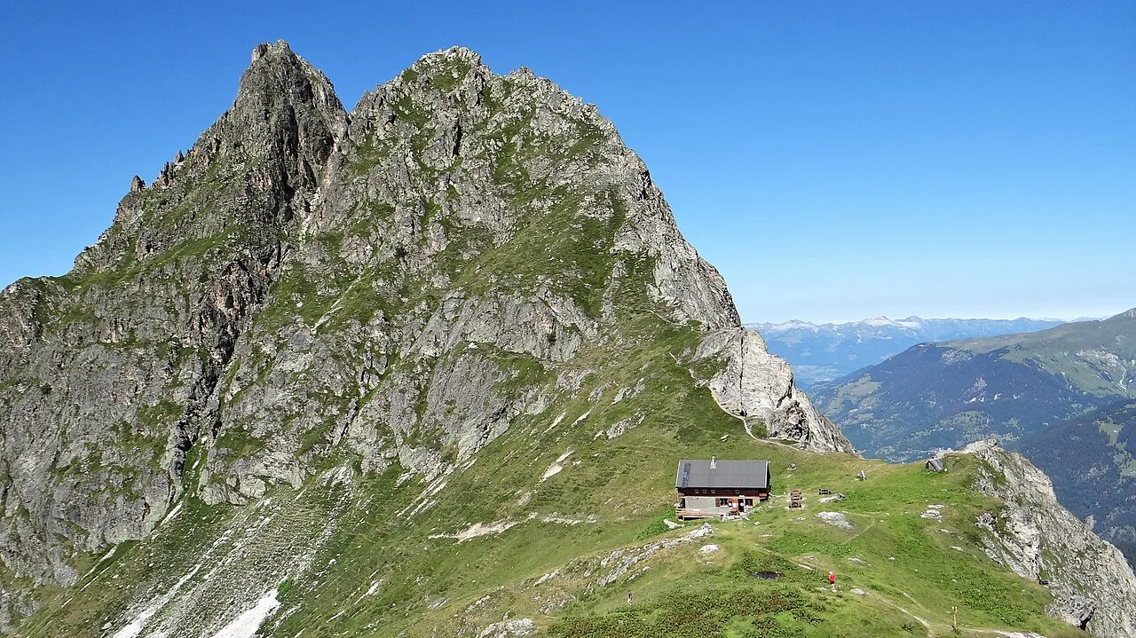
Pointe de la Vuzelle Ibex73 · CC BY-SA 4.0 -
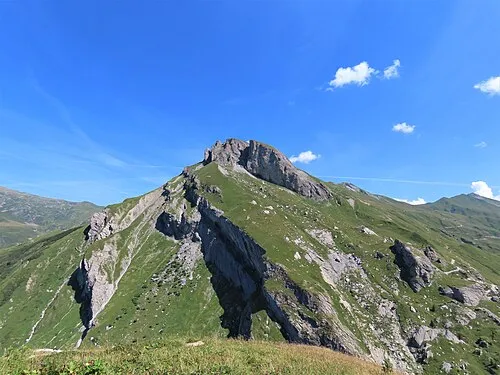
Rocher du Vent Rémih · CC BY-SA 4.0 -
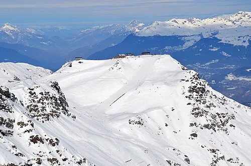
Roc des Trois Marches DimiTalen · CC0 -
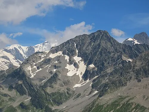
Mont Tondu Rémih · CC BY-SA 4.0 -
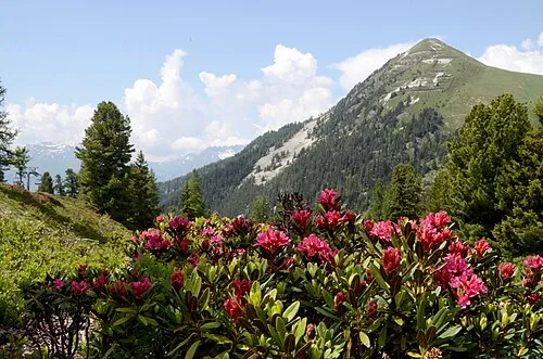
Mont Saint-Jacques Henk Monster · CC BY 3.0


Climate of Arrondissement of Albertville
Best months for sightseeingBest months for sightseeing: July–August.
This month · November
A wet month
Day 3° · Night -4° · Rain 156 mm
- Hottest month
- August (day 17°)
- Coldest month
- January (night -8°)
- Wettest month
- November (156 mm)
- Driest month
- July (90 mm)
Bars: average monthly low and high temperature. Below: precipitation. Monthly averages for 1970–2000 at about 18 km resolution, adjusted for elevation. Highlighted months are mild and relatively dry. Source: WorldClim 2.1 (CC BY 4.0).
Show values as a table
| Month | Jan | Feb | Mar | Apr | May | Jun | Jul | Aug | Sep | Oct | Nov | Dec |
|---|---|---|---|---|---|---|---|---|---|---|---|---|
| Average high (°C) | -1° | 0° | 2° | 4° | 10° | 13° | 17° | 17° | 13° | 9° | 3° | 0° |
| Average low (°C) | -8° | -8° | -6° | -3° | 1° | 4° | 7° | 7° | 4° | 1° | -4° | -6° |
| Precipitation (mm) | 140 | 137 | 120 | 118 | 124 | 112 | 90 | 97 | 104 | 135 | 156 | 153 |
How to get to Arrondissement of Albertville
The nearest airport is Annecy Meythet airport (NCY), 57 km to the northwest as the crow flies. For international flights: Geneva International Airport (GVA) (84 km). The nearest large city is Geneva, 79 km to the northwest.
Airports
- Annecy Meythet airport (NCY) Annecy 57 kmnorthwest
- Chambéry Aix les Bains airport (CMF) Chambéry 58 kmwest
- Geneva International Airport (GVA) Geneva 84 kmnorthwest
Nearby large cities
- Geneva Population: 201.7K 79 kmnorthwest
- Grenoble Population: 158.6K 83 kmsouthwest
- Lausanne Population: 139.1K 105 kmnorth
- Villeurbanne Population: 131.4K 137 kmwest
- Lyon Population: 520.8K 139 kmwest
Straight-line distances; road distances are longer. Airport data: OurAirports.
Day trips from Arrondissement of Albertville
Within 100 km: 132 historic and cultural sites, 2,489 natural sites, 365 lakes, rivers and coasts.
0–25 km179 places
- Lac des Vaches Lake 23 kmSE
- Lacs de la Tempête Lake 8 kmNW
- Lac de la Plagne Lake 21 kmSE
- Lac Long Lake 24 kmSE
25–60 km943 places
- Lac d'Orny Lake 59 kmNE
- Grand Lé Lake 55 kmNE
- Lac du Vieux Emosson Lake 58 kmN
- Petit Lé Lake 55 kmNE
60–100 km1,864 places
- Ile de Salagnon Island 99 kmN
- Lac Mort Lake 89 kmSW
- Lake Leman Lake 97 kmN
- Lac de Fully Lake 77 kmNE
Straight-line distances.
Arrondissement of Albertville and similar cities
Side by side with cities of similar size in the same country: population, elevation and climate.
| Measure | Arrondissement of Albertville | Mulhouse | Montreuil | Perpignan |
|---|---|---|---|---|
| Population | 112.3K | 111.4K | 111.2K | 110.7K |
| Elevation | 1,900 m | 238 m | 79 m | 43 m |
| Summer day (hottest month) | 17° | 25° | 25° | 29° |
| Winter night (coldest month) | -8° | -1° | 2° | 4° |
| Annual rainfall | 1,486 mm | 725 mm | 641 mm | 540 mm |
| Best months | Jul–Aug | May–Sep | May–Sep | May–Oct |
| Distance | — | 248 km | 483 km | 437 km |
Climate values are 1970–2000 monthly averages; straight-line distance.
Places in Arrondissement of Albertville
69 places- 1 Albertville 19.1K
- 2 Bourg-Saint-Maurice 7.3K
- 3 Ugine 7.1K
- 4 Aime-la-Plagne 4.4K
- 5 Grand-Aigueblanche 3.8K
- 6 La Plagne Tarentaise 3.7K
- 7 Moûtiers 3.5K
- 8 Les Belleville 3.5K
- 9 Mercury 3.1K
- 10 Gilly-sur-Isère 3K
- 11 La Léchère 2.5K
- 12 Courchevel 2.4K
- 13 Séez 2.4K
- 14 Tignes 2.4K
- 15 La Bâthie 2.2K
- 16 Grignon 2.1K
- 17 Beaufort 2.1K
- 18 Bozel 1.9K
- 19 Frontenex 1.9K
- 20 Les Allues 1.8K
- 21 Val-d'Isère 1.6K
- 22 Marthod 1.4K
- 23 Grésy-sur-Isère 1.2K
- 24 Sainte-Hélène-sur-Isère 1.2K
- 25 Notre-Dame-des-Millières 1K
- 26 Salins-Fontaine 1K
- 27 Tours-en-Savoie 971
- 28 Verrens-Arvey 899
- 29 Landry 834
- 30 Queige 816
- 31 Flumet 810
- 32 Esserts-Blay 808
- 33 Les Avanchers-Valmorel 775
- 34 Pallud 768
- 35 Hauteluce 762
- 36 Sainte-Foy-Tarentaise 740
- 37 Cevins 735
- 38 Pralognan-la-Vanoise 733
- 39 Villard-sur-Doron 712
- 40 Saint-Vital 688
- 41 Montvalezan 687
- 42 Montailleur 680
- 43 Montagny 662
- 44 Peisey-Nancroix 641
- 45 Venthon 635
- 46 Tournon 608
- 47 Saint-Marcel 607
- 48 Champagny-en-Vanoise 593
- 49 Les Chapelles 559
- 50 Monthion 559
- 51 Saint-Paul-sur-Isère 516
- 52 Brides-les-Bains 512
- 53 Notre-Dame-de-Bellecombe 483
- 54 Rognaix 473
- 55 Saint-Nicolas-la-Chapelle 445
- 56 Plancherine 431
- 57 Césarches 426
- 58 Planay 419
- 59 Cléry 418
- 60 La Giettaz 416
Bar: population relative to the most populous place in this list.
Nearby attractions & nature
Everything nearby-
Torrent du Cormet d'Arêches River, Savoy3.6 km SE
-
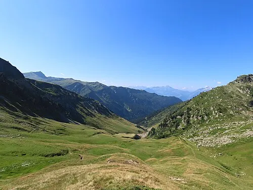 Vallée de la Grande Maison Natural site, Savoy8.9 km W
-
Massif de Beaufort Mountain, Savoy10 km N
-
Lacs de la Tempête Lake, Savoy8.3 km NW
-
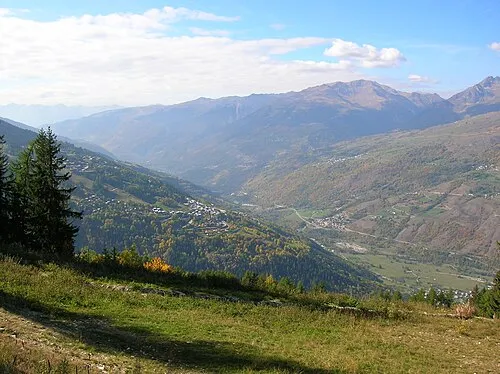 Tarentaise Natural site, Savoy12 km SW
-
Torrent du Ponturin River, Savoy9.3 km E
-
Vallée de Poncellamont Natural site, Savoy11 km N
-
Torrent de Treicol River, Savoy10 km N
Sources & licences
Data last updated: