- Elevation
- 522 m
- above sea level
- Local time
- UTC+01:00
- Europe/Paris · UTC+01:00
- Airports
- CMF Chambéry Aix les Bains airport51 km
- NCY Annecy Meythet airport57 km
About Tarentaise
Tarentaise is a natural site. Location: Savoy, Auvergne-Rhône-Alpes.
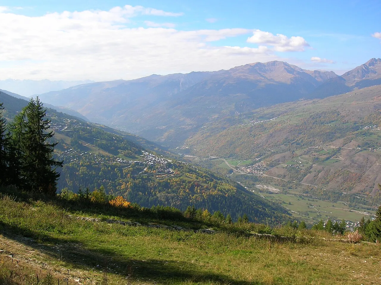
The Tarentaise Valley (French: Vallée de la Tarentaise, pronounced [vale də la taʁɑ̃tɛz]; Arpitan: Tarentèsa; Italian: Tarantasia) is a valley of the Isère River in the heart of the French Alps, located in the Savoy region of France. The valley is named for the ancient town of Darantasia, the capital of the pre-Roman Centrones tribe.
Source: Wikipedia · CC BY-SA 4.0
Photos of Tarentaise
-

Tiia Monto · CC BY-SA 4.0 -

Rémih · CC BY-SA 4.0 -

Rémih · CC BY-SA 4.0 -

Guilhem Vellut from Annecy, France · CC BY 2.0 -

B. Brassoud · CC BY-SA 4.0


Climate of Tarentaise
Best months for sightseeingBest months for sightseeing: June–September.
This month · November
A wet month
Day 12° · Night 5° · Rain 144 mm
- Hottest month
- August (day 26°)
- Coldest month
- January (night 1°)
- Wettest month
- November (144 mm)
- Driest month
- July (81 mm)
Bars: average monthly low and high temperature. Below: precipitation. Monthly averages for 1970–2000 at about 18 km resolution, adjusted for elevation. Highlighted months are mild and relatively dry. Source: WorldClim 2.1 (CC BY 4.0).
Show values as a table
| Month | Jan | Feb | Mar | Apr | May | Jun | Jul | Aug | Sep | Oct | Nov | Dec |
|---|---|---|---|---|---|---|---|---|---|---|---|---|
| Average high (°C) | 8° | 9° | 11° | 14° | 19° | 23° | 26° | 26° | 22° | 17° | 12° | 9° |
| Average low (°C) | 1° | 1° | 3° | 6° | 10° | 13° | 16° | 16° | 13° | 10° | 5° | 2° |
| Precipitation (mm) | 129 | 124 | 109 | 108 | 114 | 103 | 81 | 90 | 98 | 127 | 144 | 140 |
Other places to visit in this season: June July August September
How to get to Tarentaise
The nearest airport is Chambéry Aix les Bains airport (CMF), 51 km to the west as the crow flies. For international flights: Geneva International Airport (GVA) (87 km). The nearest large city is Grenoble, 71 km to the southwest.
Airports
- Chambéry Aix les Bains airport (CMF) Chambéry 51 kmwest
- Annecy Meythet airport (NCY) Annecy 57 kmnorthwest
- Geneva International Airport (GVA) Geneva 87 kmnorth
Nearby large cities
- Grenoble Population: 158.6K 71 kmsouthwest
- Geneva Population: 201.7K 83 kmnorth
- Lausanne Population: 139.1K 113 kmnorth
- Villeurbanne Population: 131.4K 130 kmwest
- Lyon Population: 520.8K 132 kmwest
Straight-line distances; road distances are longer. Airport data: OurAirports.
Day trips from Tarentaise
Within 100 km: 124 historic and cultural sites, 2,285 natural sites, 341 lakes, rivers and coasts.
0–25 km165 places
- Lac des Vaches Lake 25 kmSE
- Lacs de la Tempête Lake 14 kmN
- Lacs de Forcle Lake 24 kmNE
- Lac d'Amour Lake 19 kmNE
25–60 km814 places
- St Alban Plage Beach 55 kmW
- Plage de Menthon Saint Bernard Beach 47 kmNW
- Plage d'Albigny Beach 53 kmNW
- Plage St Jorioz Beach 46 kmNW
60–100 km1,771 places
- Lac Mort Lake 76 kmSW
- Lac de Fully Lake 88 kmNE
- Lac d'Émosson Lake 73 kmNE
- Lac Sup. de Fully Lake 88 kmNE
Straight-line distances.
Nearest towns and villages
-
Grand-Aigueblanche Village, Arrondissement of Albertville0.8 km E
-
Aigueblanche Village, Grand-Aigueblanche0.5 km N
-
Le Bois Village, Grand-Aigueblanche1.1 km S
-
Saint-Oyen Village, Grand-Aigueblanche1.3 km W
-
Moûtiers Village, Arrondissement of Albertville3.1 km SE
-
Moûtiers Village, Moûtiers3 km SE
Nearby attractions & nature
Everything nearby-
Torrent Morel River, Savoy1.4 km NW
-
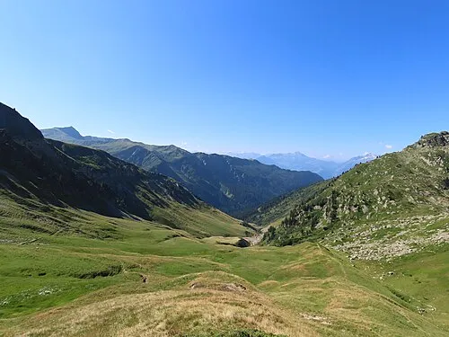 Vallée de la Grande Maison Natural site, Savoy7.7 km N
-
Pointe de Crève-Tête Mountain, Les Avanchers-Valmorel6 km SW
-
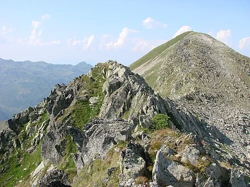 Mont Bellachat Mountain, La Léchère8.7 km NW
-
Pointe des Arangles Mountain, La Léchère7.5 km NW
-
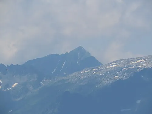 Pointe de Combe Bronsin Mountain, La Léchère8.4 km W
-
Torrent Eau Rousse River, Savoy4.1 km NW
-
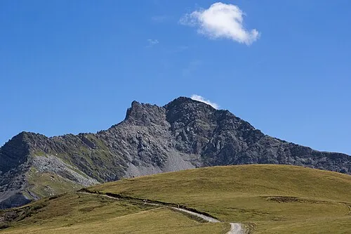 Le Cheval Noir Mountain, Les Belleville11 km SW
More nature in France
-
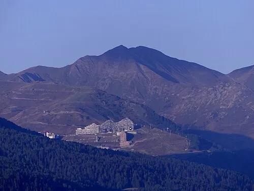 Mont Jovet Mountain, Aime-la-Plagne11 km E
-
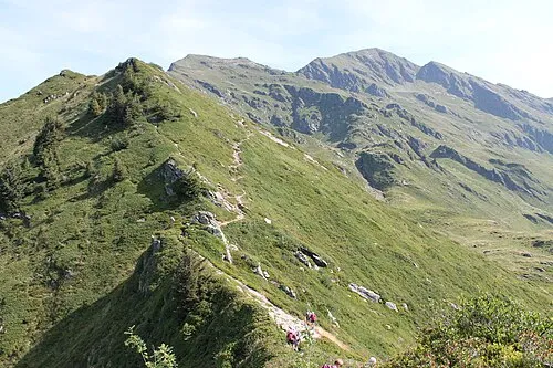 Le Grand Arc Mountain, Saint-Paul-sur-Isère13 km NW
-
Le Grand Château Mountain, La Léchère9.2 km W
-
Mont des Archets Mountain, Notre-Dame-du-Pré10 km E
-
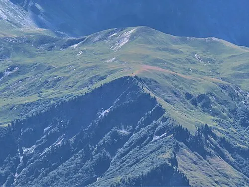 Montagne des Génisses Mountain, La Léchère12 km NE
-
Pointe du Mottet Mountain, Les Belleville10 km SW
Sources & licences
Data last updated: · 2 independent sources