- Elevation
- 1,296 m
- above sea level
- Local time
- UTC+01:00
- Europe/Paris · UTC+01:00
- Airports
- NCY Annecy Meythet airport32 km
- GVA Geneva International Airport40 km
About Genevois
Genevois is a mountain. Location: Upper Savoy, Auvergne-Rhône-Alpes. Elevation: 1,296 m. The best months to visit are July–August. The nearest airport is Annecy Meythet airport (32 km). Nearby sights include Pointe de la Botte and Le Bargy.
Photos of Genevois
-
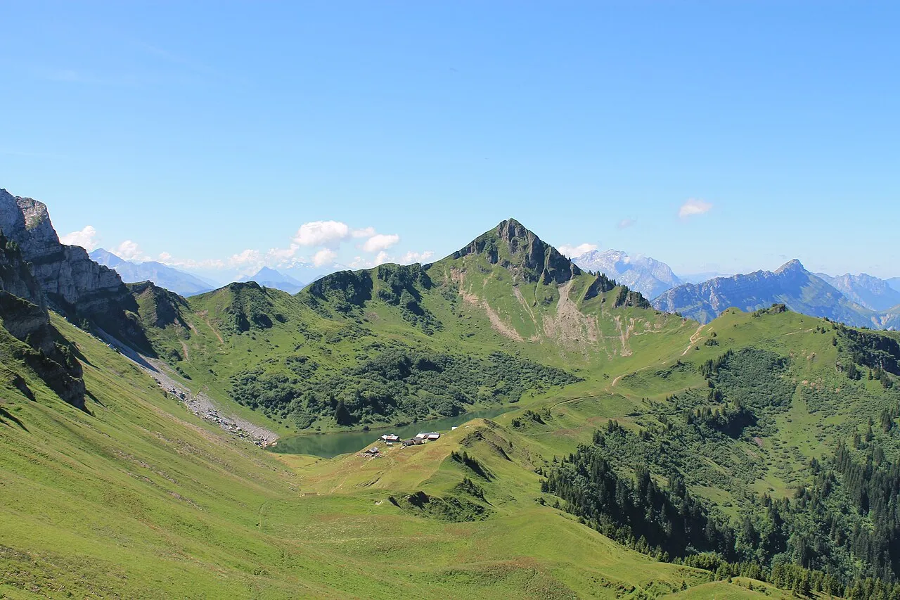
Aiguille Verte B. Brassoud alias B-noa · CC BY-SA 4.0 -
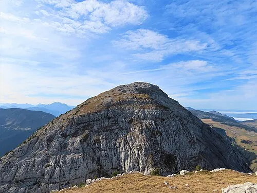
Le Bargy Rémih · CC BY-SA 4.0 -
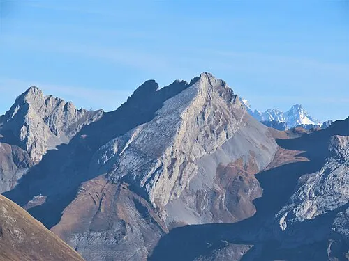
Pointe de Bella Cha Rémih · CC BY-SA 4.0 -
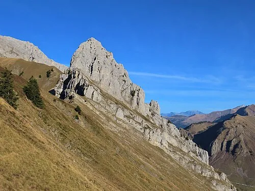
Le Buclon Rémih · CC BY-SA 4.0 -
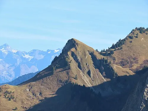
Pointe de la Botte Rémih · CC BY-SA 4.0


Climate of Genevois
Best months for sightseeingBest months for sightseeing: July–August.
This month · November
A wet month
Day 6° · Night -1° · Rain 142 mm
- Hottest month
- July (day 20°)
- Coldest month
- January (night -5°)
- Wettest month
- December (146 mm)
- Driest month
- July (98 mm)
Bars: average monthly low and high temperature. Below: precipitation. Monthly averages for 1970–2000 at about 18 km resolution, adjusted for elevation. Highlighted months are mild and relatively dry. Source: WorldClim 2.1 (CC BY 4.0).
Show values as a table
| Month | Jan | Feb | Mar | Apr | May | Jun | Jul | Aug | Sep | Oct | Nov | Dec |
|---|---|---|---|---|---|---|---|---|---|---|---|---|
| Average high (°C) | 2° | 3° | 5° | 8° | 14° | 17° | 20° | 20° | 17° | 11° | 6° | 3° |
| Average low (°C) | -5° | -5° | -3° | 0° | 4° | 7° | 10° | 10° | 7° | 3° | -1° | -4° |
| Precipitation (mm) | 131 | 133 | 110 | 105 | 113 | 117 | 98 | 98 | 101 | 122 | 142 | 146 |
How to get to Genevois
The nearest airport is Annecy Meythet airport (NCY), 32 km to the west as the crow flies. For international flights: Geneva International Airport (GVA) (40 km). The nearest large city is Geneva, 35 km to the northwest.
Airports
- Annecy Meythet airport (NCY) Annecy 32 kmwest
- Geneva International Airport (GVA) Geneva 40 kmnorthwest
- Chambéry Aix les Bains airport (CMF) Chambéry 63 kmsouthwest
Nearby large cities
- Geneva Population: 201.7K 35 kmnorthwest
- Lausanne Population: 139.1K 58 kmnorth
- Grenoble Population: 158.6K 110 kmsouthwest
- Bern Population: 121.6K 128 kmnortheast
- Villeurbanne Population: 131.4K 128 kmwest
Straight-line distances; road distances are longer. Airport data: OurAirports.
Day trips from Genevois
Within 100 km: 146 historic and cultural sites, 2,813 natural sites, 440 lakes, rivers and coasts.
0–25 km208 places
- Lake Anterne Lake 23 kmE
- Lac d'Anthon Lake 15 kmN
- Lac de Roy Lake 17 kmN
- Lac de Morillon Lake 17 kmNE
25–60 km1,162 places
- Ile de Salagnon Island 57 kmNE
- Lake Leman Lake 49 kmN
- Lac de Fully Lake 50 kmNE
- Lac d'Émosson Lake 33 kmE
60–100 km2,029 places
- Ile d'Ogoz Island 90 kmNE
- Schwarzsee Lake 95 kmNE
- Lac de Joux Lake 73 kmN
- Lac de la Gruyère Lake 87 kmNE
Straight-line distances.
Nearest towns and villages
-
Le Reposoir Village, Arrondissement de Bonneville3.1 km NE
-
Mont-Saxonnex Village, Arrondissement de Bonneville6.2 km N
-
Marnaz Village, Arrondissement de Bonneville6.9 km N
-
Mont-Saxonnex Village, Mont-Saxonnex6 km N
-
Scionzier Village, Arrondissement de Bonneville7.4 km NE
-
Le Reposoir Village, Le Reposoir3 km NE
Nearby attractions & nature
Everything nearby-
Pointe de la Botte Mountain, Le Reposoir1.2 km SW
-
Le Bargy Mountain, Le Reposoir2 km N
-
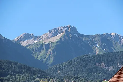 Pointe du Midi Mountain, Mont-Saxonnex2.3 km W
-
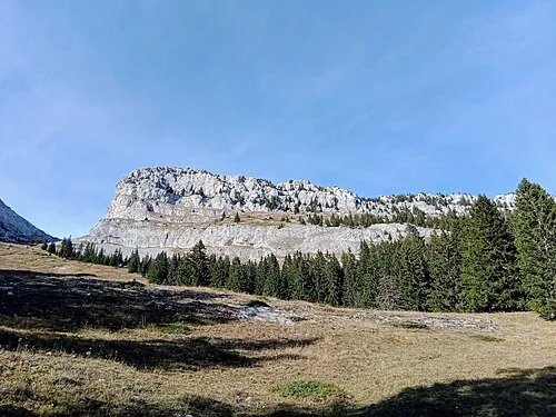 Petit Bargy Mountain, Marnaz2.8 km N
-
Tête d'Aufferand Mountain, Le Grand-Bornand2.1 km SW
-
Pointe d'Almet Mountain, Le Reposoir2.4 km SE
-
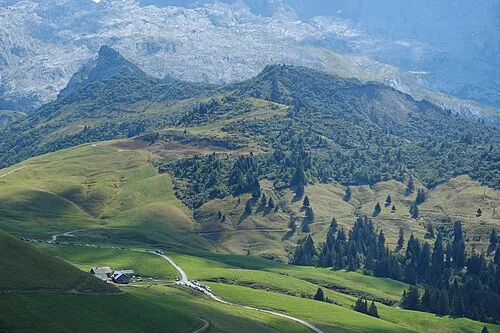 La Tête des Annes Mountain, Le Grand-Bornand4.4 km SE
-
Pic De Jalouvre (Pointe Blanche) Mountain, Mont-Saxonnex3.1 km W
More nature in France
-
Le Buclon Mountain, Le Grand-Bornand4.6 km W
-
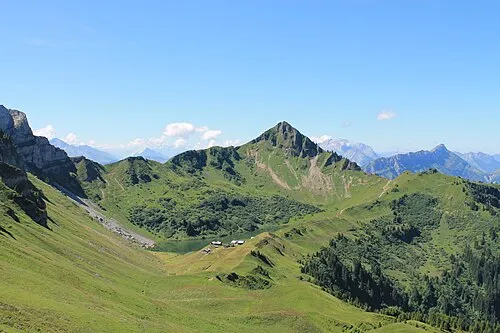 Aiguille Verte Mountain, Glières-Val-de-Borne5.6 km W
-
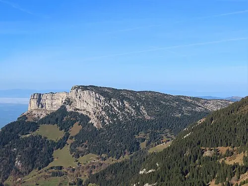 Rochers de Leschaux Mountain, Brizon6.3 km W
-
Pointe de Bella Cha Mountain, Le Reposoir5.8 km SE
-
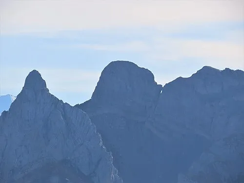 Pointes longues Mountain, Le Reposoir6 km SE
-
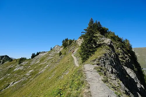 Pointe des Delevrets Mountain, Le Grand-Bornand4.8 km SE
Sources & licences
Data last updated: