- Elevation
- 190 m
- above sea level
- Local time
- UTC+01:00
- Europe/Paris · UTC+01:00
- Airports
- DLE Dole Tavaux Airport19 km
- GVA Geneva International Airport110 km
About Le Meix
Le Meix is a village. Location: Lanthes, Arrondissement of Beaune. Elevation: 190 m. The best months to visit are June–September. The nearest airport is Dole Tavaux Airport (19 km). Nearby sights include Forêt de Glaine and Cîteaux Abbey.
Climate of Le Meix
Best months for sightseeingBest months for sightseeing: June–September.
This month · November
A cold month
Day 9° · Night 3° · Rain 83 mm
- Hottest month
- July (day 25°)
- Coldest month
- January (night 0°)
- Wettest month
- May (92 mm)
- Driest month
- March (54 mm)
Bars: average monthly low and high temperature. Below: precipitation. Monthly averages for 1970–2000 at about 18 km resolution, adjusted for elevation. Highlighted months are mild and relatively dry. Source: WorldClim 2.1 (CC BY 4.0).
Show values as a table
| Month | Jan | Feb | Mar | Apr | May | Jun | Jul | Aug | Sep | Oct | Nov | Dec |
|---|---|---|---|---|---|---|---|---|---|---|---|---|
| Average high (°C) | 5° | 7° | 12° | 15° | 20° | 23° | 25° | 25° | 21° | 16° | 9° | 6° |
| Average low (°C) | 0° | 0° | 3° | 5° | 9° | 13° | 15° | 14° | 11° | 8° | 3° | 1° |
| Precipitation (mm) | 67 | 63 | 54 | 65 | 92 | 76 | 67 | 64 | 79 | 80 | 83 | 72 |
Other places to visit in this season: June July August September
How to get to Le Meix
The nearest airport is Dole Tavaux Airport (DLE), 19 km to the east as the crow flies. For international flights: Geneva International Airport (GVA) (110 km). The nearest large city is Dijon, 37 km to the north.
Airports
- Dole Tavaux Airport (DLE) Dole 19 kmeast
- Geneva International Airport (GVA) Geneva 110 kmsoutheast
- Annecy Meythet airport (NCY) Annecy 138 kmsoutheast
Nearby large cities
- Dijon Population: 159.9K 37 kmnorth
- Besançon Population: 128.4K 69 kmnortheast
- Geneva Population: 201.7K 115 kmsoutheast
- Lausanne Population: 139.1K 123 kmsoutheast
- Villeurbanne Population: 131.4K 139 kmsouth
Straight-line distances; road distances are longer. Airport data: OurAirports.
Day trips from Le Meix
Within 100 km: 179 historic and cultural sites, 419 natural sites, 178 lakes, rivers and coasts.
0–25 km38 places
- Étang Millot Lake 14 kmN
- Étang du Milieu Lake 11 kmS
- Étang des Fontaines Lake 14 kmNW
- Étang de Cîteaux Lake 17 kmNW
25–60 km191 places
- Étang Seigneur Lake 28 kmSE
- Étang de Montaubry Lake 56 kmSW
- Étang de Marcilly Lake 57 kmN
- Étang Fauché Lake 54 kmW
60–100 km547 places
- Lac de Joux Lake 93 kmSE
- Lac Brenet Lake 94 kmSE
- Barrage du Day Lake 97 kmE
- Lac Ter Lake 93 kmSE
Straight-line distances.
Nearby attractions & nature
Everything nearby-
Forêt de Glaine Natural site, Cote d'Or5.6 km W
-
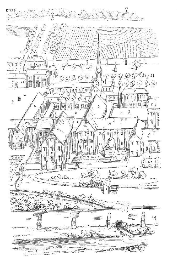 Cîteaux Abbey Attraction, Saint-Nicolas-lès-Cîteaux16 km NW
-
Guyotte River, Saône-et-Loire7.9 km SW
-
Vouge River, Cote d'Or8.6 km N
-
Abbaye de Molaise Historic site, Écuelles12 km SW
-
Oratoire Saint-Louis Historic site, Écuelles12 km SW
Sources & licences
Data last updated: