- Population
- 180
- 180
- Elevation
- 239 m
- above sea level
- Local time
- UTC+01:00
- Europe/Paris · UTC+01:00
- Places inside
- 1
- listed under Vougeot
- Airports
- DLE Dole Tavaux Airport38 km
- GVA Geneva International Airport136 km
About Vougeot
Vougeot is a village. Location: Arrondissement of Beaune, Cote d'Or. Population: 180. Elevation: 239 m. The best months to visit are June–September. The nearest airport is Dole Tavaux Airport (38 km). Nearby sights include Château de Gilly and Nuits Saint Georges TV Mast.
Climate of Vougeot
Best months for sightseeingBest months for sightseeing: June–September.
This month · November
A cold month
Day 9° · Night 3° · Rain 79 mm
- Hottest month
- July (day 25°)
- Coldest month
- January (night 0°)
- Wettest month
- May (92 mm)
- Driest month
- March (54 mm)
Bars: average monthly low and high temperature. Below: precipitation. Monthly averages for 1970–2000 at about 18 km resolution, adjusted for elevation. Highlighted months are mild and relatively dry. Source: WorldClim 2.1 (CC BY 4.0).
Show values as a table
| Month | Jan | Feb | Mar | Apr | May | Jun | Jul | Aug | Sep | Oct | Nov | Dec |
|---|---|---|---|---|---|---|---|---|---|---|---|---|
| Average high (°C) | 5° | 7° | 11° | 14° | 18° | 22° | 25° | 24° | 20° | 15° | 9° | 6° |
| Average low (°C) | 0° | 0° | 3° | 5° | 9° | 12° | 15° | 14° | 11° | 8° | 3° | 1° |
| Precipitation (mm) | 68 | 62 | 54 | 62 | 92 | 76 | 64 | 64 | 74 | 76 | 79 | 72 |
Other places to visit in this season: June July August September
How to get to Vougeot
The nearest airport is Dole Tavaux Airport (DLE), 38 km to the southeast as the crow flies. For international flights: Geneva International Airport (GVA) (136 km). The nearest large city is Dijon, 16 km to the north.
Airports
- Dole Tavaux Airport (DLE) Dole 38 kmsoutheast
- Geneva International Airport (GVA) Geneva 136 kmsoutheast
- Lyon Saint-Exupéry Airport (LYS) Colombier-Saugnieu, Rhône 162 kmsouth
Nearby large cities
- Dijon Population: 159.9K 16 kmnorth
- Besançon Population: 128.4K 80 kmeast
- Geneva Population: 201.7K 141 kmsoutheast
- Lausanne Population: 139.1K 147 kmsoutheast
- Villeurbanne Population: 131.4K 157 kmsouth
Straight-line distances; road distances are longer. Airport data: OurAirports.
Day trips from Vougeot
Within 100 km: 203 historic and cultural sites, 464 natural sites, 167 lakes, rivers and coasts.
0–25 km61 places
- Étang Millot Lake 14 kmSE
- Étang des Fontaines Lake 12 kmSE
- Étang de Cîteaux Lake 10 kmSE
- Mont Afrique Mountain 13 kmN
25–60 km219 places
- Étang de Torcy-Neuf Lake 60 kmSW
- Étang de la Toison Lake 58 kmSW
- Étang Seigneur Lake 53 kmSE
- Étang de la Noue Lake 55 kmSW
60–100 km554 places
- Réservoir de Villegusien Lake 69 kmNE
- Lac des Settons Lake 68 kmW
- Étang de Poisson Lake 72 kmSW
- Étang Neuf Lake 80 kmSW
Straight-line distances.
Places in Vougeot
1 placeBar: population relative to the most populous place in this list.
Nearby attractions & nature
Everything nearby-
Château de Gilly Historic site, Gilly-lès-Cîteaux1.4 km E
-
Nuits Saint Georges TV Mast Landmark, Nuits-Saint-Georges5.3 km SW
-
Bois de Souzières Natural site, Cote d'Or5.9 km SE
-
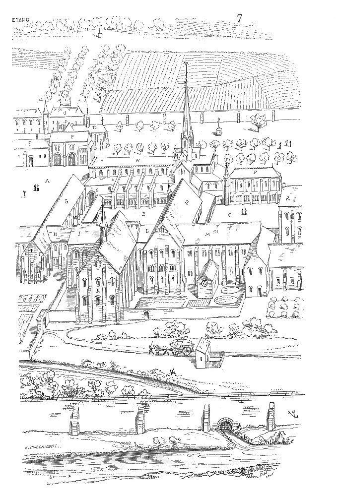 Cîteaux Abbey Attraction, Saint-Nicolas-lès-Cîteaux11 km SE
-
Manoir de La Perrière de Fixin Historic site, Fixin7.6 km N
-
Abbaye de Lieu-Dieu Historic site, Marey-lès-Fussey9.2 km SW
Sources & licences
Data last updated: