Arrondissement of Guingamp
Located in Côtes-d'Armor, Brittany Region Coordinates: 48°27′21″ N 3°13′20″ W
- Population
- 126,343
- 126.3K
- Elevation
- 259 m
- above sea level
- Local time
- UTC+01:00
- Europe/Paris · UTC+01:00
- Places inside
- 111
- listed under Arrondissement of Guingamp
- Airports
- BES Brest Bretagne airport88 km
- JER Jersey Airport113 km
About Arrondissement of Guingamp
Arrondissement of Guingamp is a municipality. Location: Côtes-d'Armor, Brittany Region. Population: 126,343. Elevation: 259 m. The best months to visit are June–September. The nearest airport is Brest Bretagne airport (88 km). Nearby sights include Pen lan Steunou and Ruisseau du Bois de la Roche.
Climate of Arrondissement of Guingamp
Best months for sightseeingBest months for sightseeing: June–September.
This month · November
A wet month
Day 11° · Night 5° · Rain 130 mm
- Hottest month
- August (day 20°)
- Coldest month
- February (night 3°)
- Wettest month
- November (130 mm)
- Driest month
- July (51 mm)
Bars: average monthly low and high temperature. Below: precipitation. Monthly averages for 1970–2000 at about 18 km resolution, adjusted for elevation. Highlighted months are mild and relatively dry. Source: WorldClim 2.1 (CC BY 4.0).
Show values as a table
| Month | Jan | Feb | Mar | Apr | May | Jun | Jul | Aug | Sep | Oct | Nov | Dec |
|---|---|---|---|---|---|---|---|---|---|---|---|---|
| Average high (°C) | 8° | 8° | 10° | 12° | 15° | 18° | 20° | 20° | 18° | 15° | 11° | 9° |
| Average low (°C) | 3° | 3° | 4° | 5° | 8° | 10° | 12° | 12° | 11° | 8° | 5° | 4° |
| Precipitation (mm) | 127 | 103 | 93 | 73 | 75 | 59 | 51 | 60 | 83 | 105 | 130 | 127 |
Other places to visit in this season: June July August September
How to get to Arrondissement of Guingamp
The nearest airport is Brest Bretagne airport (BES), 88 km to the west as the crow flies. The nearest large city is Brest, 94 km to the west.
Airports
- Brest Bretagne airport (BES) Brest 88 kmwest
- Jersey Airport (JER) St. Peter 113 kmnortheast
- Guernsey Airport (GCI) Saint Peter Port 118 kmnorth
Nearby large cities
- Brest Population: 144.9K 94 kmwest
- Rennes Population: 227.8K 121 kmeast
- Nantes Population: 325.1K 186 kmsoutheast
- Plymouth Population: 260.2K 223 kmnorth
- Caen Population: 110.6K 225 kmeast
Straight-line distances; road distances are longer. Airport data: OurAirports.
Day trips from Arrondissement of Guingamp
Within 100 km: 288 historic and cultural sites, 151 natural sites, 237 lakes, rivers and coasts.
0–25 km21 places
- Étang Beffou Lake 24 kmW
- Ménez Fanteu Mountain 12 kmW
- Pen lan Steunou Natural site 10 kmW
- Bois Meur Natural site 13 kmE
25–60 km217 places
- Île Grande Island 46 kmNW
- Kastell Koad Freg Historic site 32 kmNW
- Kastell Tonkedeg Historic site 28 kmNW
- Trieux River 42 kmN
60–100 km438 places
- Île de Groix Island 93 kmS
- Plage de Carnac Beach 100 kmS
- Île aux Rats Island 98 kmSW
- Moros River 82 kmSW
Straight-line distances.
Arrondissement of Guingamp and similar cities
Side by side with cities of similar size in the same country: population, elevation and climate.
| Measure | Arrondissement of Guingamp | Besançon | Metz | Villeurbanne |
|---|---|---|---|---|
| Population | 126.3K | 128.4K | 123.9K | 131.4K |
| Elevation | 259 m | 300 m | 182 m | 177 m |
| Summer day (hottest month) | 20° | 24° | 25° | 27° |
| Winter night (coldest month) | 3° | -1° | -1° | 0° |
| Annual rainfall | 1,086 mm | 1,156 mm | 776 mm | 844 mm |
| Best months | Jun–Sep | Jun–Sep | May–Sep | May–Sep |
| Distance | — | 704 km | 694 km | 683 km |
Climate values are 1970–2000 monthly averages; straight-line distance.
Places in Arrondissement of Guingamp
111 places- 61 Plésidy 612
- 62 Pont-Melvez 609
- 63 Coadout 581
- 64 Trégonneau 566
- 65 Treffrin 559
- 66 Gommenec'h 553
- 67 Plusquellec 528
- 68 Saint-Laurent 490
- 69 Bringolo 463
- 70 Kermoroc'h 463
- 71 Lanrivain 461
- 72 Lannebert 449
- 73 Gurunhuel 433
- 74 Bulat-Pestivien 430
- 75 Saint-Gilles-les-Bois 428
- 76 Saint-Péver 415
- 77 Mellionnec 410
- 78 Saint-Servais 409
- 79 Locarn 405
- 80 La Chapelle-Neuve 404
- 81 Le Faouët 395
- 82 Maël-Pestivien 390
- 83 Cohiniac 365
- 84 Canihuel 360
- 85 Duault 359
- 86 Saint-Adrien 356
- 87 Tréméven 338
- 88 Plourac'h 322
- 89 Saint-Connan 300
- 90 Brélidy 299
- 91 Saint-Gilles-Pligeaux 290
- 92 Kerpert 275
- 93 Kerien 262
- 94 Lohuec 262
- 95 Runan 233
- 96 Senven-Léhart 233
- 97 Lanloup 230
- 98 Trévérec 219
- 99 Lescouët-Gouarec 218
- 100 Saint-Fiacre 214
- 101 Calanhel 211
- 102 Landebaëron 189
- 103 Sainte-Tréphine 188
- 104 Trémargat 181
- 105 Peumerit-Quintin 175
- 106 Saint-Nicodème 168
- 107 Saint-Igeaux 138
- 108 Lanleff 121
- 109 Tréogan 100
- 110 Magoar 85
- 111 Loc-Envel 70
Bar: population relative to the most populous place in this list.
Nearby attractions & nature
Everything nearby-
Pen lan Steunou Natural site, Côtes-d'Armor9.9 km W
-
Ruisseau du Bois de la Roche River, Côtes-d'Armor9.3 km NE
-
Forêt de Coat-an-hay Natural site, Côtes-d'Armor11 km NW
-
Forêt de Coat-an-noz Natural site, Côtes-d'Armor13 km NW
-
Bois de Malaunay Natural site, Côtes-d'Armor15 km NE
-
Bois Meur Natural site, Côtes-d'Armor13 km E
-
Forêt de Beffou Natural site, Côtes-d'Armor20 km W
-
Guic River, Côtes-d'Armor16 km NW
Other cities and towns in Côtes-d'Armor
-
Arrondissement of Lannion Municipality, Côtes-d'Armor30 km NW
-
Guingamp Town, Guingamp13 km NE
-
Arrondissement of Saint-Brieuc Municipality, Côtes-d'Armor44 km E
-
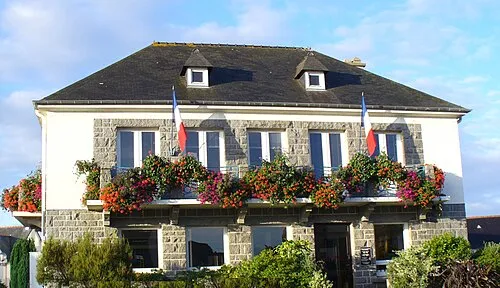 Langueux Town, Langueux38 km E
-
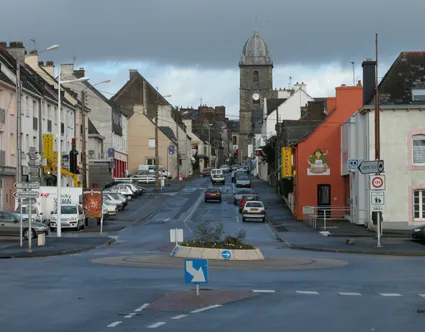 Loudéac Town, Loudéac46 km SE
-
Arrondissement of Dinan Municipality, Côtes-d'Armor80 km E
Sources & licences
Data last updated: