Parc Naturel Régional d'Armorique
Located in Finistère, Brittany Region Coordinates: 48°15′00″ N 4°00′00″ W
- Elevation
- 115 m
- above sea level
- Local time
- UTC+01:00
- Europe/Paris · UTC+01:00
- Airports
- BES Brest Bretagne airport38 km
- GCI Guernsey Airport167 km
About Parc Naturel Régional d'Armorique
Parc Naturel Régional d'Armorique is a natural site. Location: Finistère, Brittany Region. The best months to visit are June–September. The nearest airport is Brest Bretagne airport (38 km). Nearby sights include Église Saint-Germain de Pleyben and Mont de Saint-Michel.
Climate of Parc Naturel Régional d'Armorique
Best months for sightseeingBest months for sightseeing: June–September.
This month · November
A wet month
Day 12° · Night 6° · Rain 131 mm
- Hottest month
- August (day 21°)
- Coldest month
- February (night 4°)
- Wettest month
- January (131 mm)
- Driest month
- July (49 mm)
Bars: average monthly low and high temperature. Below: precipitation. Monthly averages for 1970–2000 at about 18 km resolution, adjusted for elevation. Highlighted months are mild and relatively dry. Source: WorldClim 2.1 (CC BY 4.0).
Show values as a table
| Month | Jan | Feb | Mar | Apr | May | Jun | Jul | Aug | Sep | Oct | Nov | Dec |
|---|---|---|---|---|---|---|---|---|---|---|---|---|
| Average high (°C) | 9° | 9° | 11° | 13° | 16° | 19° | 21° | 21° | 19° | 15° | 12° | 10° |
| Average low (°C) | 4° | 4° | 5° | 6° | 9° | 11° | 13° | 13° | 11° | 9° | 6° | 5° |
| Precipitation (mm) | 131 | 104 | 92 | 71 | 74 | 56 | 49 | 60 | 83 | 102 | 131 | 130 |
Other places to visit in this season: June July August September
How to get to Parc Naturel Régional d'Armorique
The nearest airport is Brest Bretagne airport (BES), 38 km to the northwest as the crow flies. The nearest large city is Brest, 39 km to the northwest.
Airports
- Brest Bretagne airport (BES) Brest 38 kmnorthwest
- Guernsey Airport (GCI) Saint Peter Port 167 kmnortheast
- Rennes-Saint-Jacques Airport (RNS) Saint-Jacques-de-la-Lande, Ille-et-Vilaine 170 kmeast
Nearby large cities
- Brest Population: 144.9K 39 kmnorthwest
- Rennes Population: 227.8K 174 kmeast
- Nantes Population: 325.1K 216 kmsoutheast
- Plymouth Population: 260.2K 236 kmnorth
- Angers Population: 168.3K 272 kmeast
Straight-line distances; road distances are longer. Airport data: OurAirports.
Day trips from Parc Naturel Régional d'Armorique
Within 100 km: 248 historic and cultural sites, 132 natural sites, 260 lakes, rivers and coasts.
0–25 km56 places
- Île de Tibidy Island 19 kmW
- Île de Terénez Island 21 kmW
- Ménez Keryéven Mountain 14 kmNE
- Roch Veur Mountain 15 kmS
25–60 km339 places
- Plage du Trez-Hir Beach 53 kmW
- Île aux Rats Island 46 kmS
- Moros River 42 kmS
- Plages de Trévignon Beach 48 kmS
60–100 km245 places
- Île de Groix Island 79 kmSE
- Île Grande Island 69 kmNE
- Kastell Koad Freg Historic site 67 kmNE
- Kastell Tonkedeg Historic site 64 kmNE
Straight-line distances.
Nearest towns and villages
Nearby attractions & nature
Everything nearby-
Église Saint-Germain de Pleyben Attraction, Pleyben3.4 km SE
-
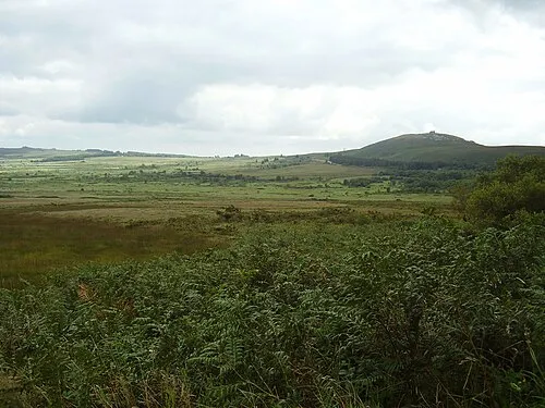 Mont de Saint-Michel Mountain, Saint-Rivoal12 km N
-
Ménez Troboa Mountain, Saint-Coulitz9.3 km SW
-
Menez-Kerque Mountain, Cast12 km SW
-
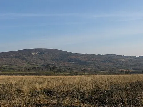 Ménez Hom Mountain, Dinéault18 km W
-
Caranoet Mountain, Sizun13 km N
-
Karreg an Tan Mountain, Gouézec11 km S
-
Forêt du Cranou Natural site, Finistère10 km NW
Sources & licences
Data last updated: